Map of Haines City
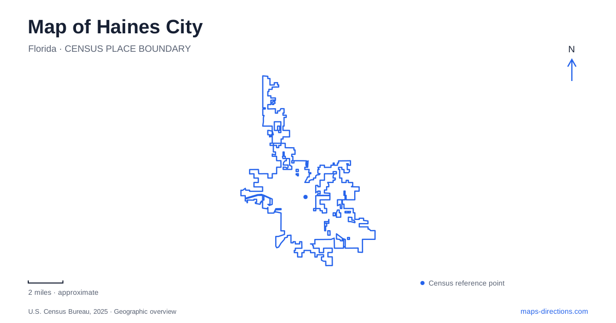
Street tiles load from OpenStreetMap when opened. The blue line shows the 2025 Census boundary.
- State
- Florida
- Population · July 2025
- 45,973
- Land area
- 23.9 sq mi
- Water area
- 1.6 sq mi
Haines City has two very different kinds of waterfront geography. Lake Eva is an organized public recreation setting, with buildings, paved paths, courts, and gathering places around the water. Farther east, Lake Marion Creek belongs to a much larger wetland landscape where water conservation and habitat shape access. Keeping those settings separate makes a local map more informative: a blue lake shape may represent a developed community destination, while another marks the beginning of a natural drainage system.
A town whose early map followed the railway
The settlement was platted in 1885 under the name Clay Cut. The South Florida Railroad had completed its route through Polk County toward Tampa Bay the previous year, providing the transportation framework around which several communities developed. The municipal history connects the later name to railroad official Henry Stevens Haines, while presenting the story of residents bargaining for a station as a tradition rather than an established certainty.
That background gives the older town a different context from the highway-oriented development often associated with central Florida. Haines City originated as a place along a rail corridor before becoming a municipality in 1914. When looking at its central streets, consider that history alongside the present recreation landscape. The railway explains the settlement’s beginnings; the lakefront helps explain where much of its public activity is concentrated today.
Lake Eva is a collection of destinations
Lake Eva Community Park occupies roughly 29 acres at 555 Ledwith Avenue. Its waterfront is supported by a substantial set of facilities, including a community center, aquatic recreation, a bandshell, and tennis facilities. The community center and event center have different functions, despite sharing the lake’s name. A class in the gymnasium, a gathering at the event venue, and an afternoon on the public paths are therefore three distinct uses of the same general area.
For a first look at Haines City, this complex offers a compact way to understand how civic recreation meets the shoreline. The developed grounds contain approximately two miles of concrete paths and sidewalks. Those paths organize movement among the facilities rather than describing a long wilderness trail. The bandshell and waterfront event space also make the park a gathering landscape, not simply an expanse of grass beside a lake.
The public boat ramp and fishing pier add another layer. Someone approaching the water with a boat needs a different part of the grounds from someone attending an indoor activity. On a detailed map, retain the shoreline, paths, and building outlines together. Removing either the water or the built facilities loses part of the park’s character and makes its different uses harder to interpret.
Neighborhood recreation beyond the lakefront
The Oakland Neighborhood Center, at 915 Avenue E, is a separate municipal recreation destination. Its address provides a useful counterpoint to the Ledwith Avenue complex: community facilities are distributed through the town rather than all belonging to Lake Eva. The city also identifies two aquatic facilities, Lake Eva and Janet J. Smith, so a general search for swimming does not necessarily identify the location someone has in mind.
A map of Haines City is more useful when it retains these individual facility names. Grouping everything under a single waterfront label would obscure the neighborhood center and the separate aquatic sites. For families comparing activities, the relevant geography is the relationship between their neighborhood and the particular facility, not merely the distance to the largest park symbol.
Following the landscape toward Lake Marion Creek
The Lake Marion Creek Wildlife Management Area lies about five miles east of town along State Road 580, on land north and east of Lake Marion. Its more than 8,000 acres were acquired to protect water resources and wildlife habitat. Much of the area is hardwood swamp, a substantial contrast with the paved recreation setting at Lake Eva.
The creek itself connects Lake Marion with Lake Hatchineha. That relationship helps explain why a waterbody map is especially useful here: the creek is part of a connected drainage landscape, not an isolated stream beside a recreation site. Public access to the management area is on foot or bicycle; the presence of a road near its boundary should not be interpreted as an unrestricted driving route through the property.
Reading Haines City at both scales reveals its distinctive setting. The central lakefront is a concentration of community facilities, while the eastern wetlands belong to a larger water system. The most useful local map preserves that contrast, showing where the town gathers around a developed shore and where the surrounding landscape becomes a place of creeks, swamp, and habitat protection.
Map and statistics: U.S. Census Bureau, 2025 Gazetteer, January 2025 generalized place boundaries and Vintage 2025 population estimates. Local references: City of Haines City; Florida Fish and Wildlife Conservation Commission; Polk County Water Atlas / University of South Florida. Article prepared by Maps & Directions.