Map of Hagerstown
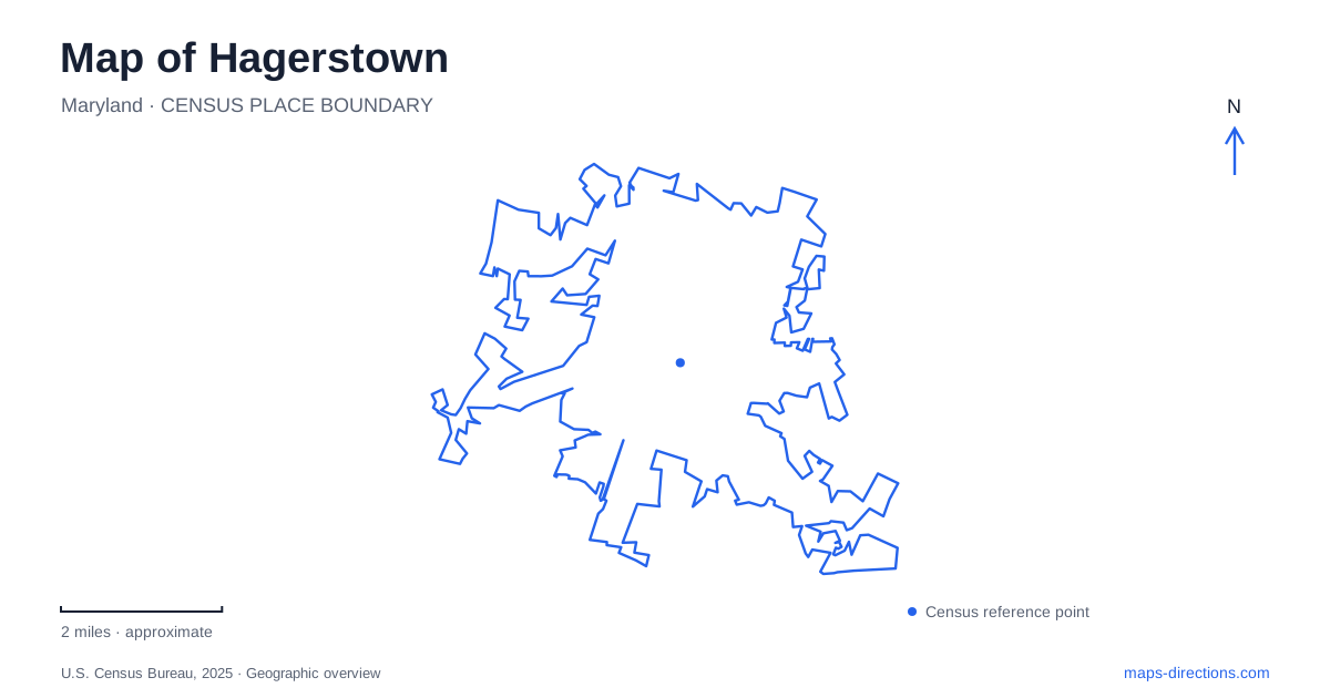
Street tiles load from OpenStreetMap when opened. The blue line shows the 2025 Census boundary.
- State
- Maryland
- Population · July 2025
- 44,228
- Land area
- 13.3 sq mi
- Water area
- 0.0 sq mi
Hagerstown's central landscape can be read as a connection between two very different public spaces: the downtown street intersection at Public Square and the lakes and wooded paths of City Park. The Cultural Trail links the commercial and arts district with the park, allowing these places to be understood as parts of one urban route. Along the way, eighteenth-century settlement, railroad history, public art, and landscaped recreation occupy distinct but related settings.
Public Square belongs to the original town plan
Jonathan Hager laid out the settlement originally called Elizabethtown in the early 1760s. Public Square formed its center and held the Market House, which combined a local market with government offices. The building also carried the Little Heiskell weathervane, a familiar symbol of the city. This early combination of trade and administration helps explain why the square remained an important reference point.
Washington and Potomac streets establish the central crossing. The surrounding blocks extend the civic and cultural story: the Miller House Museum stands at 135 West Washington Street, while the regional history collections of the public library are on South Potomac Street. Their separate locations show how historical interpretation is distributed through downtown rather than concentrated in a single museum compound.
The Miller House was built in 1825 for attorney William Price and later acquired by the Miller family. Its collections include local pottery and a historic town plat. That surviving plan is particularly relevant to a map-based visit because it places the modern streets within the much longer development of the original settlement.
A walking connection to the park
The Hagerstown Cultural Trail provides an approximately one-mile walkway between the downtown Arts and Entertainment District and City Park, including the Washington County Museum of Fine Arts. Public art, landscaping, gathering spaces, and historical interpretation make the connection an attraction in its own right.
Its role differs from that of a nature trail on the edge of town. This is an urban link between established destinations, using the experience of walking to connect buildings, open spaces, and artwork. The route gives a pedestrian visit a coherent shape: downtown performance and exhibition venues can be understood alongside the museum and park rather than as unrelated points on a driving itinerary.
Water and trees around older buildings
City Park, listed at 501 Virginia Avenue, contains artificial lakes, wooded paths, picnic facilities, and active recreation areas. Its water is a designed element of the park, not a river flowing through the downtown streets. The lakes support waterfowl and fish, but the city does not permit fishing in them.
Several cultural buildings occupy this landscape. The Washington County Museum of Fine Arts was established in 1931 by Anna Brugh Singer and William H. Singer Jr. The Mansion House Art Center adds another exhibition setting, while the nearby historic house and railroad collection address different parts of the city's past. The park consequently operates as both a recreation area and a cluster of institutions.
For Hagerstown, that combination is distinctive. A visit can move from an indoor collection to a lakeside path without leaving the larger public landscape. The buildings are not simply lined up on a museum street; trees, water, and walking routes shape the relationships between them.
The founder's house was built around water
The Jonathan Hager House at 110 Key Street dates to about 1739. Its limestone construction sits over a spring, making the water supply part of the building's original location and design. Hager purchased the surrounding tract that year and named it Hager's Fancy, well before the later town plan established Public Square.
This creates a useful distinction between two historical centers. The homestead records the founder's earlier residence, while the square belongs to the settlement he subsequently laid out. Their separation on a map of Hagerstown reflects different stages of development rather than a misplaced landmark.
The park's walking routes reinforce that history. The Founder's Trail explores the area around the house, while an arboretum route runs toward Walnut Street near the Vietnam War monument. These paths add close-scale ways to examine the landscape around the buildings.
Rail equipment preserves a regional connection
At 770 City Park Drive, the Train Hub displays railroad artifacts and Steam Engine 202. Built by Baldwin Locomotive Works in 1912, the engine carried passengers and baggage between Baltimore and Hagerstown before retirement in 1953. Its presence in the park preserves a tangible example of the regional movement that shaped the city.
The collection also includes an 1885 pump car, an 1875 velocipede used by railroad workers, and cabooses. Those smaller maintenance vehicles broaden the story beyond locomotives and passengers. Together, the equipment shows how operating a railway depended on moving workers, tools, and supplies as well as running the trains themselves.
Map and statistics: U.S. Census Bureau, 2025 Gazetteer, January 2025 generalized place boundaries and Vintage 2025 population estimates. Local references: City of Hagerstown; Washington County Museum of Fine Arts. Article prepared by Maps & Directions.