Map of Hackensack
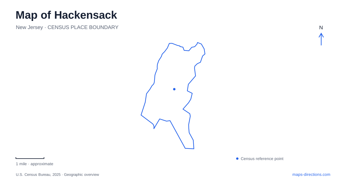
Street tiles load from OpenStreetMap when opened. The blue line shows the 2025 Census boundary.
- State
- New Jersey
- Population · July 2025
- 46,380
- Land area
- 4.2 sq mi
- Water area
- 0.2 sq mi
Hackensack has several overlapping centers of activity: Main Street's changing downtown, the county courthouse district, railway stations, and parks along the river. They belong to the same city but do not all share one arrival point. A useful map brings those relationships into view, then extends north to historic river crossings without confusing neighboring River Edge with the downtown street network.
Main Street connects old landmarks with new development
The city's redevelopment information describes Main Street's restoration to two-way traffic, accompanied by new sidewalks, trees, lighting, and street furniture. This is a material change for reading older maps or recalling an earlier drive through downtown. The street's name and buildings may be familiar while its traffic arrangement has changed.
Main Street also anchors the Bergen County Justice Center, whose main courthouse address is 10 Main Street. The concentration of civic destinations adds a practical reason for visitors to understand this part of town beyond shopping or dining. A courthouse visit, a county office appointment, and a casual downtown walk may bring people into the same area for very different purposes.
When viewing redevelopment information, distinguish an existing street change from a proposed building or public space. The municipal page contains both completed improvements and plans. A proposed development location is evidence of a project area, not proof that the illustrated building already occupies the block.
The courthouse has more than one useful map reference
The Bergen County Sheriff's Office identifies public access to the Justice Center through Court Street and Hudson Street entrances. Court Street also supplies the visitor and juror parking reference. Thus the Main Street address describes the institution, while the other street names help explain how people approach the complex.
This is a concrete case where a downtown destination has several relevant sides. Someone walking from another part of the center is reading the street network differently from someone arriving at the designated parking facility. The building's location remains the same, but the last part of the journey depends on the purpose of the visit.
The county's visitor parking instructions identify 55 Court Street. Keeping that address separate from the courthouse's Main Street address gives an itinerary greater precision without treating the parking area as a different attraction.
Rail stations are named for streets
NJ Transit identifies Anderson Street station near the intersection of Anderson Street and Linden Street, on the Pascack Valley Line. Essex Street is another station on that line. Their street-based names are more useful for selecting an arrival than a broad search for the city's railway station.
A map of Hackensack should therefore show the selected station in relation to the actual destination. The train line supplies the regional connection, while the streets determine the local part of the trip. Choosing Anderson Street because it appears first in a search would not establish that it is the most suitable stop for every downtown appointment. The named stop and the destination should be considered together.
River Street and the recreation corridor
Johnson Park is listed at 452 River Street, beside the Hackensack River. It combines playing areas with a pathway used for walking, jogging, and cycling. The city's open-space plan places East Anderson Street along the park's southern edge and River Street along its western edge, giving the green space a clear relationship to the surrounding streets.
The plan also describes a connection northward along the river toward Fairleigh Dickinson University and Bergen County Academies. This makes the park part of a longer recreational corridor, rather than simply an isolated sports field. Foschini Park occupies another riverfront setting, so the waterside landscape contains multiple destinations with different facilities.
The river path and River Street should remain distinct lines when reading the map. One is a recreation route through the waterfront setting; the other is a street serving the surrounding city. Their similar geographic association does not make them interchangeable routes for every kind of journey.
A historic crossing beyond the downtown map
Historic New Bridge Landing uses 1201 Main Street in River Edge as its visitor address. The municipality is essential: this Main Street destination is not the downtown courthouse address. The Bergen County Historical Society locates the museum site on the west bank of the Hackensack River, with an 1889 swing bridge and historic houses forming part of the setting.
The river narrows explain the site's historical importance. A bridge built here in 1745 occupied a strategic crossing where the broader marshes downstream had made bridging difficult. That geography connected overland routes with a tidal commercial waterway. The surviving historic landscape is therefore about movement and trade as well as individual old buildings.
A map of Hackensack can hold this regional history alongside its modern rail and civic functions. Main Street organizes the downtown visit, station names locate railway arrivals, and River Street leads attention toward public waterfront space. Northward, a different Main Street and an older crossing introduce another community's part of the same river story.
Map and statistics: U.S. Census Bureau, 2025 Gazetteer, January 2025 generalized place boundaries and Vintage 2025 population estimates. Local references: City of Hackensack; Bergen County Sheriff; Bergen County Prosecutor; NJ Transit; City of Hackensack Recreation; Bergen County Historical Society. Article prepared by Maps & Directions.