Map of Gulfport
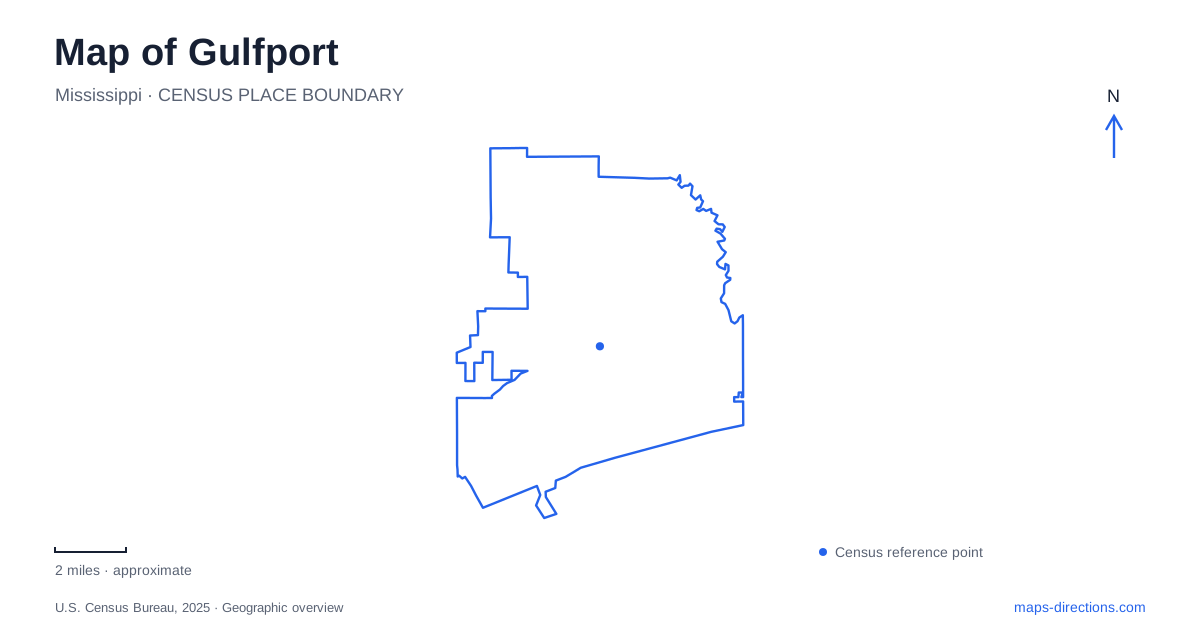
Street tiles load from OpenStreetMap when opened. The blue line shows the 2025 Census boundary.
- State
- Mississippi
- Population · July 2025
- 76,506
- Land area
- 55.6 sq mi
- Water area
- 8.4 sq mi
Gulfport's waterfront is both a working port and a place for visitors, and the distinction is central to reading its map. Railroad development and deep-water access shaped the original downtown. Today, Jones Park and the passenger ferry occupy a recreational part of that coastal setting, while the aquarium interprets aquatic environments nearby. Inland, Turkey Creek reveals a different history and landscape, associated with an African American community, wetlands, and a waterway leading toward Bayou Bernard.
The railroad and harbor as one project
The city's early growth depended on a connection between inland rail transport and coastal shipping. William Harris Hardy promoted the railroad-and-port concept, and Joseph Thomas Jones later supplied the investment that helped complete the rail line toward Jackson and develop the harbor. The town incorporated in 1898, and its harbor entered operation in 1902. Those dates mark successive steps in creating a transportation center rather than simply a seaside settlement.
The downtown historic-district record places an early nucleus along Twenty-Seventh and Twenty-Eighth avenues between the railroad right-of-way and Thirteenth Street. That relationship explains why the numbered street grid, rail corridor, and waterfront should be read together. Goods arriving from inland needed a route toward ships, and businesses developed around the movement and activity that connection generated.
This history gives Gulfport a different spatial story from a resort organized chiefly around beach hotels. Recreation is an important part of the present waterfront, but the commercial harbor remains evidence of the city's original purpose. A broad view of downtown should include that working landscape as well as the visitor destinations beside it.
Cargo access and passenger departures
The port's main cargo gate is approached from Highway 90 and Thirtieth Avenue, at 1000 Thirtieth Avenue South Extension. Port offices are listed separately in the Hancock Plaza Building on Fourteenth Street. These addresses describe different operational functions: a secure cargo entrance and an administrative destination within downtown.
The Ship Island passenger ferry instead departs from Jones Park at 1022 Twenty-Third Avenue. It is part of a visitor journey across Mississippi Sound, not an entrance to the cargo terminals. Distinguishing those functions makes a map of Gulfport more useful, especially when a broad search for the harbor returns several nearby but operationally separate places.
Ship Island lies about twelve miles offshore and is accessible only by boat. The National Park Service identifies seasonal public ferry service, beaches, and Fort Massachusetts as key parts of a visit. The island's boardwalk links its arrival side with the beach setting across the island. A mainland street route can reach the departure pier, but the rest of that itinerary belongs to a marine landscape with its own geography and seasonal operation.
Aquarium exhibits beside Beach Boulevard
Mississippi Aquarium is at 2100 East Beach Boulevard. Its campus map shows Aquatic Wonders arranged over three levels, with a touch encounter, a tunnel through the aquatic exhibit, and a large viewing window. This vertical arrangement distinguishes the experience inside from the single footprint visible on a city map.
The Changing Tides exhibit adds another set of environments, organized around kelp forest, rainforest, and coral reef themes. These displays allow a visit to move beyond the immediate coastal setting into comparisons among aquatic and terrestrial habitats. The aquarium's location beside the waterfront makes those comparisons particularly relevant: visitors can encounter interpreted environments indoors while the sound and working harbor remain part of the surrounding urban scene.
For an outing in Gulfport, the aquarium, Jones Park, and ferry pier form a coastal sequence with different activities. An exhibit visit, a waterfront gathering, and a boat departure require different amounts and kinds of movement even though they share the same general shoreline district.
Turkey Creek's inland story
Turkey Creek begins in rural Harrison County and flows toward Bayou Bernard north of the international airport. The state heritage area's blueway description identifies wet pine savanna and marsh along the water corridor. This is a quieter inland landscape than the developed beachfront, shaped by a creek and its surrounding habitats rather than a harbor basin.
The associated community was established in 1866 by formerly enslaved African Americans. Audubon's account of its conservation partnership connects protection of bird habitat with efforts to preserve the community's cultural and environmental resources. The creek's importance therefore extends beyond scenery: it is part of a lived landscape with a history predating the incorporated port city.
Reading the coastline and Turkey Creek together gives Gulfport a fuller geography. The numbered downtown streets record rail-and-port development, the ferry points toward the barrier islands, and the inland waterway connects neighborhood history with wetland conservation. Each belongs on the map for a different reason, and together they explain the city's relationship with water.
Map and statistics: U.S. Census Bureau, 2025 Gazetteer, January 2025 generalized place boundaries and Vintage 2025 population estimates. Local references: Amtrak Great American Stations; Mississippi Department of Archives and History; Mississippi State Port Authority; National Park Service; Mississippi Aquarium; Mississippi Gulf Coast National Heritage Area; National Audubon Society. Article prepared by Maps & Directions.