Map of Grove City
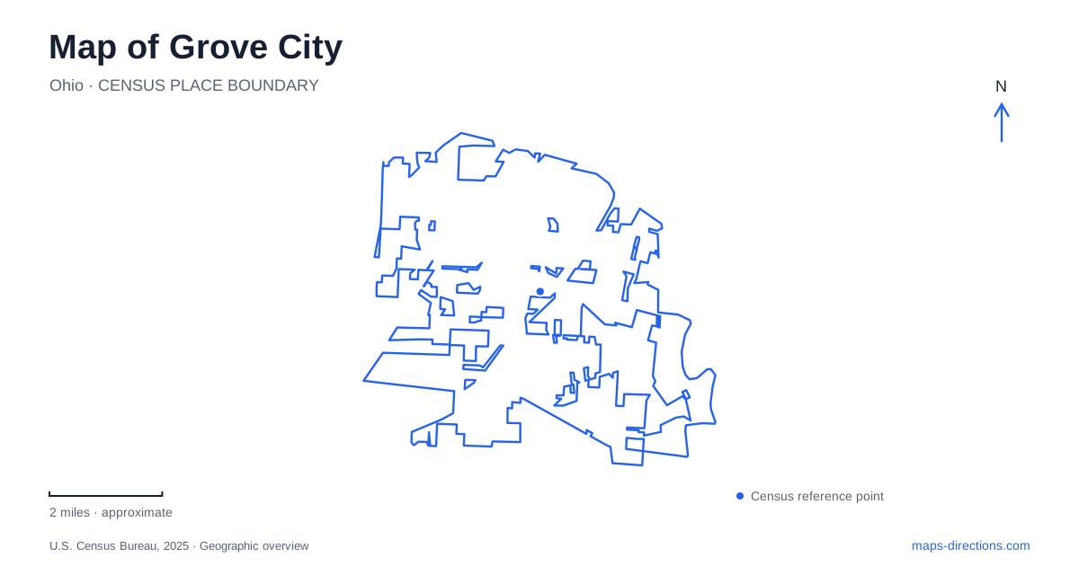
Street tiles load from OpenStreetMap when opened. The blue line shows the 2025 Census boundary.
- State
- Ohio
- Population · July 2025
- 45,180
- Land area
- 18.9 sq mi
- Water area
- 0.2 sq mi
Grove City can be explored through three different kinds of landscape: the commercial buildings along Broadway, parks that preserve or interpret local history, and the Scioto River corridor. Each tells something about how the area developed. Broadway retains evidence of earlier transportation and business activity. Gantz Park connects a farmhouse setting with horticultural education. Fryer Park gathers historic structures, while Scioto Grove Metro Park follows the river's bends and bluffs. Their different locations and purposes give a city map more substance than a list of recreation symbols.
Broadway's transportation history survives in buildings
The municipal History Hike identifies 4002 Broadway as a former interurban railway office. The office building dates to 1927, but the local story of electric rail service began earlier: council authorized the railway to operate within village limits in 1898. The line carried people toward Columbus and helped farmers move perishable products to market. Car barns were located near Park Street.
For Grove City, that history makes Broadway more than a shopping address. It was part of a transportation system connecting local households and farms to a larger urban economy. The surviving office offers a fixed reference for a network whose vehicles have disappeared. Looking at it alongside Park Street helps place administration and operating facilities within the town's earlier geography.
Another stop, the O.G. Grossman Building at 4038–4050 Broadway, dates to 1919 and housed a bakery in the following decade. These buildings provide concrete examples of how the street mixed transportation services with everyday commerce. Their later uses belong to a continuing commercial landscape, rather than an entirely reconstructed historical setting.
Gardens organized around time and use
Gantz Park is at 2255 Home Road. The 27-acre park includes a historic farmhouse, an arboretum, gardens, recreation facilities, and paths. The garden complex is organized around Yesterday, Today, and Tomorrow, giving visitors a sequence based on changing approaches to horticulture.
The Garden of Today uses themed plantings, including culinary, fragrance, dye, and taxonomic areas. The taxonomic grouping brings plants from the same botanical family together, while the other sections emphasize how people use them. The Garden of Tomorrow instead considers plants as elements in a designed landscape, including ground cover and focal points.
This makes a Gantz visit in Grove City different from simply walking through ornamental beds. The layout itself conveys an argument about how gardens can be arranged: by historical style, practical purpose, botanical relationship, or visual function. A small garden plan is useful here because the meaning of a planting changes from one themed area to the next. The farmhouse supplies the historical setting while the garden organization invites closer observation.
A village assembled within Fryer Park
Fryer Park, at 3899 Orders Road, contains Century Village. The city's parks plan describes it as a recreated historic area with houses, shops, barns, a train station, and a one-room schoolhouse. The schoolhouse is original to the site, an important distinction within a collection assembled to interpret earlier community life.
Century Village gives Grove City a place to examine historic building types together. That arrangement should not be mistaken for the original downtown street plan. Its value lies in bringing structures and activities into an interpretable group, while the Broadway buildings remain part of the commercial corridor described above. The two settings therefore reveal history in different ways.
Fryer also contains Rotary Lake and a path around the water, alongside sports facilities and playgrounds. The historical village is one component of a multipurpose park. An outing can combine interpretation and outdoor recreation without assuming that the village buildings are open whenever the park grounds are accessible.
Jackson Pike leads to the river landscape
Scioto Grove Metro Park uses 5172 Jackson Pike as its main address. Opened in 2016, it occupies a bend in the Scioto River and includes mature woods and bluffs. The river shapes the park's paths: the REI River Trail follows the water, while the Mingo Trail loops through the southern section. A separate paved multipurpose trail crosses fields and prairie areas and accommodates bicycles.
The distinction between these routes matters more than choosing whichever line looks shortest. A riverbank walk and a paved cycling route offer different surfaces and experiences. The north canoe access has its own Jackson Pike address, while the south access is on Hibbs Road. For a Grove City visit centered on the river, select the activity and access point together. This keeps the broad park name connected to the particular part of the landscape you intend to use.
Map and statistics: U.S. Census Bureau, 2025 Gazetteer, January 2025 generalized place boundaries and Vintage 2025 population estimates. Local references: City of Grove City; Columbus and Franklin County Metro Parks. Article prepared by Maps & Directions.