Map of Gresham
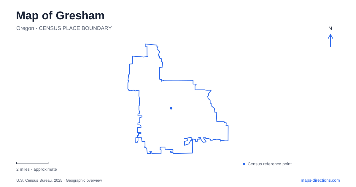
Street tiles load from OpenStreetMap when opened. The blue line shows the 2025 Census boundary.
- State
- Oregon
- Population · July 2025
- 111,513
- Land area
- 23.6 sq mi
- Water area
- 0.1 sq mi
Gresham has three commercial centers that are useful to distinguish on a map: historic Downtown, the Civic Neighborhood, and Rockwood. They share transport connections but have different street patterns and roles. South of the urban centers, creek corridors and volcanic buttes introduce another landscape. Reading the centers alongside the MAX line and the Springwater Trail gives a practical framework for moving between shops, public services, neighborhood destinations, and outdoor spaces.
Historic Downtown and the Civic Neighborhood
Historic Downtown is organized around Main Avenue and its locally owned businesses. The city's description emphasizes broad sidewalks, street trees, public events, and connections to parks and transit. This is the older commercial setting to identify when planning a visit around downtown shops or a community gathering.
The Civic Neighborhood has a different concentration of uses, including a regional shopping center, offices, housing, City Hall, and public safety facilities. City Hall's address is 1333 NW Eastman Parkway. Although downtown and the civic area are linked in planning and transport, they are not simply two names for the same block of businesses.
For a map of Gresham, this distinction prevents a common scale problem: the label for the city center can conceal several separate destinations. Main Avenue helps locate the historic shopping streets, while Eastman Parkway provides a civic reference. The light-rail corridor and nearby paths help connect these parts of the city without erasing their individual identities.
Rockwood's market and crossroads setting
Central Rockwood focuses on the triangle formed by Southeast 181st Avenue, East Burnside Street, and Southeast Stark Street. The city's comprehensive plan describes much of its development as postwar, with subdivisions, commercial strips, and major roads replacing the earlier rural crossroads landscape. That history helps explain its different appearance from the older Main Avenue district.
Downtown Rockwood occupies the former Fred Meyer property at 18611 SE Stark Street. The redevelopment combines a market hall, small retail spaces, housing, services, and a community plaza. The market hall opens toward the plaza, where seating, a splash pad, and play areas give the development a shared outdoor center.
The result is a contemporary gathering place within an area shaped by larger roads and suburban growth. It belongs on a Gresham itinerary as its own destination, rather than as an extension of the historic downtown shopping streets. The Stark Street address also helps distinguish the redevelopment site from the wider Rockwood neighborhood, which extends beyond the plaza and market buildings.
Rail and trail connections across the city
The central transit center is at 350 NE 8th Street, at 8th and Kelly. TriMet lists MAX Blue Line service together with bus connections and bicycle facilities there. Cleveland Avenue is another station on the eastern end of the light-rail corridor. These station names are useful anchors when comparing a public-transport trip with an address in the surrounding street network.
Wy'East Way runs beside the MAX line between Ruby Junction and Cleveland Avenue. The city describes it as a paved walking and cycling route with separated space alongside the tracks. It supplies a continuous transport reference through several urban areas, whereas the Springwater Trail follows a different corridor farther south.
Springwater extends between Boring and Portland, passing local access points at Linnemann Station, Main City Park, and Hogan Road. Main City Park is at 219 South Main Avenue, making it a useful connection between the downtown street setting and the regional trail. Linnemann Station uses 3804 West Powell Loop, while the Hogan Road trailhead is at 2123 SE Hogan Road. These addresses allow a visitor to choose a starting point suited to the intended section of trail.
Hogan Butte's newer park name
Shane T. Bemis Nature Park, formerly called Hogan Butte Nature Park, occupies the top of Hogan Butte at 757 SE Gabbert Road. Both names may appear in descriptions of the same destination. The park covers 46 acres and reaches a viewpoint elevation of about 930 feet, creating a substantial change from the lower urban and creek corridors.
A half-mile paved interpretive loop leads through the setting, with a viewpoint oriented toward Mount Hood, Mount St. Helens, Mount Adams, Mount Rainier, and the Columbia River Gorge. Actual visibility depends on conditions, but the named landmarks explain the panorama the park is designed to interpret. Educational signs are available in Russian and Spanish, and the park includes accessible parking and picnic facilities.
The butte adds a vertical dimension to a Gresham map. Downtown streets, Rockwood's market plaza, the rail-side path, and the Springwater corridor describe movement across the city; the Gabbert Road approach climbs to a place from which that wider setting can be understood. Together they reveal Gresham as several connected centers within a landscape of waterways, transport corridors, and elevated viewpoints.
Map and statistics: U.S. Census Bureau, 2025 Gazetteer, January 2025 generalized place boundaries and Vintage 2025 population estimates. Local references: City of Gresham; TriMet. Article prepared by Maps & Directions.