Map of Greer
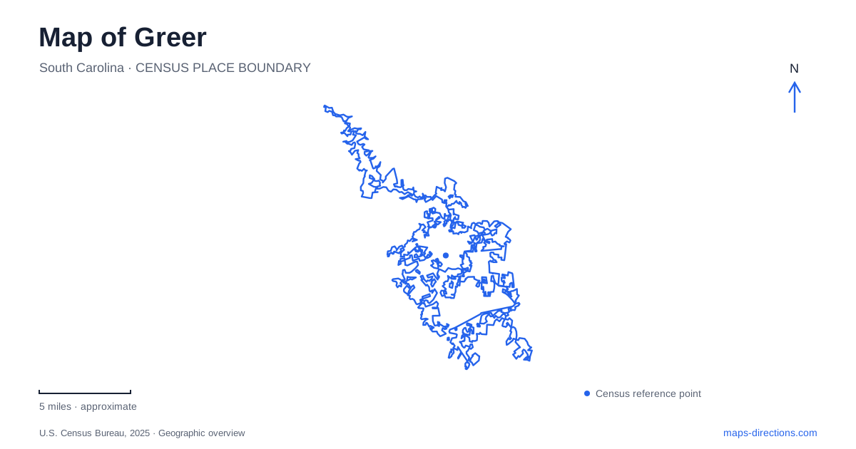
Street tiles load from OpenStreetMap when opened. The blue line shows the 2025 Census boundary.
- State
- South Carolina
- Population · July 2025
- 50,007
- Land area
- 24.5 sq mi
- Water area
- 2.1 sq mi
Greer can be read through two very different systems: the downtown streets shaped by commerce and rail travel, and the reservoirs that supply drinking water while supporting recreation. Trade Street, Poinsett Street, Randall Street, and Depot Street organize a compact central area. Lake Robinson and Lake Cunningham belong to a wider landscape outside that core. Keeping the old transport center and the water-supply landscape in view gives a visitor a useful framework for understanding both the town's history and its present destinations.
Trade Street as a record of changing businesses
The downtown district is promoted as Greer Station, a name that preserves the importance of the railway. Trade Street is one of its principal historical anchors. The walking-tour material identifies the former Planters Savings Bank at 101 Trade Street, designed for the corner with what was Hill Street and is now East Poinsett. Street-name changes are part of the story, so an old photograph or address can describe a familiar place in unfamiliar terms.
Farther along Trade, the building at 215 originated as a hardware store between 1913 and 1915. The tour records its association with farm implements and wagons, a reminder of the agricultural customers served by downtown businesses. This commercial geography was closely tied to the surrounding region: stores supplied equipment, accepted deliveries, and operated within reach of the railway. The buildings offer evidence of that relationship even when their current occupants serve different needs.
A surviving depot and a vanished neighbor
The Piedmont & Northern Railway added an electric interurban connection in 1913, linking the area with Spartanburg, Greenville, and Anderson. Passenger service ended in 1951. The historic walking tour distinguishes its surviving depot from the Southern depot that once stood across the tracks and no longer exists. This is an important distinction when interpreting railway references on an older map.
Randall and Depot streets remain useful anchors for the surviving building's surroundings. Public concerts have used their intersection, illustrating how the former transport district also functions as a gathering place. The depot is a historical building within the present downtown, rather than evidence that its old passenger service still operates. Its relationship with nearby commercial blocks helps explain the district's station identity.
The post office became a museum
The Greer Heritage Museum is at 106 South Main Street in the former 1935 post office. Its own history traces several earlier museum locations on Trade Street before the move to this permanent home. The building itself had already changed purpose: state historical documentation records postal use until 1964 and service as City Hall from 1968 to 2008.
The restrained Colonial Revival design was created by Donald G. Anderson under the federal Treasury Department's architectural program. That makes it a useful counterpart to the railway depot. One served transport and freight connections, while the other provided a federal civic presence before becoming a municipal building and eventually a place for preserving local history. The museum's side ramp provides an accessible approach, and nearby city lots serve visitors because the museum has no dedicated parking lot.
Poinsett Street and the present civic center
City Hall's current address is 301 East Poinsett Street. The city's downtown shuttle connects that civic destination with several commercial-area pickup points, including the Jason Street garage, Depot Street lots, and Trade at Victoria. Those locations help reveal the shape of the center: civic space, shopping blocks, and the railway area are closely related, but they are not all on one street.
For a map of Greer, Poinsett and Trade provide useful cross-references, while Randall and Depot bring the railway history into focus. This street-based approach makes it easier to combine a museum visit with an examination of older storefronts and civic spaces. The shuttle's actual operating hours should be treated as a service detail rather than assumed from its route alone.
Two reservoirs with different approaches
Lake Robinson is northwest of the city, with its public recreation address at 2544 Mays Bridge Road. It is fed by the South Tyger River and was created as a drinking-water impoundment. The utility lists a boat ramp, fishing piers, and rentable gathering areas. Lake Cunningham, reached at 2844 North McElhaney Road, is the smaller reservoir, and the water-treatment plant stands beside it.
Both lakes combine recreation with a public-water function. Their shoreline rules are intended to protect water quality and the utility-owned buffer, so these are managed reservoirs rather than unrestricted waterfront parks. This wider landscape adds a different dimension to Greer: downtown illustrates the movement of people, goods, and civic institutions, while the lakes show the infrastructure supporting everyday life. Choosing the reservoir and its road approach first makes a lake outing distinct from an exploration of the historic center.
Map and statistics: U.S. Census Bureau, 2025 Gazetteer, January 2025 generalized place boundaries and Vintage 2025 population estimates. Local references: Greer Station Association; City of Greer; Greer Heritage Museum; South Carolina Department of Archives and History; Greer Commission of Public Works. Article prepared by Maps & Directions.