Map of Greenwood
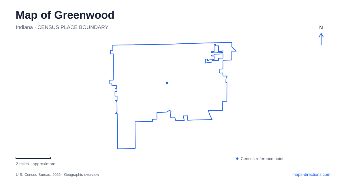
Street tiles load from OpenStreetMap when opened. The blue line shows the 2025 Census boundary.
- State
- Indiana
- Population · July 2025
- 69,349
- Land area
- 28.8 sq mi
- Water area
- 0.0 sq mi
Greenwood sits in northern Johnson County against the Indianapolis metropolitan area, but its older center has a distinct geography of its own. Madison Avenue, Main Street, Meridian Street, and Pleasant Creek organize a compact civic and recreational landscape. Interstate 65, US 31, and State Road 135 serve broader journeys through the area. Separating those regional corridors from Old Town's smaller network is a useful first step toward understanding the city.
Madison Avenue preserves an early route
The city's official historical account traces the settlement to the Smock brothers in 1823 and identifies Madison Road as an 1824 federal road. A plaque along today's Madison Avenue marks the community's first church, established in 1825. These details explain why the avenue belongs to the town's foundational geography rather than being merely another suburban commercial street.
The early settlement was called Smocktown, and its post office subsequently used Greenfield before the present name was adopted in 1833 because another Indiana community already used that name. Town government followed in 1864. The sequence distinguishes settlement, postal naming, and incorporation, which are often collapsed into one founding date. Greenwood's current street map sits over that longer development process, with the old road and creek continuing to supply recognizable reference points.
Pleasant Creek links the public spaces
Old City Park follows Pleasant Creek between Meridian Street and Madison Avenue. The city's 2024 resilience report describes it as a connection between Craig Park, the City Center building, and the public library. This makes the creek corridor part of the civic layout as well as a recreational feature. A walk here can connect destinations that might appear isolated when a map emphasizes only roads and parking areas.
The same report describes Westside Park as a wooded setting where paths follow the creek, and explains that parkland also contributes to flood mitigation. The creek's open corridor consequently has practical environmental functions beneath its recreational appearance. These are public landscapes shaped partly by water movement, not just leftover spaces between development. For Greenwood, that relationship is especially useful when reading the narrow green areas that connect larger park properties.
A trail extension changed the downtown network
The city reported completion of the Pleasant Creek Trail extension in 2017, connecting Old City Park with the amphitheater, community center, and Craig Park. This gives the central network a documented physical relationship. A trail line along the water can represent a useful connection between civic facilities rather than a circular exercise route that simply returns to its starting point.
That distinction supports a more coherent local outing. Someone interested in the older center can consider a sequence of public spaces instead of driving between every nearby destination. The map still needs individual street crossings and paths, but its organizing idea becomes the creek connection. Historical streets and newer pedestrian improvements are working together here: the former explain the center's position, while the latter make its public places easier to experience as a group.
The former school gym became a fieldhouse
At 411 South Madison Avenue, the fieldhouse gives the redevelopment story a specific surviving building. The city preserved and repurposed the former middle-school gymnasium for public recreation. The visitor bureau identifies indoor turf fields, hardwood courts, an elevated walking track, and golf simulators among its facilities. That is a different recreation setting from the outdoor creek paths, even though both belong to the wider downtown area.
The address also helps place the project in relation to neighboring institutions. A municipal planning record locates the public library north of the property and existing residential and commercial uses to the west. The reused gym thus participates in an established neighborhood rather than forming a remote sports campus. Greenwood's fieldhouse is a concrete example of retaining part of an educational site while changing the activities it supports.
Outdoor recreation beyond the central creek
Freedom Park introduces another park landscape, including the Freedom Springs aquatic complex, sports fields, and a walking trail. The municipal resilience report also identifies a two-acre stormwater retention pond. Water is therefore present in two very different ways: designed swimming facilities serve recreation, while the pond helps manage runoff. The shared park setting should not obscure those separate functions.
The aquatic complex's West Stop 18 Road address places it outside the compact Old Town cluster. This is useful when a family plans both an indoor fieldhouse activity and an outdoor park visit: the facilities belong to different parts of the local map. Together, the Madison Avenue history, Pleasant Creek connections, reused gym, and larger park landscapes give Greenwood a clear local structure within the broader Indianapolis region. The highways explain regional access; the older road, creek, and civic sites explain the community itself.
Map and statistics: U.S. Census Bureau, 2025 Gazetteer, January 2025 generalized place boundaries and Vintage 2025 population estimates. Local references: City of Greenwood official code publication; City of Greenwood; Visit Indy. Article prepared by Maps & Directions.