Map of Green Bay
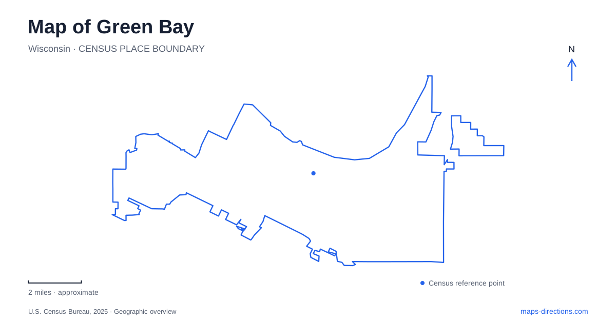
Street tiles load from OpenStreetMap when opened. The blue line shows the 2025 Census boundary.
- State
- Wisconsin
- Population · July 2025
- 106,675
- Land area
- 45.5 sq mi
- Water area
- 10.3 sq mi
Green Bay makes more sense when its riverfront, wildlife landscape, and football district are treated as separate parts of the map. The Fox River provides the strongest downtown reference, with named bridges turning the waterway into a sequence of recognizable crossings. Farther away, the lagoons beside East Shore Drive have a history of deliberate habitat construction. Around Lambeau Field, street names familiar from ordinary driving take on different roles during games. These three settings reward different scales of attention: downtown blocks, sanctuary paths, and an event district extending beyond the stadium walls.
A downtown framed by two rivers
The city's description of its Downtown District places it between Main and Mason streets and between the Fox and East rivers. That definition is especially helpful because it gives downtown both street boundaries and water boundaries. The Fox and East rivers are separate features; seeing a riverside destination on a small screen does not immediately establish which corridor it occupies.
For a first reading of Green Bay, locate Main Street and Walnut Street across the Fox. Between those bridges, the CityDeck follows the east bank for roughly a quarter mile. Its terraces step toward the water, so the promenade is more than a thin sidewalk beside a road. The river edge becomes a sequence of places to pause, with the bridge approaches marking the ends of this particularly recognizable downtown stretch.
A bridge-to-bridge walk therefore provides a coherent riverfront outing without requiring the entire downtown district to fit into one itinerary. Main and Mason establish the larger district, while Main and Walnut establish the shorter CityDeck segment. Keeping those two pairs distinct helps explain why a business can be downtown yet well beyond the promenade.
Museum collections and the older commercial city
The Neville Public Museum stands at 210 Museum Place. Its collections give the surrounding urban landscape a longer timeline than a list of present-day attractions would provide. The museum's Generations Gallery addresses the arrival of Europeans at the Fox River's mouth and the subsequent transformation of northeastern Wisconsin. Papermaking and cheese processing appear among the industries interpreted there.
Green Bay also has an unusually direct connection between a museum and a former library exhibition. In 1915, a local art club presented work in the children's room of the Kellogg Public Library at 125 South Jefferson Street. That exhibition helped lead to a permanent museum in 1917. The present museum address and the earlier library address thus represent different stages of the institution's history.
This is useful context for exploring older civic streets: a cultural institution can retain a continuous identity while moving across the urban map. Museum Place identifies the visit today; South Jefferson belongs to the account of how the collection began. Together, they describe a city whose cultural geography has changed alongside its commercial and industrial life.
Lagoons with a human-made history
Bay Beach Wildlife Sanctuary, at 1660 East Shore Drive, occupies 535 acres. It combines wildlife rehabilitation, educational displays, and trails. Its beginnings were quite different from its eventual purpose: the city bought 250 acres beside the amusement park in 1929 with a golf course in mind.
The sanctuary story is a distinctive part of Green Bay geography. In the 1930s, a proposal for a wildlife refuge replaced that earlier recreational idea. Aldo Leopold advised the organizers. An initial pond was dug for injured waterfowl, followed by Depression-era work that created a much larger lagoon system with islands and plantings.
The ponds consequently deserve to be read as a designed habitat landscape. Their shapes record conservation work as well as water and terrain. The sanctuary and neighboring amusement grounds also illustrate two different uses of the same broader recreation area: one organized around wildlife and paths, the other around amusement rides. East Shore Drive provides the practical street reference for the sanctuary itself.
Football changes the surrounding streets
Lambeau Field's Atrium address is 1265 Lombardi Avenue. Around that destination, Lombardi, Oneida Street, Ridge Road, and Mike McCarthy Way form the vocabulary needed to understand the stadium's surroundings. The team's game-day guidance describes closures on portions of Oneida and Lombardi and special outbound arrangements after games.
For Green Bay visitors, that means a football-day street map should be read alongside the event traffic plan. Mike McCarthy Way can serve eastbound departures toward Ashland Avenue, while designated portions of Oneida and Ridge carry northbound departures. These arrangements explain why the return journey can differ from the arrival even when the same parking area is used. Downtown's river bridges, the sanctuary's lagoon paths, and the stadium's managed approaches each reveal a different organizing principle within the same city.
Map and statistics: U.S. Census Bureau, 2025 Gazetteer, January 2025 generalized place boundaries and Vintage 2025 population estimates. Local references: City of Green Bay; Downtown Green Bay Inc.; Neville Public Museum; Green Bay Packers. Article prepared by Maps & Directions.