Map of Greeley
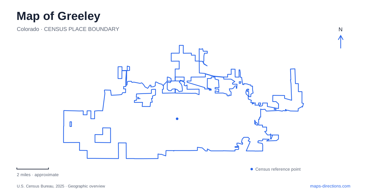
Street tiles load from OpenStreetMap when opened. The blue line shows the 2025 Census boundary.
- State
- Colorado
- Population · July 2025
- 115,073
- Land area
- 50.6 sq mi
- Water area
- 0.4 sq mi
Greeley's map connects several versions of life on the northern Colorado plains. Downtown museums interpret settlement, publishing, agriculture, and water use. The University of Northern Colorado forms a substantial educational district farther south, while Island Grove and the Poudre River corridor organize destinations to the north. Numbered streets and avenues provide a consistent framework, but the institutions and waterways explain why particular places matter. A useful visit can move from the historical center to either the campus or the river without treating them as one continuous attraction district.
The newspaper building and the founder's house
At 714 8th Street, the history museum occupies a building constructed in 1929 for the local Tribune newspaper. Printing exhibits include equipment and photographs that connect the building's former use with its present role. The larger historical interpretation considers the Union Colony, agricultural development, and the use of water on the plains. The museum's address therefore offers both an indoor destination and a surviving piece of the city's communications history.
The Meeker Home at 1324 9th Avenue presents an earlier period at a domestic scale. Built in 1870 for Nathan Cook Meeker, the adobe house combines a vernacular Italianate form with a two-story main section and a smaller kitchen addition. The city acquired it and opened its first museum there in 1929. That same year links two very different buildings: one beginning life as a newspaper plant, the other beginning a new role as a preserved home.
For Greeley visitors, comparing the two sites creates a historical route with a clear theme. One building represents the household of a town founder; the other housed an institution that recorded community life. Their street and avenue addresses also introduce the numbered grid in a practical way, with 8th Street and 9th Avenue functioning as different axes rather than nearly identical destination names.
Centennial Village preserves buildings in a park setting
Centennial Village Museum is at 1475 A Street, near Island Grove Regional Park's southern entrance. Opened in 1976, the eight-acre living-history site contains thirty-five historic buildings. Its arrangement supports a broader interpretation of Weld County and the high plains than a single preserved house can provide. The outdoor setting also changes the pace of a visit, with buildings and landscaped spaces forming the exhibition environment.
Hanna Square contains an 1885 gazebo that originally covered the first artesian well in downtown Lincoln Park. It moved to the museum in 1976. This is a particularly useful detail when reading old and new maps: a surviving structure can carry the history of one place while standing in another. The gazebo's present location preserves a connection to downtown water history within the village's larger collection.
A Greeley itinerary can pair Centennial Village with Island Grove, but the museum has its own seasonal arrangements and defined site. The A Street address identifies the historical attraction at the park's southern side. Trail access farther into the park belongs to another part of the landscape and supports a different kind of outing.
Two campus areas meet around 20th Street
The University of Northern Colorado describes its campus in two principal parts. Central Campus includes the area north of 20th Street and west of 8th Avenue. West Campus lies south of 20th Street and west of 10th Avenue. These boundaries make 20th Street a useful dividing reference when comparing university destinations.
Central Campus includes historic residence halls and programs in performing and visual arts, business, and the natural and health sciences. West Campus includes education, humanities, social sciences, and other academic facilities. The distinction helps explain why a university visit can involve movement between different architectural settings and blocks rather than a single building cluster. In Greeley, the campus map adds a second level of organization to the numbered street grid: the street establishes location, while the campus area establishes context.
River access follows several northern approaches
The Poudre River Trail can be reached through Island Grove near 14th Avenue and D Street. Other access points include Poudre Ponds north of F Street on 35th Avenue, Rover Run Dog Park on F Street, and the Poudre Learning Center near F Street and 83rd Avenue. These points spread access along the river corridor rather than concentrating every visit at one trailhead.
Sheep Draw Trail connects from the western neighborhoods, passing the Family FunPlex at Two Rivers Community Park and continuing to the river trail. The junction lies just east of 59th Avenue and north of F Street, with underpasses at 10th and 4th streets along the Sheep Draw route. This gives Greeley a useful inland-to-river connection. An outing can follow the tributary corridor toward the Poudre, revealing a landscape structure that the rectangular street pattern alone does not show.
Map and statistics: U.S. Census Bureau, 2025 Gazetteer, January 2025 generalized place boundaries and Vintage 2025 population estimates. Local references: City of Greeley; University of Northern Colorado; Poudre River Trail Corridor. Article prepared by Maps & Directions.