Map of Great Falls
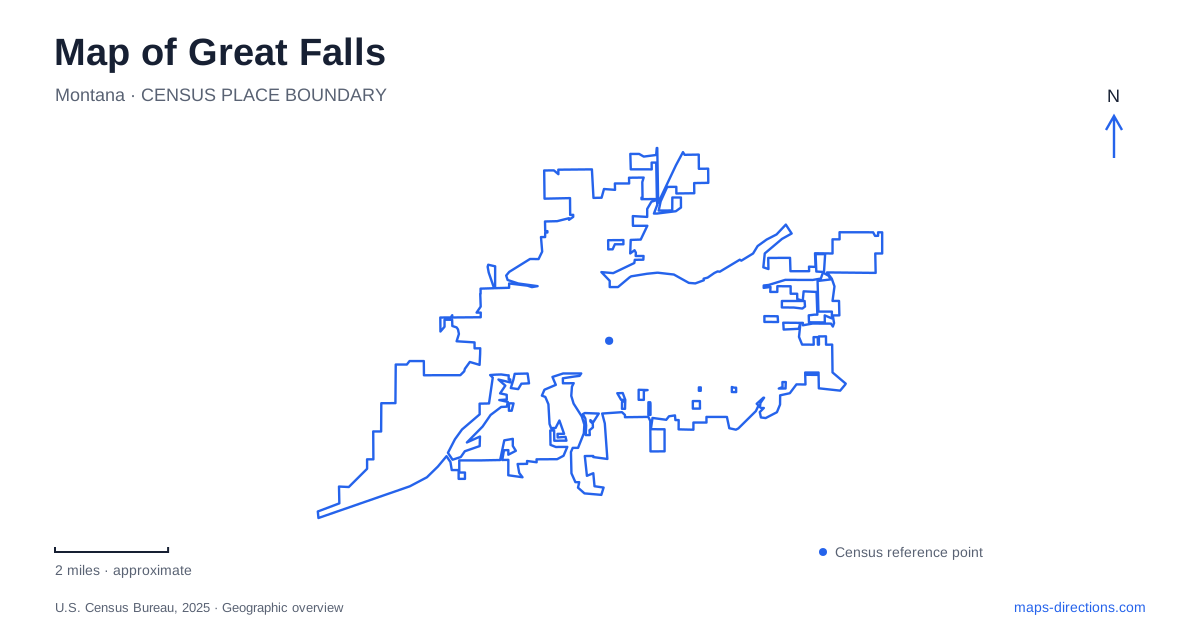
Street tiles load from OpenStreetMap when opened. The blue line shows the 2025 Census boundary.
- State
- Montana
- Population · July 2025
- 60,208
- Land area
- 23.2 sq mi
- Water area
- 0.5 sq mi
Great Falls is a city whose most useful geographic reference is the Missouri River. Parks and trails line both banks, while the river's changing character links urban recreation spaces with springs, islands, and overlooks. Gibson Park introduces the downtown side of that landscape; Giant Springs Road leads toward a different cluster of natural and historical destinations. A map becomes much easier to understand when these places are arranged along the river rather than treated as unrelated attractions scattered across town.
Gibson Park and the downtown-side landscape
Gibson Park is on Park Drive North and includes a pond, flower gardens, bandshell, paths, and public art. The bandshell occupies a central position within the grounds, while the flower gardens lie along the Park Drive side. These smaller landmarks make the park understandable at walking scale, beyond the single green shape shown on a city overview.
The park's paths connect with the River's Edge Trail. That relationship gives Great Falls a useful transition between a landscaped municipal park and the longer river corridor. A short outing can remain around the pond and gardens, while a broader journey can follow the trail toward other waterfront destinations. The two experiences share a starting area but have different geographic extents.
The historic Vinegar Jones Cabin and the statues within the park add another layer to the grounds. They are individual features within a recreational landscape, not a separate historic district reached by leaving the park. For a meeting or a focused visit, the bandshell, pond, or gardens provide clearer local references than the park name alone.
Read both banks, not only one path
The River's Edge Trail links parks on both sides of the Missouri. The city's description includes West Bank Park, Broadwater Bay, Black Eagle Memorial Island, and other river destinations. It also identifies a restored Milwaukee Railroad bridge used as a crossing. This creates a network that can be understood through banks and bridges rather than as one continuous sidewalk on a single side.
West Bank Park sits north of the Central Avenue bridge on the western bank. Broadwater Bay is on River Drive South and includes a motorboat launch. Oddfellows Park lies along River Drive between the bay and Warden Bridge. Those named relationships supply a concrete sequence within the larger waterfront map.
For someone exploring Great Falls, the important choice is often which part of the river network to follow. A park on the west bank, a launch on River Drive, and an island reached by a bridge describe different local settings. Keeping the crossings visible makes their relationship much clearer than measuring only the distance between destination labels across the water.
Black Eagle and the working river
Black Eagle Memorial Island introduces a different part of the Missouri landscape. The city's trail information describes access across a historic truss bridge and a setting near Black Eagle Falls and hydroelectric equipment. Here recreation exists beside evidence of the river's industrial use, rather than in a landscape defined solely by lawns and picnic spaces.
This is a useful reminder that the river corridor has several identities. It is a natural feature, a recreation route, and a source of power. A map that shows falls, islands, bridges, and parks together explains those relationships better than one that highlights only visitor facilities. The names mark different physical elements of the same waterway.
The local trail system gives access to that varied landscape, but individual destinations retain their own character. The island should be understood through its bridge and falls setting; Gibson through its pond and gardens; Broadwater through its river launch. These distinctions give an outing a geographic structure without requiring every stop to be the same kind of attraction.
Giant Springs Road and the interpretive landscape
Giant Springs is a freshwater spring beside the Missouri and the source of the short Roe River. The state-park setting includes a trout hatchery and access to riverside trails. The National Park Service also documents the spring's association with the Lewis and Clark expedition, connecting a visible natural feature with a much wider historic journey.
Nearby, the Lewis and Clark Interpretive Center stands on Giant Springs Road overlooking the river. Its grounds have their own trail network, including riverside and bluff paths and a hiking connection toward the state park. The Forest Service map shows these relationships clearly, distinguishing the center building from the surrounding outdoor routes.
Great Falls is therefore more than a downtown riverfront with a distant museum added to an itinerary. The springs and interpretive center belong to the same larger Missouri landscape as the urban parks, while revealing a different part of its natural and human history. A broad Great Falls map should keep Giant Springs Road, the principal river crossings, and the downtown park network in view together. Those features explain how the city's varied destinations fit along one remarkable river corridor.
Map and statistics: U.S. Census Bureau, 2025 Gazetteer, January 2025 generalized place boundaries and Vintage 2025 population estimates. Local references: City of Great Falls; National Park Service; Lewis and Clark Foundation; US Forest Service. Article prepared by Maps & Directions.