Map of Grapevine
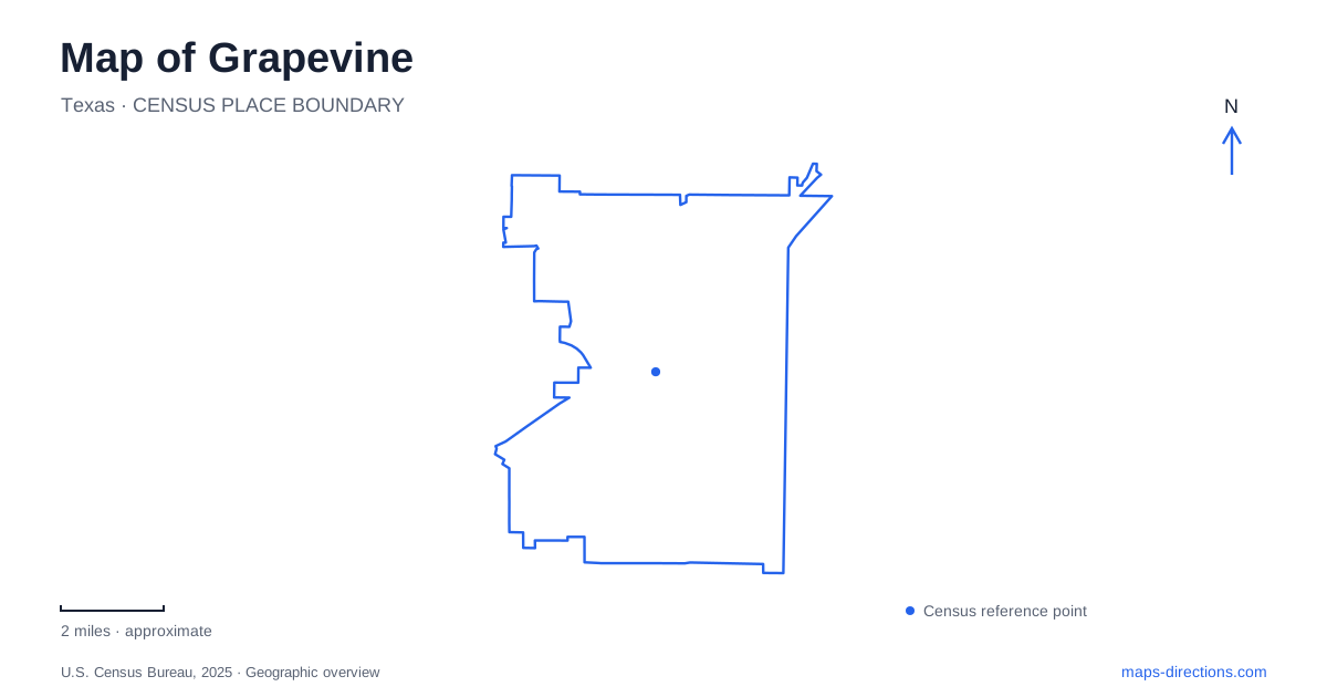
Street tiles load from OpenStreetMap when opened. The blue line shows the 2025 Census boundary.
- State
- Texas
- Population · July 2025
- 50,714
- Land area
- 32.2 sq mi
- Water area
- 3.7 sq mi
Grapevine brings a historic commercial street, working passenger railway, preserved farmstead, and large reservoir into the same local map. South Main Street is the most useful starting reference for the town center. Dallas Road marks the rail district, while Ball Street leads to Nash Farm. The lake parks spread across a much broader shoreline, so the geography of a downtown visit differs substantially from an afternoon beside the water.
Main Street's railway anchor
The Cotton Belt Depot stands at 705 South Main Street, just north of Dallas Road. Rail service arrived in 1888, connecting the agricultural community with a wider transportation network. The depot survived closure and relocation before returning to Historic Main Street. Its continued role in excursion travel allows the railway story to remain visible as an activity rather than only a historical marker.
Boarding for the vintage railroad takes place on the east side of Main Street. The Cotton Belt excursion runs toward the Fort Worth Stockyards, while other advertised trips follow different itineraries. The destination is part of the experience: an excursion ticket should be chosen for its actual route, not simply because a train appears at the depot.
B&D Mills, at 702 South Main Street, is another substantial landmark associated with the historic district. Its scale contrasts with smaller storefronts and gives the southern end of the street a recognizable industrial feature. Together with the depot, it helps explain how the commercial center related to the movement and handling of goods.
Modern rail beside the historic district
Grapevine/Main Street Station is at 801 South Main Street and serves Trinity Metro TEXRail. This is the practical public transportation connection between the historic district, downtown Fort Worth, and Dallas Fort Worth International Airport's Terminal B. It belongs to a different service from the heritage excursions, even though the two are closely associated with the same Main Street rail landscape.
DFW Airport North Station is a separate stop on East Dallas Road. Terminal B is another stop beyond it. These distinctions are especially useful when comparing an airport journey with a downtown outing: the station carrying the airport's name is not necessarily the terminal platform. Selecting the full station name preserves the intended arrival point.
On a map of Grapevine, the railroad is therefore both an explanation of historic development and a current regional connection. Main Street and Dallas Road provide the local anchors; the line supplies the wider relationship to Fort Worth and the airport.
Ball Street preserves the agricultural story
Nash Farm occupies 626 Ball Street near Homestead Lane. The farm was established in 1859, and its surviving farmhouse dates to about 1869. The remaining property includes a barn and family cemetery, giving the site several related elements rather than one isolated historic house.
The original land combined open prairie used for agriculture with wooded areas that supplied firewood. This relationship between prairie and timber helps explain how the family used the property. Today's interpretive programs focus on late nineteenth-century farm life, allowing visitors to consider the work behind the agricultural economy represented elsewhere by the railroad district.
The road approach contains a useful local naming change: William D. Tate Avenue becomes Ball Street around the Ira E. Woods Avenue and Dallas Road junction. That connection ties the farm to the regional road network while placing it apart from the Main Street storefronts. The agricultural site adds a different scale and pace to a visit in Grapevine.
The reservoir and its separate shoreline settings
The U.S. Army Corps of Engineers manages the lake for flood control and conservation, with many surrounding facilities leased to local governments or commercial operators. The reservoir captures runoff from the Denton Creek watershed and helps reduce flood risk downstream. Its recreation role rests on that larger water-management purpose.
The shoreline map names Meadowmere Park, Lakeview Park, Oak Grove Park, Rockledge Park, and several individual boat ramps. Dove Loop, Katie's Woods, and McPherson Slough are useful examples of launch locations that should be distinguished from an entire park district. The city publishes both a fee-area map and a ramp-status list because access and operation vary by location and water level.
This broad park landscape is not a walkable continuation of the depot district. It is a second major part of the city's geography, organized around shorelines and approach roads rather than storefront blocks. Reading the rail district, Ball Street farm, airport stations, and reservoir separately gives Grapevine a clear structure: each destination has a specific local role, and the roads and railways show how those roles connect.
Map and statistics: U.S. Census Bureau, 2025 Gazetteer, January 2025 generalized place boundaries and Vintage 2025 population estimates. Local references: Grapevine Convention & Visitors Bureau; Trinity Metro; U.S. Army Corps of Engineers; City of Grapevine Parks and Recreation. Article prepared by Maps & Directions.