Map of Grand Rapids
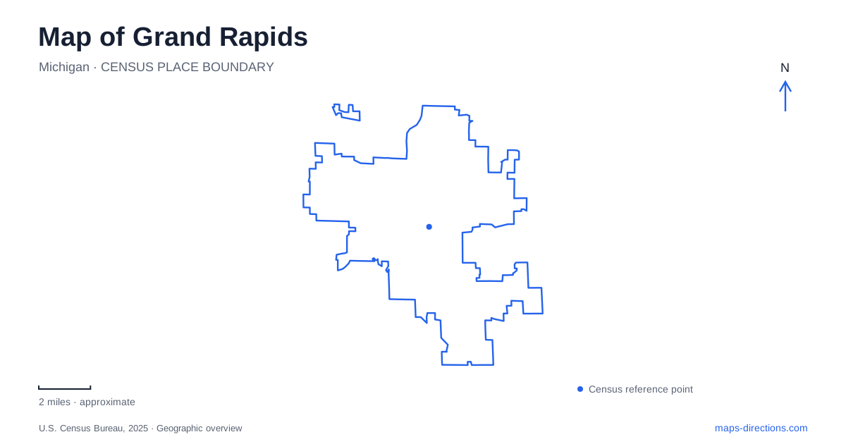
Street tiles load from OpenStreetMap when opened. The blue line shows the 2025 Census boundary.
- State
- Michigan
- Population · July 2025
- 201,183
- Land area
- 44.8 sq mi
- Water area
- 0.9 sq mi
A map of Grand Rapids places the Grand River at the center of a varied cultural landscape. Museums occupy the western bank, pedestrian connections link the downtown sides, and historic residential streets rise into Heritage Hill. Farther from the central riverfront, Frederik Meijer Gardens & Sculpture Park brings together planted landscapes and outdoor art. These places share an interest in history and design, but their positions reveal different stages and forms of urban development.
A river crossed on foot
The Blue Bridge began in 1892 as a railroad crossing. After the railway abandoned it in the 1980s, the city acquired and adapted the structure for pedestrians. Its bright color now makes it an easily recognized connection between the downtown riverbanks.
That change of use is part of the riverfront's story. A structure designed to move trains now allows people to experience the water and the buildings along it at walking speed. Its western end is associated with the downtown university campus, while paths on the eastern side reconnect with central streets.
A Grand Rapids walking route can use the bridge as a geographical hinge: it changes the bank without requiring a vehicle journey. The nearby Pearl Street crossing provides another reference point, particularly for the museums. Together, the crossings help explain how a river that divides the street grid also links the main downtown destinations.
Two museums on the western bank
The public museum's present riverfront facility opened in 1994. Its galleries, Roger B. Chaffee Planetarium and Cook Carousel Pavilion combine regional history, science and recreation. The 1928 Spillman Carousel overlooks the river, placing a historic amusement within a much newer museum building.
Outside, a geology wall represents six kinds of stone found beneath Kent County. This makes the riverfront setting part of the educational experience: the institution interprets not just objects inside the galleries but also the physical landscape beneath and around the city.
The Gerald R. Ford Presidential Museum is at 303 Pearl Street NW. Its grounds include the burial site of Gerald and Betty Ford. The museum belongs to the same presidential institution as the Ford Library, but the library is in Ann Arbor. That geographic separation matters for anyone searching the combined institutional name.
Within Grand Rapids, these museums contribute different perspectives to one riverfront area. The public museum addresses regional and broader cultural history, while the presidential museum focuses on Ford's life and public service. Their proximity makes comparison possible without implying that their collections or visitor entrances are shared.
Public space around Monroe Center
Rosa Parks Circle lies near Monroe Avenue and Monroe Center Street. Designed by Maya Lin, the plaza uses water in different forms as part of its concept, including flowing water, mist and winter ice. Seasonal activities turn the space into a gathering place as well as a work of landscape design.
The art museum stands beside the circle, and shops and restaurants continue along Monroe Center. This creates a different kind of cultural setting from the western riverbank: a plaza and commercial streets bring art and everyday downtown activity together. The map helps reveal the short connections among these public spaces, rather than presenting the center as a list of unrelated institutions.
Heritage Hill's residential history
Heritage Hill is adjacent to downtown and contains a wide range of nineteenth- and early twentieth-century houses. Cherry Street helps distinguish two broad development periods: much of the northern portion grew during the later nineteenth century, while the southern part developed largely in the early twentieth century.
The architectural variety records differences in wealth, taste and period. It also gives a Grand Rapids visit a residential perspective beyond riverfront museums and commercial blocks. These streets remain a neighborhood, with individual homes forming a collective historic landscape.
The Sophie and Meyer May House is a specific public historic-house destination within that setting. Frank Lloyd Wright's design was restored by Steelcase after the company acquired it in 1985, and it opened to the public in 1987. Work included restoring the roof's cantilevered form, repairing art glass and recreating the landscape. The result reflects extensive research and conservation, rather than a house that remained unchanged through every decade.
Gardens on East Beltline Avenue
Frederik Meijer Gardens & Sculpture Park is at 1000 East Beltline Avenue NE, away from the downtown riverfront cluster. The Japanese Garden opened in 2015 and occupies eight acres within the larger grounds. Waterfalls, sculpture and a teahouse are integrated into a carefully arranged landscape.
The teahouse was first constructed in Japan, dismantled for transport and reassembled using traditional methods. Its presence illustrates how the site combines horticulture, craft and art. On a map of Grand Rapids, the gardens form a separate destination whose internal paths deserve their own attention, complementing the bridges, plazas and historic residential streets of the central city.
Map and statistics: U.S. Census Bureau, 2025 Gazetteer, January 2025 generalized place boundaries and Vintage 2025 population estimates. Local references: Experience Grand Rapids; Grand Rapids Public Museum; National Archives; Steelcase; Frederik Meijer Gardens and Sculpture Park. Article prepared by Maps & Directions.