Map of Grand Prairie
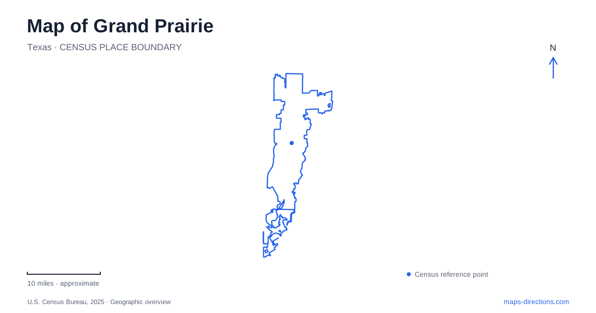
Street tiles load from OpenStreetMap when opened. The blue line shows the 2025 Census boundary.
- State
- Texas
- Population · July 2025
- 209,434
- Land area
- 76.5 sq mi
- Water area
- 9.0 sq mi
A map of Grand Prairie connects an older railroad town with a newer landscape of entertainment campuses and lake recreation. Main Street retains the historic downtown focus, while EpicCentral groups large attractions around a community park. Farther south, Joe Pool Lake changes the scale of the map: shorelines, creek arms and park roads take over from the urban street grid. Understanding those three settings helps explain why destinations bearing the same city name may belong to very different kinds of outing.
How the railroad established downtown
Alexander Dechman's land became the nucleus of the settlement. In 1876 he filed a town plat and gave alternating lots to the Texas and Pacific Railroad in exchange for a depot. Rail service through the settlement to Fort Worth began that July. The railroad renamed the place in 1877, replacing the earlier name of Dechman.
The history of Grand Prairie is therefore closely tied to east-west movement between Dallas and Fort Worth. Interurban trolley service added another connection in 1902. Much later, the Dallas–Fort Worth turnpike opened in 1957 and diverted through traffic away from Main Street. Those changes explain the difference between a historic commercial street and the larger transportation corridors that subsequently carried regional journeys.
The city incorporated in 1909 after an earlier vote had failed. Its downtown developed around the needs of a growing community, with shops, services and public buildings accompanying the transportation infrastructure. The old center remains useful as a geographical starting point even when an itinerary mainly concerns newer attractions.
A Main Street landmark with a second life
The Uptown Theater at 120 East Main Street opened as a movie theater in 1950. Following a city purchase and renovation, it reopened in 2008 as a multipurpose arts venue. Live theater, dance and concerts now give the building a different role from its original cinema use.
This is a particularly clear example of continuity in downtown Grand Prairie. The location remains a place for audiences to gather, while the interior and programming have adapted. Its Main Street address also distinguishes the older theater district from the much larger contemporary entertainment sites elsewhere in the city.
For someone comparing places on a map, the theater supplies a fixed downtown reference with a documented history. It is more informative than searching only for entertainment as a broad category, which can bring together venues spread across several separate districts.
The park within EpicCentral
EpicCentral combines entertainment businesses with a 172-acre community park. Paths around five lakes give the district an outdoor structure, alongside attractions such as Epic Waters and Bolder Adventure Park. The lakes and walking routes are part of the overall setting, rather than a leftover space between buildings.
This makes EpicCentral a different type of destination from Main Street. It is a collection of facilities around shared landscape features, so a map can help distinguish a waterside walk from a visit to a particular attraction. Within Grand Prairie, it also provides an intermediate scale between a downtown block and the extensive reservoir parks to the south.
Two creek arms shape Joe Pool Lake
Joe Pool Lake impounds Mountain Creek and Walnut Creek. Its two main arms reflect those streams, and water drains north through Mountain Creek toward Mountain Creek Lake. The two lakes are connected by the watershed but remain distinct bodies of water.
Impoundment began in January 1986, and the reservoir filled in 1989. The project serves flood control, water supply and recreation. Those functions help explain the broad managed shoreline and the way public access is concentrated in parks. The water's outline is not simply a scenic border around the city; it is the visible form of an engineered reservoir occupying branching creek valleys.
Different shores, different park experiences
Loyd Park's address is 3401 Ragland Road. Its wooded lakefront supports camping, cabins, a swimming beach and trail activities. The Walnut Creek hiking trailhead lies at the southern end of the park road. A separate paddling route follows the creek toward the Highway 360 overpass, illustrating how land trails and water routes can share a name while following different courses.
Lynn Creek Park, approached from Lake Ridge Parkway, is organized as a day-use park. The city's listing describes a seasonal daytime recreation schedule, so its regular lake access should not be assumed to match the overnight camping arrangements at Loyd Park. Boat ramps, picnic areas and trails make the shoreline useful in several ways, but the road approach depends on the chosen park.
A map of Grand Prairie becomes more coherent when these lake parks are read alongside the creek system and the earlier urban centers. Main Street reflects railroad settlement, EpicCentral organizes contemporary recreation around small lakes, and Joe Pool Lake occupies a much larger natural drainage pattern reshaped for regional needs.
Map and statistics: U.S. Census Bureau, 2025 Gazetteer, January 2025 generalized place boundaries and Vintage 2025 population estimates. Local references: City of Grand Prairie; City Parks Arts and Recreation; EpicCentral; US Army Corps of Engineers; Texas Water Development Board; Visit Grand Prairie. Article prepared by Maps & Directions.