Map of Grand Junction
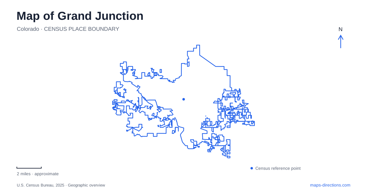
Street tiles load from OpenStreetMap when opened. The blue line shows the 2025 Census boundary.
- State
- Colorado
- Population · July 2025
- 71,827
- Land area
- 40.8 sq mi
- Water area
- 0.4 sq mi
Grand Junction takes its identity from the meeting of the Colorado and Gunnison rivers. That confluence is a useful starting point for understanding a city whose outdoor spaces extend along the water and upward into red rock country. A regional map shows the valley setting; a closer view reveals a downtown art district, river parks, island paths, and roads climbing toward Colorado National Monument. These landscapes sit near one another but offer very different kinds of movement, from a short sculpture walk to a winding drive above the canyons.
A downtown that functions as an outdoor gallery
The downtown district combines shops, restaurants, galleries, and theaters with an unusually deliberate public landscape. The tourism office describes downtown itself as a designated park, with trees, flowers, and benches woven into the commercial setting. Art on the Corner adds more than 115 sculptures and murals across the district. On a map of Grand Junction, this concentration makes downtown a useful place to organize a walking outing around several blocks rather than a single attraction.
The art collection also changes how to read the streets. An outdoor work can be part of the route between lunch and a theater, rather than a separate destination requiring another drive. Marking several works or galleries before arriving gives a walk some shape while leaving room for the landscaped public spaces between them. The downtown scale is especially helpful after a day spent looking across much larger canyon and valley landscapes.
Las Colonias and the river landscape
Las Colonias Park brings the water into the urban recreation network. Its amphitheater sits beside the Western Colorado Botanical Gardens, and the Riverfront Trail passes through this area. Butterfly Pond and the nearby slough provide distinct water settings: the pond is different from the moving channel, and both differ from the main Colorado River. A blue patch on the map therefore needs more interpretation than simply labeling the entire park a river access point.
Watson Island adds another layer to this riverside setting. Its paved paths and disc golf course occupy an island reached near the gardens. That makes it possible to include a small island circuit within a larger river outing. Grand Junction's waterfront is consequently more varied than a straight promenade: performance space, gardens, water recreation, and island paths sit within the same broad corridor. Choosing which of those landscapes to explore gives a visit a clearer purpose than following the river line without a destination.
Following the valley on two wheels
The wider paved trail system extends through several named sections. West of Las Colonias, the route passes beneath Fifth Street and through Dos Rios, where a bike park and playground provide a different kind of stop. Farther along are Riverside Park and the connection toward Connected Lakes. These names help divide a long river corridor into manageable portions with recognizable landmarks.
Eastward, the tourism office identifies a Clifton Nature Area section between 33½ Road, Corn Lake, and 29 Road. It also explains that this section does not connect directly to the Riverbend Park portion. That break matters when interpreting the overall network: a map displaying several riverside paths should not automatically be read as one uninterrupted paved ride. For a Grand Junction cycling plan, trace the selected section through its actual connections before deciding how much of the valley to include.
Two approaches to the monument
Colorado National Monument has entrances at opposite ends of Rim Rock Drive. Monument Road leads to the east entrance, while the west entrance is approached from Highway 340 near Fruita. The National Park Service places the visitor center and campground about nineteen miles from the east entrance but only four miles from the west entrance. Those distances explain why a trip focused on the visitor center can follow a different approach from one focused on the eastern canyons.
The east side is useful for the Devil's Kitchen area. The west side brings the visitor center closer to the beginning of the drive. Interstate arrivals can therefore orient toward either end according to what they intend to see. Public buses serve the broader valley, but the park service states that transit does not reach the monument itself.
Reading the road above the canyons
Rim Rock Drive is a twenty-three-mile scenic road with three tunnels and numerous overlooks. Its curves, steep stretches, and sheer drops make the drawn line on a map a poor substitute for understanding the terrain. Roads that appear close in a flat view can occupy very different elevations.
The drive also serves access to Glade Park along part of its eastern section, so it is more than an isolated sightseeing loop. A Grand Junction itinerary can pair the river landscape below with canyon views above, while treating each as a substantial part of the day. The contrast between those two levels of the landscape is what gives this map its distinctive character.
Map and statistics: U.S. Census Bureau, 2025 Gazetteer, January 2025 generalized place boundaries and Vintage 2025 population estimates. Local references: Visit Grand Junction; National Park Service. Article prepared by Maps & Directions.