Map of Grand Forks
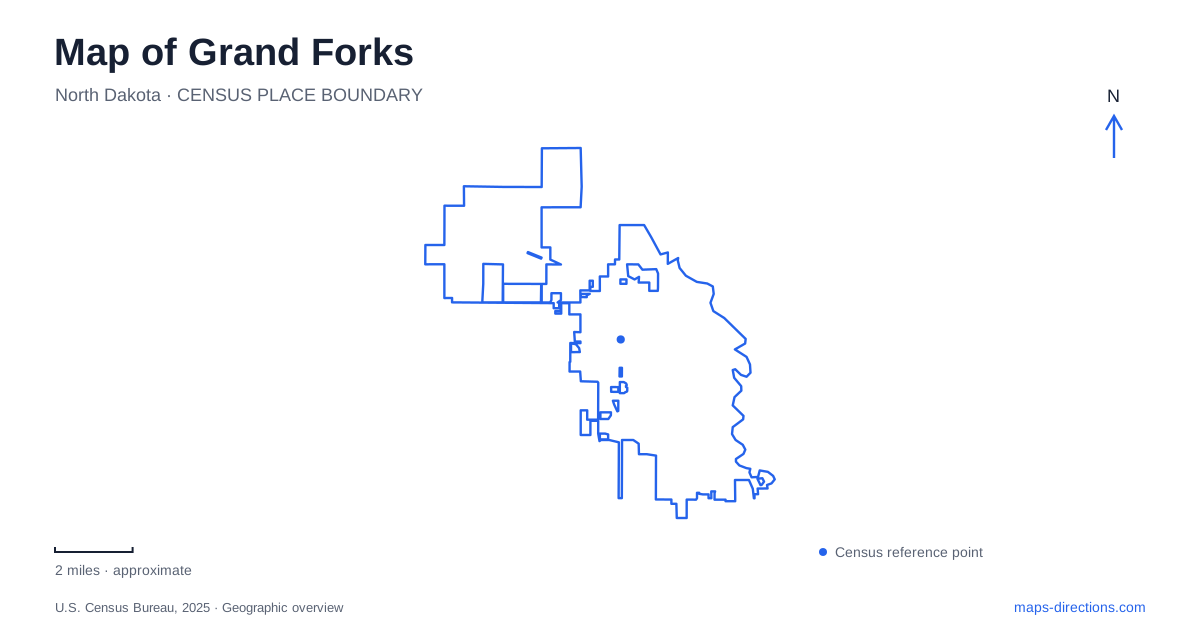
Street tiles load from OpenStreetMap when opened. The blue line shows the 2025 Census boundary.
- State
- North Dakota
- Population · July 2025
- 60,365
- Land area
- 29.2 sq mi
- Water area
- 0.2 sq mi
Grand Forks has a river edge that is also a state boundary, making bridges central to its geography. Across the Red River lies East Grand Forks in Minnesota, while the North Dakota city's university district occupies a separate inland setting. The Greenway connects recreation spaces along the water, and the history of the 1997 flood helps explain why so much open land appears beside the downtown streets. These features create a local map shaped by water, rebuilding, and regional connections.
DeMers Avenue meets the river
Sorlie Memorial Bridge carries the downtown crossing at DeMers Avenue. Minnesota's transportation department identifies it as the link over the Red River between the two states' neighboring cities. The bridge is therefore both a recognizable landmark and a practical connection between separate municipal centers.
A close downtown map should retain DeMers Avenue as well as the river. The avenue locates the approach to the crossing, while the water explains the division between the two sides. The Greenway adds another line of movement beside the river rather than across it. This creates a clear local pattern: downtown streets approach the bridge, and riverside paths follow the bank.
The broader Greenway includes land along both the Red and Red Lake rivers. The latter flows west to join the Red on the Minnesota side. That confluence explains why the regional recreation map has more than one river corridor, even when a visitor begins with a simple north–south view of the main river. It is a meeting of waterways as well as a meeting of neighboring communities.
The flood changed the park landscape
Lincoln Drive Park occupies land that was a residential neighborhood before the 1997 flood. Today its setting includes play space, picnic facilities, a dog park, disc golf, and a river boat ramp. The Greenway path runs through it, tying the park to the longer waterfront network.
This history changes how the open land should be read. The park is not merely an undeveloped gap beside downtown; it represents a major change in land use following a destructive event. Its present recreation spaces occupy a landscape with an earlier neighborhood history. Keeping that fact in mind gives the park's broad lawns and paths a meaning beyond their current amenities.
For a map of Grand Forks, Lincoln Drive Park provides a useful example of the relationship between flood protection and public recreation. The city's river edge was reshaped, and the Greenway now connects places that serve both landscape and community functions. A riverfront outing therefore follows part of the city's rebuilding story as well as a recreational route.
Riverside Park and the protection line
Riverside Park is farther along the river on North First Street. Its facilities include a pool, tennis complex, play areas, and winter recreation spaces. The park district notes that the park occupies both sides of the floodwall and dike system, with the Greenway path following the river.
That physical arrangement is especially informative on a detailed map. A flood-protection line is a real organizing feature, separating portions of the grounds rather than simply marking an administrative boundary. The park's built facilities and river-side spaces relate to that line in different ways. It helps explain why the route through a park may follow the protection system before reaching a particular activity area.
Comparing Riverside with Lincoln Drive also reveals variety within the Greenway. One contains an established recreation complex divided by flood infrastructure; the other was created from a former neighborhood. Their shared river setting does not make their layouts or histories identical. Both deserve their own names and landmarks when planning a longer waterfront walk or ride.
The university's smaller watercourse
The University of North Dakota introduces a different landscape within Grand Forks. University Avenue, Columbia Road, Campus Road, and North Forty-second Street form important references on the university's map. Academic buildings and open spaces are arranged within that street framework, while English Coulee provides a curving natural feature through the campus setting.
The university identifies the coulee as an important part of its open-space network. Hopper-Danley Chapel stands beside it on Davis Drive, offering a specific example of a building whose setting is defined by the watercourse. Campus greens and quads create further spaces between buildings, so a university visit involves more than following the surrounding roads.
A broad Grand Forks overview can thus hold two water landscapes in view at once: the large river and Greenway at the city's edge, and the smaller coulee within the university district. DeMers Avenue and the downtown bridge organize one setting; University Avenue and the campus roads organize the other. Together they explain the city's most recognizable districts through the land and water that shape them.
Map and statistics: U.S. Census Bureau, 2025 Gazetteer, January 2025 generalized place boundaries and Vintage 2025 population estimates. Local references: Minnesota Department of Transportation; City of Grand Forks; Visit Grand Forks; Minnesota Department of Natural Resources; Grand Forks Park District; University of North Dakota. Article prepared by Maps & Directions.