Map of Glenview
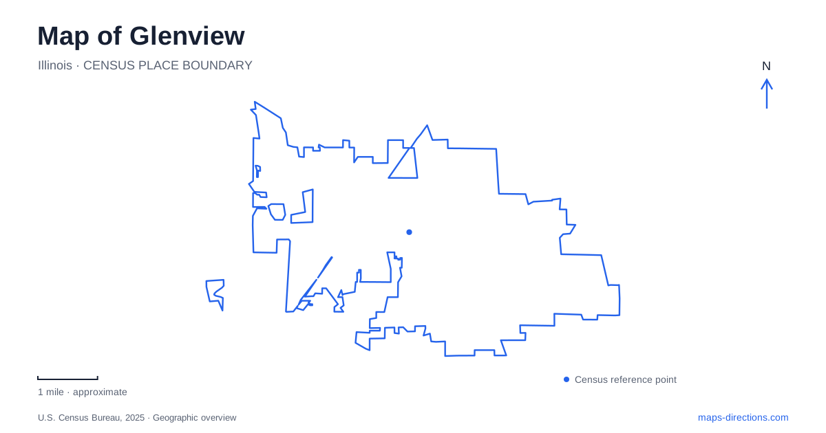
Street tiles load from OpenStreetMap when opened. The blue line shows the 2025 Census boundary.
- State
- Illinois
- Population · July 2025
- 47,711
- Land area
- 14.5 sq mi
- Water area
- 0.0 sq mi
Glenview contains several names that sound more alike than their locations or purposes really are. The Glen is a redeveloped neighborhood, The Grove is a historic nature property, and Gallery Park is a large community park. Add two rail stations to that mix and a short destination search can easily become ambiguous. Keeping the complete facility name and its street address is the most useful first step in reading the local map.
Two stations, two arrival decisions
The village identifies a downtown Metra station at 1116 Depot Street and the Glen of North Glenview station at 3000 Old Willow Road. Both serve the Milwaukee District North line, which connects Chicago Union Station and Fox Lake. They are separate stops, not alternative labels for the same platform. Choose the stop in relation to the actual destination rather than assuming the first city-named search result is the right arrival point.
This also matters for a pickup. Give the driver the station address and agree on the appropriate public pickup location, rather than sending only a train-line name. A rail itinerary establishes the station-to-station part of a trip, while the onward journey may involve another mode. Check that onward connection independently before deciding which stop works for a particular appointment or outing; a city map cannot establish a suitable train departure or transfer by itself.
The Glen reflects a changed land use
The Glen developed after the naval air station closed in 1995. That history helps explain why historic maps, aviation references and modern neighborhood labels can describe the same broad property in very different ways. An old airfield name is useful historical context, but it is not a current instruction to look for a passenger terminal or an operating military entrance.
On a map of Glenview, treat The Glen as an area containing multiple destinations. Enter the particular shop, park facility or street address rather than using the neighborhood as the final waypoint. This is especially helpful when comparing an old photograph or historic site description with the current street network: the broad place identity may persist even though the routes and building uses have changed.
Gallery Park and the Patriot Boulevard address
Gallery Park is listed at 2001 Patriot Boulevard. The park district describes walking paths, courts and a lake, with Little Bear Garden at the northeast corner of Patriot Boulevard and Chestnut. That corner reference is more useful for a playground meeting than a pin placed in the middle of the park. It identifies the relevant part of a much larger recreation area.
Different visitors may be heading for a court, the children's area or a walk through the grounds. Save the destination within the park when that distinction matters. The existence of a lake or a continuous-looking path on an overview does not identify where every activity begins. For organized programs, retain the location specified in the booking rather than replacing it with the general park address.
The Grove belongs on Milwaukee Avenue
The Grove is at 1421 Milwaukee Avenue. It combines nature trails and historic interpretation, including the Kennicott House and an interpretive center. This is a separate property from The Glen, despite the similar short names. A Glenview itinerary that includes both needs two distinct destination entries, not one vaguely worded “Glen” stop.
The park district describes oak-hickory savanna and wetland pools within the grounds. For a visitor, that means the site map has a different job from a shopping-area street map: it helps identify trails and buildings within a preserved landscape. Check the intended program location if attending a tour or activity. Reaching Milwaukee Avenue is only the road portion of the journey, not a guarantee that you have arrived at the correct internal meeting place.
Wagner Farm provides a fourth kind of stop
Historic Wagner Farm, at 1510 Wagner Road, is a working and interpretive farm. Its Heritage Center, historic farmhouse and outdoor grounds have different uses and access characteristics. The operator explicitly distinguishes the working farm from a petting zoo. That context matters when interpreting a map icon showing animals or farm buildings: it does not imply that every enclosure is open for unrestricted interaction.
A useful Glenview plan keeps these destinations separate by both name and street: Depot Street or Old Willow Road for the chosen rail stop, Patriot Boulevard for Gallery Park, Milwaukee Avenue for The Grove and Wagner Road for the farm. Those anchors let you arrange the journey around the places you actually intend to visit, while the neighborhood and historic labels provide context instead of substituting for precise arrival details.
Map and statistics: U.S. Census Bureau, 2025 Gazetteer, January 2025 generalized place boundaries and Vintage 2025 population estimates. Local references: Village of Glenview; Glenview Park District. Article prepared by Maps & Directions.