Map of Glendale
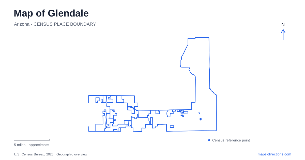
Street tiles load from OpenStreetMap when opened. The blue line shows the 2025 Census boundary.
- State
- Arizona
- Population · July 2025
- 260,572
- Land area
- 67.3 sq mi
- Water area
- 0.4 sq mi
Glendale, Arizona, has several geographic centers with very different origins. The historic downtown grew around a diagonal transportation corridor and an irrigated agricultural economy. The western sports district uses freeway access and large event sites. Northern conservation land follows desert hills rather than the street grid, while canal and wash trails form long recreational corridors between developed neighborhoods. A useful map keeps these patterns visible together, showing how the older town, modern venues and protected landscape occupy separate parts of the West Valley.
Grand Avenue and the older town
Grand Avenue cuts diagonally across the regular network of numbered avenues and east-west roads. Its history reaches back to 1888, when William J. Murphy helped construct the route. The Arizona Canal project had already brought water to the area in 1885, giving agriculture a foundation for expansion. The first residential plat followed in 1892, and the Santa Fe railroad reached the community in the mid-1890s.
Those overlapping routes explain why the historic center does not read simply as another rectangular neighborhood. The city's airport strategic plan identifies the railroad and its switching facilities around the US 60 and central avenue intersection. On a closer map, the diagonal road and railway create angled boundaries within the surrounding grid. They are enduring pieces of the economic geography that preceded the freeway-era city.
Catlin Court supplies another layer of that history. The city dates its development to 1915–1930, when agricultural demand and the need for housing helped expand the town. Its surviving historic residential fabric gives downtown Glendale a smaller scale than the large commercial sites farther west. The former beet sugar factory southeast of downtown is another landmark of the farming economy, linking the town's growth to processing as well as cultivation.
Sahuaro Ranch and the agricultural landscape
The historic Sahuaro Ranch began under William Bartlett in 1886. Its Adobe House, believed to date from 1887, is the oldest building at the park. The bricks were made on the ranch itself, connecting the structure quite literally to the land where it stands. The original adobe section and west porch were later joined by additions, so the building reflects several stages of use rather than a single unaltered design.
The house first accommodated the ranch superintendent. After the Main House was remodeled in 1895, employees used the earlier building; it became the ranch office under Richard W. Smith in 1927. These changes help explain a historic ranch site as a working collection of buildings with shifting functions. A park map showing separate houses and service spaces preserves the outline of that former operation within the present urban setting.
A western district shaped by major events
State Farm Stadium lies off Loop 101 between Cardinals Way and Glendale Avenue. Its relationship to the freeway is central to the sports district's layout: large parking areas and access roads surround a venue built for regional arrivals. Westgate's nearby entertainment and accommodation uses form part of the same western cluster.
The stadium's parking plan distinguishes approaches that a general street map may not explain. General parking can use the freeway exits and surface routes including 91st and 99th avenues, while preferred parking enters at Maryland and 95th avenues. The Black Lot south of the building serves the published rideshare pickup and drop-off function. For an event visit, the assigned parking area therefore determines the final approach through this part of Glendale more precisely than the stadium's street address alone.
Desert hills beyond the northern neighborhoods
Thunderbird Conservation Park covers 1,185 acres and has about 20 miles of trails. The main entrance is on 59th Avenue north of Deer Valley Road, with other access at 67th Avenue and Patrick Lane and at 55th Avenue near Pinnacle Peak Road. These approaches lead into a desert conservation landscape rather than a typical neighborhood recreation field.
On the northern part of the city map, the trail system introduces curves and climbing routes where nearby roads follow straight alignments. The city's trail materials distinguish the conservation park's varied hiking difficulty from easier linear routes elsewhere. Choosing among those trailheads changes which part of the hill network a walk begins in; a short-looking line across the map need not imply level ground or an easy connection.
Following canals and washes
Other Glendale trails use elongated corridors through developed land. Thunderbird Paseo Park runs along the Arizona Canal, with paved and equestrian routes, and connects with Skunk Creek Linear Park. The latter follows the creek corridor and provides connections to neighborhood parks. These routes reveal water infrastructure and drainage patterns that can disappear beneath street labels at a broad map scale.
Farther west, the New River Trail follows the wash and connects with the neighboring city's trail at Northern Avenue. The Grand Canal corridor supplies another long recreational alignment. Together, these paths show how the local outdoor network is shaped by both engineered canals and natural drainage, extending beyond the isolated green rectangles normally associated with city parks.
Map and statistics: U.S. Census Bureau, 2025 Gazetteer, January 2025 generalized place boundaries and Vintage 2025 population estimates. Local references: City of Glendale; State Farm Stadium. Article prepared by Maps & Directions.