Map of Germantown
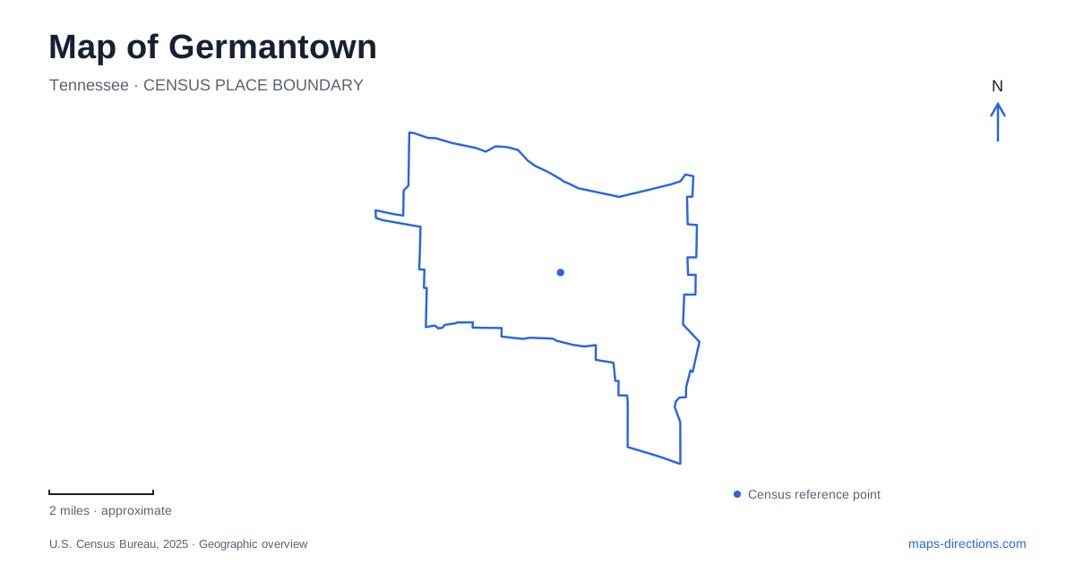
Street tiles load from OpenStreetMap when opened. The blue line shows the 2025 Census boundary.
- State
- Tennessee
- Population · July 2025
- 40,001
- Land area
- 20.0 sq mi
- Water area
- 0.0 sq mi
Germantown has two particularly useful landscape references: the historic railway setting around the depot and the Wolf River corridor farther north. Between them, parks and civic landscapes give individual neighborhoods recognizable destinations. Poplar Pike holds Oaklawn Garden and a concentration of recreation spaces, while Kimbrough and Wolf River Boulevard provide access to a different environment of trails, trees, and floodplain remnants. A map becomes more revealing when these places are understood through their history and landforms rather than as a uniform collection of suburban streets.
The depot and the railway footprint
The local historical preservation association records the arrival of railway tracks in 1852 and the construction of an early depot in 1858. The Memphis and Charleston Railroad, later the Southern Railway, connected the community with a wider transportation system. Fire in 1947 led to rebuilding on the depot's existing foundation, so the surviving structure represents continuity of location rather than an untouched original building.
The association also documents a former second track between the depot and the present railway line. That arrangement allowed freight to be handled directly at the baggage room. The second track ended at West Street following that road's construction in the 1980s. These details make the depot area a useful place to read Germantown's changing transportation geography: the relationship between building, track, and street has altered even while the railway corridor remains a defining feature.
Gardens, artifacts, and the Poplar Pike parks
Oaklawn Garden stands at 7831 Poplar Pike. The former family farm, nursery, and florist property combines a garden landscape with historical objects. One unusual surviving item is the town's old jail. The historical association describes its movement from a site below the water tower to the town hall in 1950, its continued use until 1967, and its eventual preservation by Harry Cloyes at the garden. The object carries municipal history into a setting otherwise associated with flowers and trees.
The city identifies Oaklawn as a level-three arboretum with more than ninety tree species. Nearby Morgan Woods contributes a different wooded experience: its trail winds behind the garden and the Bobby Lanier Farm Park. These spaces belong to the wider Civic Club Complex, which also contains recreation fields and C.O. Franklin Park. On a Germantown map, this grouping helps explain why several separately named destinations appear close together south of Poplar Pike. Their proximity reflects a broader concentration of public land, although gardens, woods, and playing fields serve different purposes.
The existing greenway along the river
The municipal greenway plans describe a linear park and a larger circuit around the city. Named sections include the Wolf River route from the western boundary to Farmington and the connection between Johnson Road Park and Houston Levee Park. Identify the particular segment and its public entrance before setting out; an overall planning loop is not a guarantee of uninterrupted access around the full circuit.
Along the river corridor, the city identifies an arboretum section between the Cameron Brown trailhead and Kimbrough at Wolf River Boulevard. Interpretive features add reasons to pause: Beaver Boondocks explains the animal's behavior and engineering, Bottomland Glen focuses on trees in wet conditions, and Turtle Bayou uses a boardwalk and dock to bring visitors toward the water. River History Plaza adds information about human use of the river and water quality. These features turn Germantown's greenway into a sequence of outdoor learning places as well as a route for exercise.
A small remnant forest at Riverwoods
Riverwoods State Natural Area protects twenty-one acres near the Wolf River. Its parking area, short trail, and information kiosk are on the east side of Kimbrough. Tennessee's natural-area description emphasizes that this is a remnant of a formerly larger forest, now surrounded by urban development. Floodplain terraces preserve evidence of the landscape before river channelization altered its flooding patterns.
The vegetation includes bottomland hardwoods as well as oak-hickory and mixed mesophytic forest on higher ground. Red buckeye adds a native spring-flowering shrub, while invasive Chinese privet illustrates the pressures faced by a small preserve within a developed setting. The site's value comes partly from this contrast: a short local trail can reveal ecological relationships that are easy to overlook on a road map.
Together, the depot, garden, greenway, and preserve provide four distinct ways to understand Germantown. The railway explains an older pattern of movement and commerce; Oaklawn preserves both cultivated landscape and civic artifacts; the greenway follows the river through a growing recreation network; and Riverwoods retains a fragment of the floodplain's forest. Keeping those identities visible makes the city's public spaces easier to locate and more meaningful to explore.
Map and statistics: U.S. Census Bureau, 2025 Gazetteer, January 2025 generalized place boundaries and Vintage 2025 population estimates. Local references: Germantown Historical Preservation Association; City of Germantown; Tennessee Department of Environment and Conservation. Article prepared by Maps & Directions.