Map of Georgia
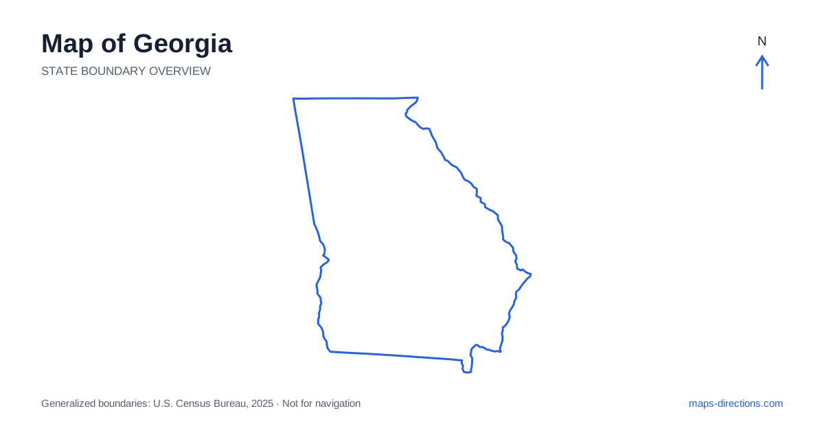
Georgia can be read as a progression from mountain country in the north through the Piedmont to a broad coastal plain. Atlanta dominates many road maps, but it is only one part of that larger geography. Augusta lies along the eastern boundary, Savannah sits near the Atlantic coast, and cities such as Macon, Columbus and Valdosta orient the central and southern regions. Recognizing those separate anchors makes it easier to plan a journey that follows sensible corridors rather than repeatedly returning to the capital for destinations that lie elsewhere.
Begin with the northern mountain edge
The northern part of Georgia reaches into the Blue Ridge, where valleys, ridges and smaller mountain towns create a winding road network. Blue Ridge, Ellijay and Dahlonega help locate different approaches to this region. A map may place them close together, but the route between them follows the terrain rather than a direct line over the hills.
Use the mountain towns as local reference points and identify the specific road serving a cabin, trailhead or recreation area. A property described as being near a well-known town can sit well outside its center. For a day that includes several valleys, compare the full connecting route rather than measuring the distance between labels. This helps distinguish a relaxed local excursion from a longer circuit through multiple mountain approaches.
Read Atlanta as a large road network
Atlanta is the state capital and an important junction for Interstates 20, 75 and 85. Its metropolitan area extends far beyond the central city, so a map of the region should show the actual suburb, airport or business district involved. A booking with an Atlanta address does not necessarily place you near every attraction associated with the city.
Interstate 285 circles much of the urban core and provides connections between radial highways, but a beltway is not automatically the best route for every local trip. Choose the approach that serves the destination's side of the metropolitan area. If the journey continues toward another region, an overnight stop on the appropriate side may avoid crossing the urban network again the following morning. This is a geographical planning choice, separate from predicting current traffic.
Connect the central cities to the right corridor
Across Georgia, Interstate 75 runs south from the Atlanta area through the central corridor toward Valdosta and Florida. Macon is a major reference point on that route. Interstate 16 branches toward Savannah, while Interstate 20 connects the capital region with Augusta and the eastern border. Columbus sits farther southwest on the Chattahoochee River and requires a different connection.
These cities should be placed on the map before optional sightseeing stops are added. A visit to Macon and Savannah follows a different pattern from one involving Columbus and the western boundary. The capital may be the starting point for both, but that does not make the later stages interchangeable. Arrange stops in the order of their actual corridors so that the route does not zigzag across the middle of the state unnecessarily.
Follow the rivers at the state edges
The Savannah River forms much of the boundary with South Carolina, while the Chattahoochee marks part of the western edge beside Alabama. Rivers create recognizable lines on the outline, but they also concentrate crossings at particular locations. A destination on the opposite bank may require a bridge that lies away from the point that appears closest on the map.
This matters both for border cities and for quieter rural stretches. Near Augusta or Columbus, a metropolitan view helps identify the relevant crossing and approach. Farther away, a regional map may be needed to understand the next available connection. Do not assume that a road running toward the boundary continues across the water. Trace the crossing explicitly whenever the itinerary moves into a neighboring state.
Separate Savannah from the island coastline
The coast of Georgia is a landscape of tidal rivers, marshes, sounds and barrier islands rather than a continuous roadside beach. Savannah is an important coastal-region city, but its historic center is not itself an oceanfront beach destination. Tybee Island lies farther east along a separate approach, while Brunswick and the nearby islands form another regional cluster farther south.
St. Simons Island and Jekyll Island have different access roads and local layouts. Other coastal places may require a boat connection or specific visitor arrangements. Start with the named island or mainland arrival point instead of using the coastline as one broad destination. A bridge or causeway visible on the map is part of the route, and a waterfront label does not establish road access to every nearby shore.
Use the coastal plain to organize southern travel
Much of the south has lower relief than the northern uplands, but its towns and water features still give journeys a distinct structure. The Okefenokee area near the southeastern border, for example, is a large wetland landscape with particular access points. It should not be treated as a single pin that can be approached equally from every direction. Choose the intended visitor area before joining it to the next stop.
For a Georgia itinerary, group the mountain north, the Atlanta region, the central corridors and the coast into separate stages. This makes the transitions visible before the schedule becomes crowded. Use a close view for the final island approach, urban entrance or wetland access road. The state outline establishes position, while its terrain, rivers and corridor cities explain how a workable journey fits inside that shape.