Map of Georgetown
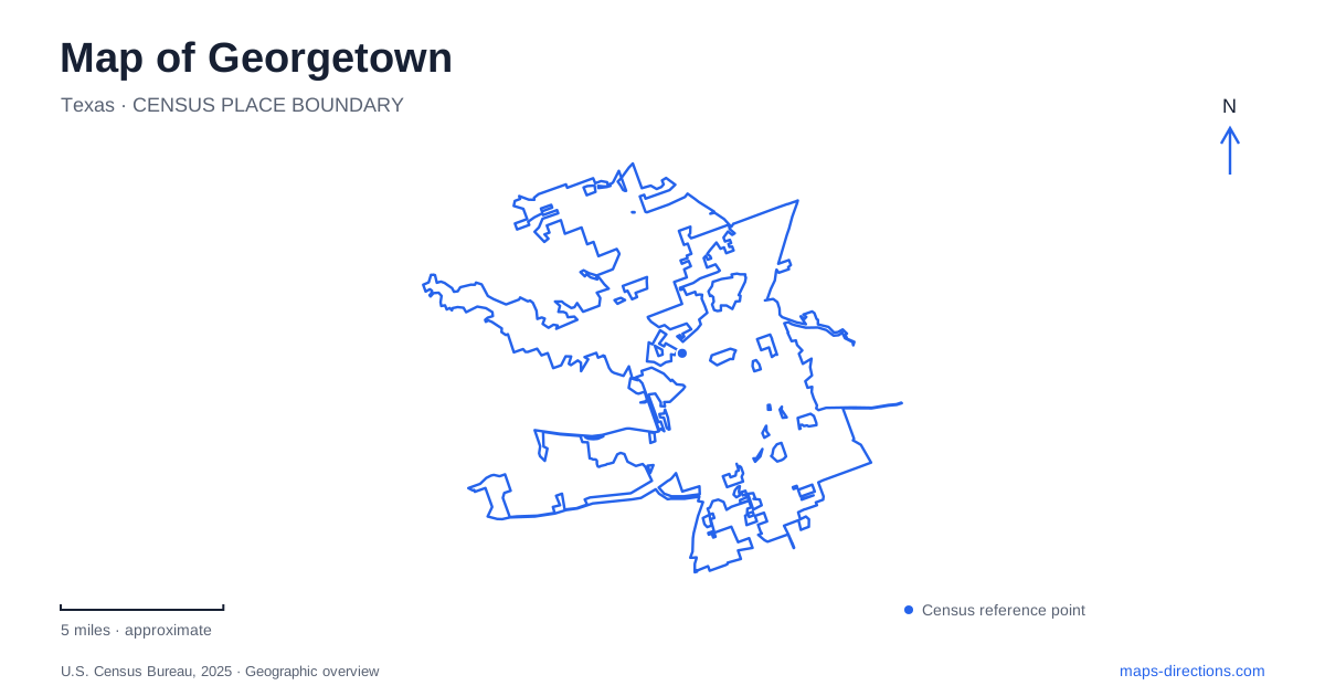
Street tiles load from OpenStreetMap when opened. The blue line shows the 2025 Census boundary.
- State
- Texas
- Population · July 2025
- 106,907
- Land area
- 58.9 sq mi
- Water area
- 2.3 sq mi
Georgetown's central map is organized by a courthouse square and a numbered street grid, but its wider geography follows the San Gabriel River system. Blue Hole brings the South Fork close to downtown, Southwestern University establishes an educational district along University Avenue, and the reservoir's parks require a much broader view to the west. These places are connected by local roads and historical relationships, yet they differ greatly in scale. Reading the square, campus, riverbank, and lake as distinct settings makes the map useful for more than simply finding the municipal center.
The courthouse as an architectural anchor
The Williamson County Courthouse stands at 710 South Main Street and remains the square's defining landmark. Completed in 1911, it was the fifth courthouse built to serve the county. The county's historical description identifies the Austin firm Charles H. Page and Brother as its designer and highlights its Classical Revival architecture, Ionic columns, and copper dome. This gives the central block a clear historical identity within Georgetown's street network.
The surrounding downtown map includes Main, Church, Rock, Austin Avenue, and a sequence of numbered cross streets. These repeated intersections make it possible to locate a destination by its position relative to the square rather than by an imprecise downtown label. Rock Street lies within the same broader grid and becomes especially important toward the river. University Avenue provides another strong reference at the southern edge of the mapped central area.
The courthouse's long institutional history also explains why the square is more than a shopping destination. Its central building belongs to county government and public life, while the surrounding blocks form a separate commercial streetscape. Reading the building and the streets together provides a stable point from which to understand the rest of the center.
Blue Hole and the South Fork
Blue Hole Park occupies a river setting along the South Fork of the San Gabriel. Municipal historical research identifies Rock Street as the principal public approach and the Austin Avenue bridge as a strong visual boundary to the east. The river's banks, trees, and pool create a landscape distinct from the courthouse blocks even though they sit within the same central urban area.
For Georgetown, Blue Hole's importance predates its formal park designation. The city's historic-resources survey found references to baptisms there in the 1890s and described a long history of swimming and gathering. The survey also distinguished that older use from the later dams that helped define the pool. This makes the site a cultural landscape as well as a water feature: its significance comes from the repeated use of a particular river location over generations.
A municipal site diagram places West Second Street and Rock Street beside the South Fork. Those names offer a concrete way to relate the river to downtown. They are more useful than treating Blue Hole as a generic swimming destination somewhere outside town, and they keep the South Fork setting distinct from the much larger reservoir.
University Avenue and the campus district
Southwestern University's main address is 1001 East University Avenue. Its campus map identifies Seventh and Eighth streets, Maple Street, McKenzie Drive, Wesleyan Drive, and Southwestern Boulevard among the surrounding or internal references. These streets create an educational district with its own building and pedestrian geography, separate from the courthouse square.
On a map of Georgetown, University Avenue provides a recognizable connection between the central street pattern and the university's address. The campus map then resolves academic buildings, parking, and athletic areas at a more detailed scale. A university visit benefits from that second layer because the institutional address represents a whole campus, while a particular program or appointment belongs to an individual building within it.
Reservoir roads and the Goodwater Loop
The reservoir parks use several different road approaches. Corps of Engineers directions identify D. B. Wood Road and Cedar Breaks Road for Cedar Breaks Park, Williams Drive and Jim Hogg Road for Jim Hogg Park, and FM 3405 with County Road 262 for Russell Park. Overlook Park is reached by Lake Overlook Drive. These roads show how access is distributed around a large water body rather than concentrated at one entrance.
The Goodwater Loop travels approximately 26 rugged miles around the lake, crossing juniper woodland, hardwood bottomland, and prairie settings before completing its circuit at the North San Gabriel Dam. A separate paved section extends east from Overlook Park toward the urban trail system. Those surfaces and scales should remain distinct on a recreational map. Together with the square, Blue Hole, and the campus, the reservoir gives Georgetown a geography that moves from compact civic blocks to river corridors and a much larger managed water landscape.
Map and statistics: U.S. Census Bureau, 2025 Gazetteer, January 2025 generalized place boundaries and Vintage 2025 population estimates. Local references: Williamson County; City of Georgetown; Southwestern University; US Army Corps of Engineers. Article prepared by Maps & Directions.