Map of Gardena
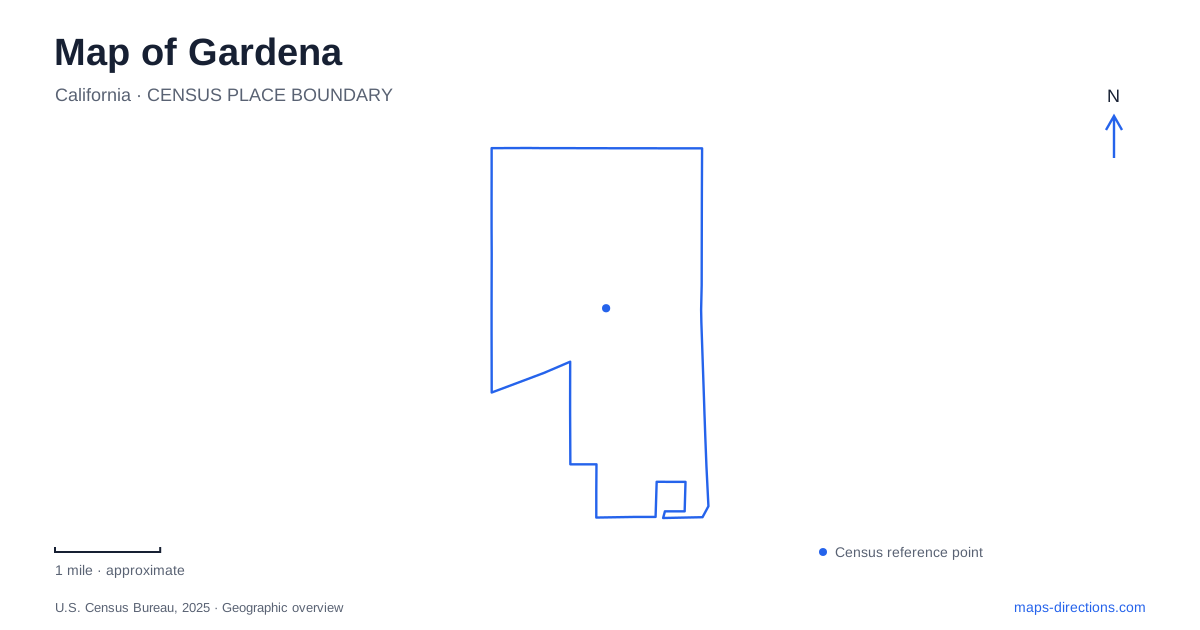
Street tiles load from OpenStreetMap when opened. The blue line shows the 2025 Census boundary.
- State
- California
- Population · July 2025
- 58,460
- Land area
- 5.8 sq mi
- Water area
- 0.0 sq mi
Gardena's familiar street grid conceals an unusual founding story: the anticipated railway route helped determine where the community center would be, and a change in that route prompted the center to move. The modern landscape also retains traces of a farming past and a wetland system once much more extensive than today's preserve. Vermont Avenue, West 162nd Street, and the recreation grounds on nearby avenues provide useful anchors for exploring these different layers.
A town center follows the railway
The county library's local history places the early planned center at Figueroa and 161st streets. Developers expected the railway to follow Figueroa, but the eventual alignment used Vermont Avenue. In 1889, the community's core shifted toward Vermont and 166th streets, shortly before the rail line opened the following year.
That story makes the street map more than an arrangement of parallel avenues. Two different intersections represent an anticipated future and the actual transport connection that reshaped local development. Vermont's importance emerged from a specific decision about railway routing, not simply from its later role as a through street.
For someone exploring Gardena, this historical relationship gives meaning to a relatively ordinary-looking urban grid. The county library's photograph collection includes early street scenes and railway material, offering a way to compare the present layout with the community's earlier form. The main lesson is spatial: the location of transport infrastructure could shift the focus of an entire settlement.
West 162nd Street concentrates civic life
City Hall is at 1700 West 162nd Street, with the Nakaoka Community Center nearby at 1670 West 162nd. The city's facility records also place the Human Services Building and James Rush Gymnasium at 1651 West 162nd. These addresses create a compact civic and recreation cluster along one numbered street.
The community center contains classrooms, meeting space, a kitchen, and an auditorium. It supports activities that differ from the administrative work at City Hall or the indoor recreation associated with the gymnasium. A street-level map shows how those functions are gathered together while retaining separate buildings and entrances.
This part of Gardena is therefore a useful anchor for residents and visitors attending a class, community meeting, or civic event. The shared street name makes the cluster easy to identify, while the individual building names explain its range of uses. It also provides a different kind of center from the historic railway-related intersection farther along Vermont.
Parks distribute recreation through the grid
Mas Fukai Park stands at 15800 South Brighton Avenue. The county's facility directory identifies ball fields, basketball courts, picnic tables, play areas, and a community building. Paul A. Rowley Park, at 13220 South Van Ness Avenue, includes both an auditorium and gymnasium in the city's recreation inventory.
The two parks occupy different parts of the numbered-street network. Their addresses offer a straightforward way to see the spread of recreation beyond the West 162nd Street civic cluster. A visit for indoor sport or a community gathering may therefore lead to Rowley, while a particular field or neighborhood program may be associated with another park.
Gardena's parks are especially useful for understanding the city at neighborhood scale. Their playing areas and buildings are inserted into an urban grid, creating local gathering places rather than one large regional recreation destination. The city's master plan treats them as a system, which helps explain why similar activities can appear at several addresses without those locations being interchangeable.
The Willows preserves a water-shaped landscape
The Willows Wetland Preserve is entered through Arthur Johnson Park, formerly called South Park, at 1202 West 170th Street. The preserve's own event information places this access between Normandie and Vermont, one block north of Artesia. Those road references give a precise setting for a natural area surrounded by urban development.
The Friends organization supports environmental education, restoration, and public strolls. Visits are organized through scheduled activities, so the preserve functions differently from an unrestricted neighborhood through-path. Its purpose is to conserve and interpret a wetland ecosystem, with stewardship forming part of the experience.
The wider agricultural history of Gardena helps explain why this surviving natural place matters. The city's heritage account describes vegetable and strawberry fields cultivated by settlers of Japanese descent. The preserve and the farming story reveal a landscape shaped by water and cultivation before the dense urban pattern became dominant. Looking between the Willows, the civic cluster, and the railway-related intersections brings those layers into view: natural habitat, agricultural community, transport corridor, and modern municipal life all occupy the same local map.
Map and statistics: U.S. Census Bureau, 2025 Gazetteer, January 2025 generalized place boundaries and Vintage 2025 population estimates. Local references: LA County Library; City of Gardena; Los Angeles County; Friends of Gardena Willows; City of Gardena Heritage Committee. Article prepared by Maps & Directions.