Map of Galveston
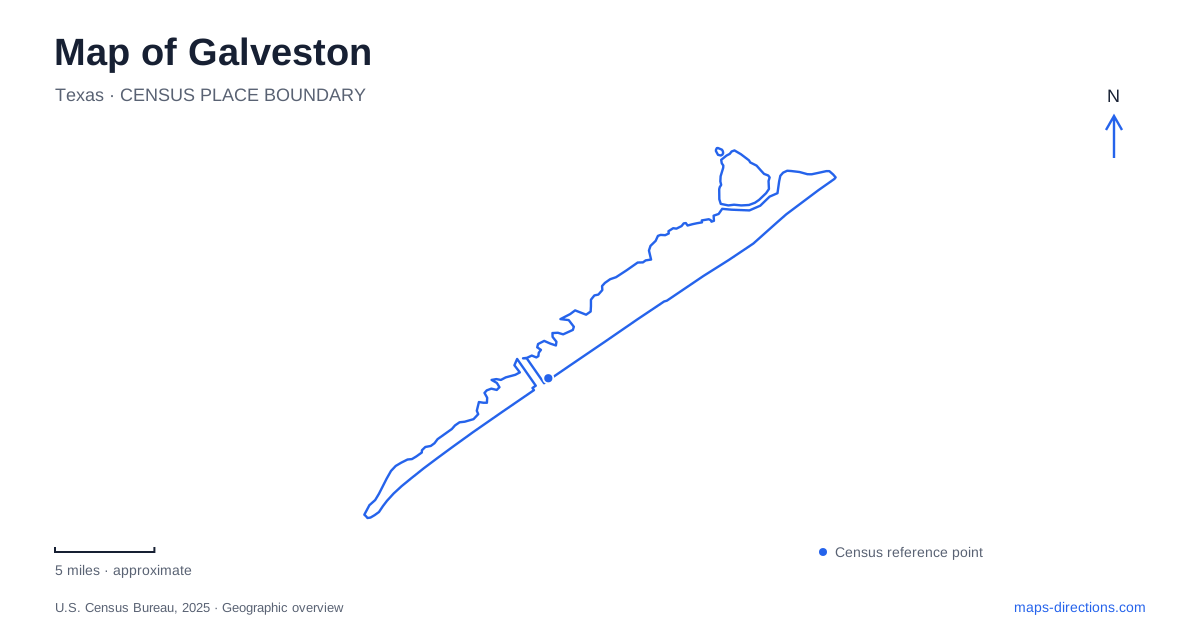
Street tiles load from OpenStreetMap when opened. The blue line shows the 2025 Census boundary.
- State
- Texas
- Population · July 2025
- 53,636
- Land area
- 41.0 sq mi
- Water area
- 170.3 sq mi
Galveston has two waterfront orientations that should remain distinct on a map: the harbor and historic commercial district on one side, and the Gulf-facing Seawall on the other. Broadway crosses the built-up city between them, while the long island continues west toward beaches, neighborhoods, and protected habitat. A visitor arriving for a cruise, a Victorian house tour, or a day beside the surf is therefore heading toward a different part of the same island. The city's street grid provides the connection between those settings.
Numbers, letters, and names coexist
The older street system uses numbered streets running generally north to south and lettered avenues running east to west. Many also have names. The Strand corresponds to Avenue B, Market to Avenue D, Postoffice to Avenue E, Church to Avenue F, and Broadway to Avenue J. Among the numbered streets, Twenty-First is Moody, Twenty-Second is Kempner, Twenty-Third is Tremont, and Twenty-Fifth is Rosenberg.
These paired identities are useful local knowledge rather than an error in a map. A business may use a named street while another description uses its number or avenue letter. Downtown wayfinding signs deliberately show both forms for several principal cross streets. Following the grid becomes much easier once a visitor recognizes that two labels can describe the same alignment, especially when moving between a museum address and the neighboring shopping blocks.
The port and Strand district
Historic downtown Galveston includes The Strand, Ship Mechanic Row, Market, Postoffice, and Church streets. The official visitor wayfinding system separates this district from the Port District, which includes cruise terminals and the historic waterfront. The distinction reflects different activities: browsing a compact commercial area, boarding a vessel, and visiting a maritime exhibit all involve different kinds of arrival.
At Pier 22, the historic seaport is home to the 1877 sailing ship ELISSA. The iron barque was built in Aberdeen, Scotland, and later restored for museum use and sailing. Seeing the vessel beside the harbor places maritime history within the setting that made the city a port. Immigration interpretation at the seaport adds another dimension, connecting ships and waterfront infrastructure with the people who arrived through them.
A route through the Strand area and toward the historic seaport can therefore follow a coherent theme without assuming that the entire working port is a public promenade. The visitor district and commercial shipping environment share a waterfront but serve different purposes.
Broadway leads through an architectural landscape
The 1892 Bishop's Palace stands at 1402 Broadway, also identified as Broadway Avenue J. Known as the Gresham House, it belongs to the East End Historic District. Its elaborate Victorian architecture is a prominent example of the island's preserved residential heritage, distinct from the commercial buildings near the harbor.
For a Galveston map, Broadway supplies an especially helpful cross-island reference because the avenue name appears alongside its letter designation. The house's location also introduces the East End as a neighborhood landscape, not simply the direction of the beach. Individual landmarks sit within residential blocks, and the historic district has a different rhythm from either the Strand's shops or the Seawall's visitor-oriented frontage.
The Seawall faces the Gulf
Seawall Boulevard follows the Gulf-facing side of the developed island. The seawall and the raising of the city's grade followed the devastating hurricane of 1900, making the waterfront's present form inseparable from efforts to protect the community. Beaches, lodging, restaurants, and attractions now line this coastal corridor, but the engineering structure explains why the road and promenade occupy their particular position above the shore.
Farther west, Galveston Island State Park extends across both beach and bay environments at 14901 FM 3005. Trails, observation areas, dune and marsh boardwalks, and paddling opportunities reveal a landscape different from the more intensely developed Seawall. Choosing the bay side or beach side is a meaningful decision about habitat and activity within one park, rather than merely a choice of parking area.
The ferry reaches a different landform
The state-operated ferry carries Highway 87 travelers between the island and the Bolivar Peninsula. Its island landing is at 1000 Ferry Road. Vehicles and walk-on passengers can use the service, but the crossing is a transportation link across the channel, not a bridge or a continuation of an uninterrupted island road.
Reading Galveston through these relationships produces a clear geographic picture: named and numbered streets organize the historic city, Broadway connects residential landmarks, the harbor interprets maritime life, the Seawall faces the Gulf, and the western park and eastern ferry extend exploration beyond the central blocks.
Map and statistics: U.S. Census Bureau, 2025 Gazetteer, January 2025 generalized place boundaries and Vintage 2025 population estimates. Local references: Rosenberg Library History Center; Visit Galveston / Park Board; Galveston Historical Foundation; Aberdeen City Museums; Visit Galveston; Texas Parks and Wildlife; Texas Department of Transportation. Article prepared by Maps & Directions.