Map of Gallatin
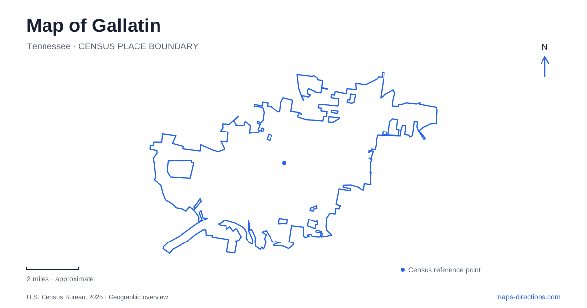
Street tiles load from OpenStreetMap when opened. The blue line shows the 2025 Census boundary.
- State
- Tennessee
- Population · July 2025
- 54,590
- Land area
- 35.7 sq mi
- Water area
- 0.5 sq mi
Gallatin has an older civic center organized around a public square and a wider landscape shaped by creeks and Old Hickory Lake. Main Street and Water Avenue help locate the historic core, while the Town Creek Greenway connects downtown with recreation areas farther out. Lock 4 Road leads to a separate series of lakeside access points. These relationships make the city easier to understand than a map that groups every park or historic house under one broad destination label.
The square and its surrounding streets
The community was founded in 1802, and the Downtown Public Square remains its most recognizable historical reference. The commercial historic district includes the courthouse, square, and buildings along Main, Water, College, and Franklin streets. Its National Register listing dates to 1985. This network of adjoining streets is a more useful way to locate the historic center than imagining the square as an isolated monument.
Water Avenue offers a clear north-south reference for cultural stops. The Palace Theater is at 146 North Water Avenue, while Rose Mont stands farther along South Water. West Main Street contains the Sumner County Museum and Trousdale Place, listed together by the county tourism organization at the 183 West Main address group. These destinations give a short downtown exploration several possible themes, from local collections and public architecture to performance and domestic history.
Rose Mont beyond the commercial blocks
Rose Mont is a distinctive architectural destination in Gallatin at 810 South Water Avenue. The city identifies its opening date as 1842 and describes a design combining Greek Revival and Palladian influences. Its colonnaded galleries and two-story portico differ markedly from the commercial façades around the square. The property was built by Josephus Conn Guild and is now city-owned.
Its South Water address matters because the house is a separate stop from the compact courthouse area. A visitor interested in architecture can compare the public and commercial buildings downtown with a substantial historic residence farther along the same avenue. The city provides seasonal public tours and also uses the property for events. That combination makes the house both a preserved building and an active civic resource, with access organized around its own calendar.
A creek route into downtown
The Town Creek Greenway gives Gallatin a route that follows water rather than simply duplicating its streets. The city describes a connection from the Civic Center through Triple Creek Park, continuing along Town Creek toward downtown. The greenway passes beneath East Broadway and through the historic Woodson Terrace neighborhood. This route shows how a recreation corridor can connect developed neighborhoods with the older center.
The final downtown section, completed in 2016, continues from Wilmore Street toward North Water Avenue and the Farmers Market. A trailhead with parking on College Street provides another access point. These named connections make the greenway useful for more than an out-and-back park walk. They also establish a clear distinction between a creekside journey into town and a lakeside outing, which belongs to a different part of the local geography.
Three access areas along Lock 4 Road
Lock 4 Park is a group of lakeside spaces with three separately identified approaches. The city's directory places Access 1 at 1054 Lock 4 Road, Access 2 at 1302, and The Point at 1598. The numbering follows the road, but the facilities differ. Access 1 includes a boat ramp, playground, picnic pavilion, and fishing pier; Access 2 provides another launch and fishing area; The Point adds mountain-bike trails and picnic space.
For an outdoor trip from Gallatin, this distinction is particularly useful. A boat launch, a playground visit, and a trail ride may all be described as going to Lock 4, yet they do not necessarily begin at the same access area. The park's road sequence gives each activity a more precise place. The Point's name also identifies a particular section of the shoreline, not the whole collection of public lake access sites.
Bledsoe Creek and the wider lake landscape
Bledsoe Creek State Park is outside the city, off State Highway 25. The state management plan places it on an embayment of Old Hickory Lake near the historic settlement of Cairo. Established as a state park in 1973, it offers camping and day-use recreation in a setting distinct from the municipal Lock 4 areas. Both belong to the larger lake landscape, but they have different approaches and operators.
A map of Gallatin becomes more informative when these scales remain visible. The square and surrounding streets explain the civic center; South Water leads to Rose Mont; Town Creek creates a greenway connection through neighborhoods; and the lake opens a wider set of destinations beyond downtown. Following those relationships allows a visitor to combine interests sensibly, whether the priority is historic architecture, a creekside walk, or time beside the water.
Map and statistics: U.S. Census Bureau, 2025 Gazetteer, January 2025 generalized place boundaries and Vintage 2025 population estimates. Local references: City of Gallatin; Sumner County Tourism; Tennessee State Parks. Article prepared by Maps & Directions.