Map of Fulshear
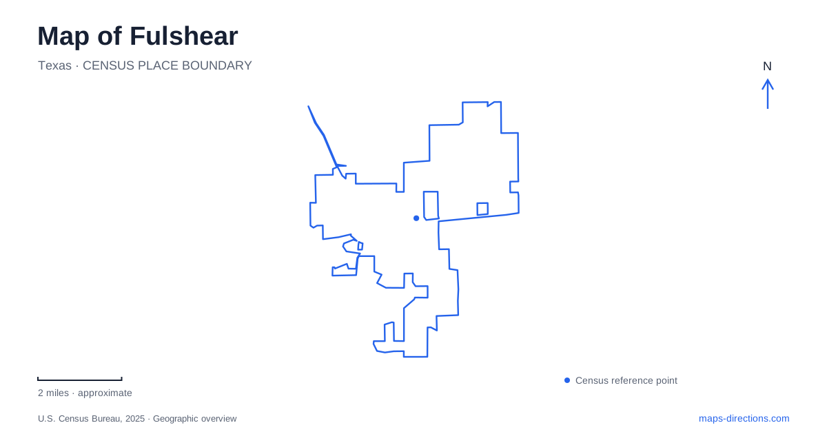
Street tiles load from OpenStreetMap when opened. The blue line shows the 2025 Census boundary.
- State
- Texas
- Population · July 2025
- 64,630
- Land area
- 12.8 sq mi
- Water area
- 0.1 sq mi
Fulshear has a much older center than its surrounding residential growth might suggest. The meeting of FM 359 and FM 1093 remains a useful starting point for understanding the town, but its public facilities no longer all sit beside that junction. A small downtown park, a community center and a substantial new library occupy different settings. Reading those places together reveals a community shaped first by agriculture and a railway, then by a widening suburban landscape.
A railway town within an older farming district
The nineteenth-century settlement developed around a plantation, cotton gin and flour mill before the railway changed its prospects. In 1888, a right-of-way was granted to the San Antonio and Aransas Pass Railway. The town was laid out in 1890, when a post office was also established. These dates distinguish the creation of a formal town from the earlier occupation and cultivation of the surrounding land.
The Texas State Historical Association describes families moving from nearby Pittsville after that community refused the railway. Fulshear therefore grew partly through a redistribution of settlement within an existing rural district. The transport connection concentrated shops and services in a new place rather than creating a populated landscape from nothing. That history gives the older center a different meaning from the large residential developments that now draw attention on regional maps.
A cemetery that preserves another part of the story
The Fulshear Black Cemetery, beside FM 1093, records a community history that cannot be reduced to the founding landowning family. Fort Bend County's historical documentation connects the burial ground to land formerly held by Emma Wilson and to a nearby Baptist congregation. The surviving cemetery is a significant place in its own right, not merely an accessory to the railroad narrative.
The county's account also describes a late-twentieth-century dispute over damage and access, followed by a legal determination of the cemetery association's ownership. This makes the small parcel an example of the work required to preserve historic places as adjacent land changes hands. On a map, its area may appear modest beside roads and development tracts; historically, its importance is much larger. It remains a burial ground, so an understanding of its history should be paired with respectful behavior rather than treating it as an ordinary recreational stop.
Small parks near the established center
Frances Smart City Park occupies a triangular parcel along FM 359 just north of downtown. The municipal parks inventory identifies it as less than an acre and names it for a former mayor and planning commissioner. Its setting is intimate: a roadside civic green beside homes, rather than a large sports complex or nature preserve. The inventory records shade trees, picnic facilities and a relocated historic switch house.
That scale is useful when comparing destinations. A prominent park label does not necessarily indicate a long walking circuit. Here the significance lies in the relationship between a small public space, the historic building and the older street frontage. A parks master plan also discusses possible improvements; proposals in such a document should not be mistaken for facilities already built. The established parcel and the ideas for its future are separate pieces of information.
Community center and pavilion use
The Irene Stern Community Center and adjoining park provide another civic gathering place. The city's published address is 6920 Katy-Fulshear Road. This is a distinct destination from the small downtown green, with an indoor event space and a separately managed pavilion. An invitation to a meeting or celebration needs to identify which facility is being used, even though both share the same broader site.
The city's rental rules make a useful distinction: reserving the pavilion does not make the playground private and does not include the community center. That arrangement explains how several activities can coexist on one mapped property. A park label alone gives less information than the actual facility name when attending an organized event here.
The library moved away from its former address
A particularly important map correction concerns the branch library. The new building at 6350 GM Library Road replaced the Bob Lutts branch formerly associated with the local area and Simonton. Its grand-opening celebration took place in January 2024. The county library system places the new site off Texas Heritage Parkway, north of FM 1093; an older directory entry for the previous branch can therefore send a reader to the wrong location.
The two-story building includes study and community rooms, areas for different age groups, a computer lab and an outdoor patio. Its larger program makes it a substantial public destination beyond the older downtown cluster. Together, these places give a map of Fulshear several distinct reference points: the railway-era junction, a historically significant burial ground, neighborhood-scale civic spaces and a newer library campus. Their differences tell more about the town than a single generic center marker.
Map and statistics: U.S. Census Bureau, 2025 Gazetteer, January 2025 generalized place boundaries and Vintage 2025 population estimates. Local references: Texas State Historical Association; Fort Bend County Historical Commission; City of Fulshear; Fort Bend County Libraries. Article prepared by Maps & Directions.