Map of Fullerton
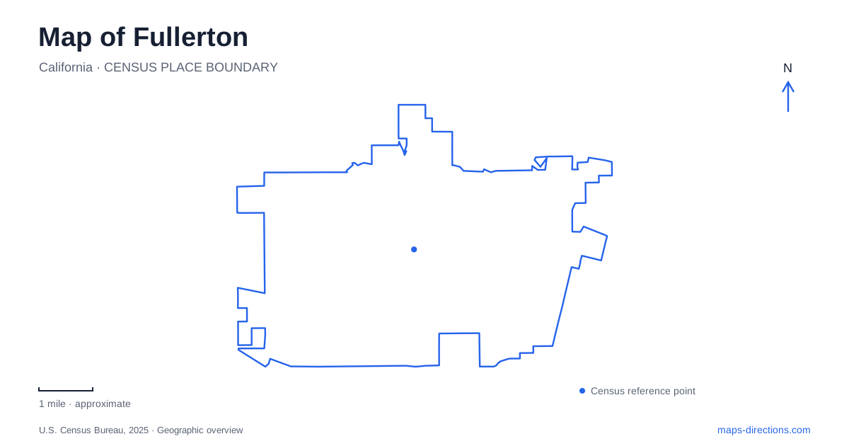
Street tiles load from OpenStreetMap when opened. The blue line shows the 2025 Census boundary.
- State
- California
- Population · July 2025
- 138,675
- Land area
- 22.4 sq mi
- Water area
- 0.0 sq mi
Fullerton can be understood through three connected landscapes: a railroad town center, northern greenbelts shaped by drainage and recreation, and a university setting that preserves traces of an agricultural past. The central streets remain a useful starting point, but the city's story extends well beyond them. Rail lines, creek corridors and former orchard land each explain a different part of the map. Following those features reveals more than treating every park and historic building as an isolated destination.
Harbor, Commonwealth and the original townsite
The city dates its founding to July 5, 1887, when Edward Amerige placed a stake at what is now Harbor Boulevard and Commonwealth Avenue. That intersection places the town's origin within a street pattern that remains recognizable. George and Edward Amerige's real estate venture depended on the arrival of the railroad, connecting the new settlement with a much wider Southern California economy.
Historic buildings give this early plan physical substance. The small Amerige Brothers real estate office originally stood at the northeast corner of Harbor and Commonwealth before moving to Amerige Park in 1920. The Dean Block, built in stages from 1899 to 1901 for a hardware business, records a later period of commercial consolidation. One building represents the business of establishing a town; the other reflects the shops and services needed as that town became established.
Downtown Fullerton therefore rewards attention to both original locations and surviving structures. A preserved building may have moved, while an ordinary-looking intersection may mark an important event. The distinction is especially useful here because preservation has involved relocating some landmarks rather than retaining every structure on its first parcel.
Railways remain part of the center
The station at 120 East Santa Fe Avenue anchors the transportation geography south of the main downtown blocks. Metrolink identifies it as a regional rail stop with connections to Amtrak services. The station's continuing use matters: this is working transportation infrastructure within a historic district, not merely a former depot displayed as an artifact.
The present Santa Fe depot was completed in 1930, replacing an earlier Victorian depot dating to 1888. Those two dates span the transition from the first years of the townsite to a more established railway center. The train museum's historical account connects the Amerige development directly with railroad land promotion. On a map of Fullerton, the rail corridor consequently serves as both a practical orientation line and an explanation for why the older business district developed where it did.
Brea Creek and the flood-control basin
Brea Dam occupies another kind of infrastructure landscape, upstream from the fork of Brea and Harbor boulevards. The Army Corps of Engineers began construction in July 1940 and completed the project in March 1942. Its purpose is flood control, and its drainage area includes Brea Creek and tributaries extending across roughly 22 square miles.
Below the dam, the creek passes south through the central business district before turning west toward Coyote Creek and the San Gabriel River system. This sequence ties the northern basin to downtown even where the watercourse is less visually prominent than major streets. The open land associated with the dam reflects the space required to manage runoff, rather than an accidental gap in urban development.
The city's Brea Dam Trail runs between the Leonard Andrews Tennis Center and the municipal golf course. Its presence shows how recreation occupies parts of a landscape whose underlying function remains water management. The trail should be understood within that basin setting, alongside the embankment, drainage channels and surrounding recreation grounds.
Greenbelts leading toward Laguna Lake
Northern Fullerton has a network of named trails rather than one uniform park. The Juanita Cooke Greenbelt connects the Laguna Lake area at Hermosa Drive and Santa Rosa Place with Berkeley Avenue and Harbor Boulevard. Hiltscher Park Trail meets that corridor from the direction of Bastanchury Road and West Valley View Drive.
Bud Turner Trail provides another connection between Laguna Lake and the Euclid Street–Valencia Mesa Drive area. These named segments help explain the relationships between neighborhoods and open space. Laguna Lake acts as a shared reference point, while the connecting corridors extend the recreational landscape into surrounding residential areas. Reading the trail names alongside street crossings makes their branching arrangement easier to understand than treating the entire network as a single circular route.
A former orchard and a relocated doctor's house
At the university, the arboretum began with a proposal in 1970 to transform land at the northern end of campus. A declining orange grove had occupied the site. Faculty, students and community supporters developed the project, turning a fragment of the area's agricultural landscape into an educational collection of plants.
Heritage House adds domestic and medical history to that setting. Dr. George Crook Clark built the Eastlake Victorian house in 1894, using it as both a family home and medical office. Originally at Amerige and Harvard, now Lemon Street, it faced demolition during a street-widening project. Preservation supporters arranged its move to the arboretum in December 1972; it opened to the public there in 1976.
The house's changed location brings together two strands of Fullerton history: the early town center and land later incorporated into the university. Its gardens, period structures and restored rooms make that connection tangible without implying that the entire surrounding campus preserves an untouched nineteenth-century landscape.
Map and statistics: U.S. Census Bureau, 2025 Gazetteer, January 2025 generalized place boundaries and Vintage 2025 population estimates. Local references: City of Fullerton; Fullerton Heritage; Metrolink; Fullerton Train Museum; US Army Corps of Engineers; California State University Fullerton. Article prepared by Maps & Directions.