Map of Frisco
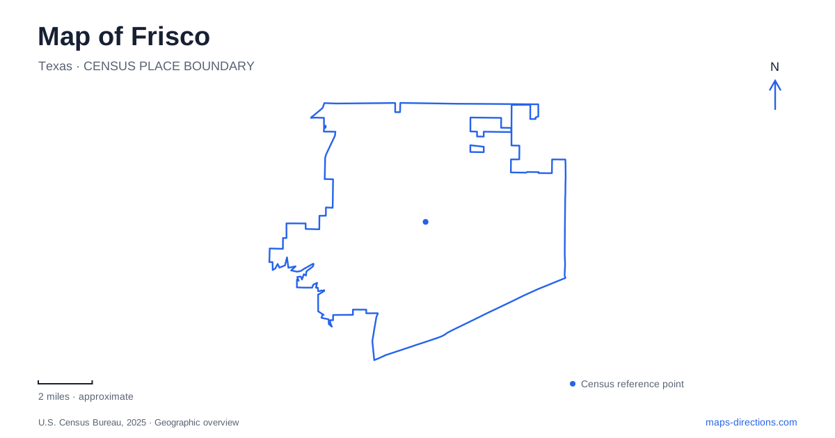
Street tiles load from OpenStreetMap when opened. The blue line shows the 2025 Census boundary.
- State
- Texas
- Population · July 2025
- 236,955
- Land area
- 68.6 sq mi
- Water area
- 0.5 sq mi
Frisco's map contains the traces of a railroad settlement alongside much newer sports and recreation destinations. The older town began where railway access and a dependable water supply could support steam locomotives. Today, the heritage village, civic plaza, professional football campus and northern prairie park occupy distinct sites. Their different layouts reveal how a small agricultural community expanded into a city with several centers of activity, each requiring a different scale of map to understand.
The railway chose the lower ground
The settlement began in 1902 under the name Emerson, when the St. Louis and San Francisco Railroad completed its line through the area. The city later incorporated in 1908. The railroad's need for water was a practical influence on the location: the city's historical account explains that the higher ground along Preston Ridge offered less suitable water access, so the line used lower ground to the west and a lake on Stewart Creek supplied locomotives.
That history helps explain why the older center developed where it did. Rail access drew businesses and residents from nearby settlements, while the townsite company divided land into lots. Frisco's origin was therefore tied to a working transportation corridor and the physical requirements of steam travel. The broad modern road network overlays a town whose first growth depended on rails, water and the surrounding farmland.
The heritage village on Page Street
The heritage museum is at 6455 Page Street. Its adjoining four-acre village brings together a depot, steam locomotive and caboose, blacksmith shop, houses, a church, schoolhouse and log cabin. The collection makes several parts of early community life visible within one compact site: transport, work, worship, education and domestic life.
A visit here involves moving between separate structures rather than remaining inside one museum building. The grounds contain public art as well as historic interpretation, and guided village tours include the Smith-Muse House, Crozier-Sickles House and Lebanon Baptist Church. The village plan is useful for understanding that arrangement, with outdoor space connecting the buildings and their different stories.
Civic space and public art
Simpson Plaza provides a nearby civic gathering place within Frisco Square. Completed in 2006 and named for former mayor Mike Simpson, the 1.7-acre plaza hosts community celebrations. Its public art refers directly to the ingredients of the town's growth.
One train sculpture was inspired by a photograph of the first train's arrival in March 1902. Another artwork uses railroad, water and agriculture symbols, while Fetching Water honors the women whose labor included pumping water by hand. These pieces make the plaza a place where present-day events and local history share the same public space. The square's broad pedestrian setting contrasts with the smaller historic-building cluster on Page Street.
A second place for railroad collections
The Museum of the American Railroad's daily visitor operations are at TrainTopia inside the Discovery Center, 8004 North Dallas Parkway, Suite 400. This is separate from the heritage museum's railway exhibit. TrainTopia is an indoor model-train display, while outdoor walking tours visit the rolling-stock collection.
Arrange railyard access with the museum rather than assuming visitors can explore the rolling-stock collection independently. That distinction affects how the site appears in a visitor plan: a large collection visible on an aerial map is not an independently accessible outdoor park. For people exploring Frisco's railway story, the Page Street museum and the Parkway collection complement one another but require separate stops and different kinds of visits.
The Cowboys campus
Ford Center at The Star is at 9 Cowboys Way. The 12,000-seat indoor stadium is connected with the Dallas Cowboys' headquarters and football operations, and its facilities are shared with the city and school district. Practice areas and the headquarters campus give this destination a much larger footprint than a conventional downtown venue.
The published guest approach to Ford Center uses the south entrance through the plaza. This is a concrete example of the campus's internal organization: a visitor reaches a public forecourt and stadium entrance within a broader operational site. The grounds' sports identity differs from the railway and civic settings, even though all contribute to the city's public image.
Prairie restoration in the northwest
Northwest Community Park opened in September 2026 along Teel Parkway north of Panther Creek Parkway. The 122-acre site combines recreation with restoration of Blackland Prairie. More than ten miles of dirt, gravel and paved routes serve walkers, runners and cyclists, with a pump track, skills area and Prairie Lookout adding specialized riding features.
The city's park information identifies prairie remnants in the northern portion and native planting throughout other programmed spaces. The nearby pond is a reclaimed-water pool associated with the PGA facilities, not a fishing pond. This landscape gives northern Frisco a destination whose principal story is the land itself: prairie habitat and contemporary recreation are being managed together within an area of substantial development.
Map and statistics: U.S. Census Bureau, 2025 Gazetteer, January 2025 generalized place boundaries and Vintage 2025 population estimates. Local references: City of Frisco; Museum of the American Railroad; The Star. Article prepared by Maps & Directions.