Map of Fresno
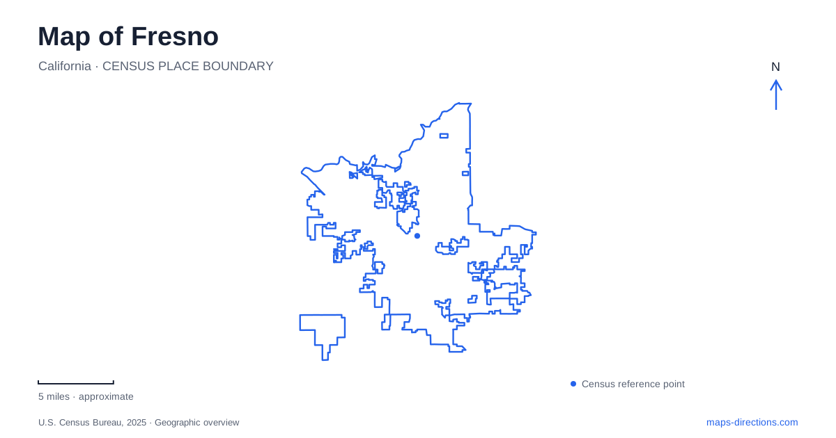
Street tiles load from OpenStreetMap when opened. The blue line shows the 2025 Census boundary.
- State
- California
- Population · July 2025
- 555,549
- Land area
- 115.9 sq mi
- Water area
- 1.2 sq mi
Fresno's map brings together an older commercial center, neighborhoods shaped by rail and suburban growth, and a northern park landscape beside the San Joaquin River. These areas tell different stories about the city's development. Fulton Street provides a downtown reference, F Street helps locate historic Chinatown, and Olive Avenue anchors the Tower District. Farther north, Woodward Park changes the map from urban blocks to trails, gardens, and river bluffs. Keeping those settings distinct is more useful than treating every destination as part of one central district.
Fulton Street has changed its role twice
Fulton Street became a six-block pedestrian mall in 1964 and reopened to vehicle traffic in 2017. The reconstruction introduced two-way traffic, on-street parking, and broad sidewalks while conserving and returning the public artwork. This history explains why older descriptions use “Fulton Mall” while present-day maps show an ordinary street connection.
The change also affects how the corridor should be read. Its pedestrian-mall history remains visible through public art and the attention given to walking space, even though it again carries vehicles. An itinerary through downtown Fresno can therefore follow a street that combines several periods of urban design rather than expecting either a fully enclosed shopping mall or an exclusively pedestrian precinct.
The city's downtown material identifies Chukchansi Park, architectural heritage, and the Brewery District as additional parts of the central area. These are separate destinations within the broader downtown pattern. Fulton offers a useful organizing line, but cross streets and individual addresses still explain how the surrounding blocks fit together.
Chinatown follows the railway's urban geography
The Fulton Corridor Specific Plan describes Chinatown as separated from the Fulton District by the Union Pacific tracks. Within the historic area, F Street serves as the principal street, with a particularly recognizable stretch between Tulare and Inyo streets. This gives the neighborhood a different spatial structure from the downtown corridor on the other side of the tracks.
Its history also extends beyond the name “Chinatown.” The city's account records Chinese, Japanese, Italian, German, African American, Armenian, Basque, and Mexican communities in the area. The railroad drew workers and helped shape the neighborhood's early development. On a Fresno map, the rail corridor is therefore both a physical dividing feature and part of the explanation for the surrounding settlement.
Reading F Street and the rail line together makes the district easier to understand. The neighborhood is not simply an isolated collection of historic buildings; its street pattern reflects a relationship with the transportation infrastructure beside it.
Olive Avenue supplies the Tower District's landmark
The Tower Theatre stands at 815 East Olive Avenue. Opened in 1939 as a movie theater, it was the city's first suburban cinema, according to the official county visitor bureau. Its tower supplies the district with a recognizable building as well as its name.
This origin helps explain the neighborhood's relationship to downtown. The theater represented entertainment serving an expanding residential city, rather than another venue inside the original commercial core. The surrounding district continues to contain shops, dining, and arts destinations. Nearby public art at Hedges and Wishon provides another named intersection within the neighborhood.
For Fresno visitors, Olive, Wishon, and the theater create a more concrete orientation than the district label alone. They reveal a neighborhood organized around commercial streets within a residential setting, with the landmark acting as an anchor rather than occupying the entire district.
Woodward Park belongs to the river landscape
Woodward Park sits on the south bank of the San Joaquin River between Highway 41 and Friant Road. Its development followed Ralph Woodward's 1968 bequest for a regional park and bird sanctuary. The park now covers approximately 300 acres, substantially larger than a small neighborhood green.
The Lewis S. Eaton Trail follows the park's perimeter and leads toward the river bluffs. This places the park within a wider landscape than its internal recreation areas alone suggest. A map showing only playgrounds and parking would miss the relationship with the river, while a regional river map could miss the particular park paths that reach its viewpoints.
The Shinzen Japanese Friendship Garden provides a more concentrated destination inside the park. Its Ume Grove, Double Moon Bridge, and bonsai collection belong to a designed garden setting, distinct from the longer trail along the bluff. Choosing between a garden visit and a trail outing therefore means selecting different parts of the same large park.
A city map and a regional park route serve different trips
Fresno is often used as a starting point for travel toward the Sierra Nevada, but the national parks are separate destinations beyond the urban landscape. National Park Service directions distinguish the Kings Canyon approach on Highway 180 from the Sequoia approach on Highway 198. That distinction is more useful than a general “national parks” marker.
Within the city, the most revealing map sequence remains local: the redesigned Fulton corridor, the railway relationship of Chinatown, the suburban theater district, and the river setting of Woodward Park. Each has a clear geographic identity. A regional trip can begin from that local understanding without collapsing the city and the mountain parks into one destination.
Map and statistics: U.S. Census Bureau, 2025 Gazetteer, January 2025 generalized place boundaries and Vintage 2025 population estimates. Local references: City of Fresno; Fresno Clovis Convention and Visitors Bureau; National Park Service. Article prepared by Maps & Directions.