Map of Framingham
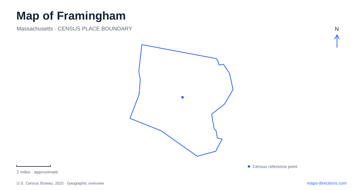
Street tiles load from OpenStreetMap when opened. The blue line shows the 2025 Census boundary.
- State
- Massachusetts
- Population · July 2025
- 73,021
- Land area
- 25.0 sq mi
- Water area
- 1.5 sq mi
Framingham has more than one center, and its transportation history explains why. The old Common developed around civic institutions and the Boston–Worcester Turnpike. The arrival of the railroad in 1834 shifted commercial activity toward the southern downtown. Saxonville adds another recognizable neighborhood associated with the Sudbury River and former industrial activity. A useful map preserves these separate identities instead of treating the word center as a single, interchangeable destination.
The Common and the railroad downtown
The Centre Common has served as a religious and civic gathering place since the eighteenth century. The Village Hall, dating to 1834, anchors this historic setting. Route 9 follows the broad transportation corridor associated with the earlier Boston–Worcester Turnpike, whose stagecoach traffic helped the Common become a commercial stopping place before rail travel changed the geography of business.
The Danforth Art Museum occupies 14 Vernon Street at the Common. Its visitor entrance and parking are behind the building, approached from Grove Street, and the museum is on the second floor. That arrangement reflects a cultural institution fitted into an established district rather than a large standalone destination with an entrance facing its named street.
Downtown Framingham is a separate place. The museum describes the commuter rail station as roughly 2.3 miles away, a useful indication of the separation between the railroad district and the Common. Arriving by train therefore does not place a visitor immediately beside the museum or the Village Hall. The historical shift from turnpike commerce to railroad commerce remains visible in the distribution of destinations today.
Hospital grounds transformed into parkland
Cushing Memorial Park on Dudley Road reveals another kind of change in land use. During World War II, this was a military hospital named for neurosurgeon Dr. Harvey Cushing. Its specialty was treating injuries to the brain, spine, and peripheral nervous system. After the war, the property became a state center for geriatric care and research before much of the site evolved into public open space.
The park's form still reflects that institutional past. Former hospital roads became broad pedestrian promenades, and open lawns occupy former building footprints. The memorial chapel, Academy Building, and Cushing Building remain part of the setting. Gardens, a playground, and the September 11 memorial now sit within a landscape whose generous circulation routes were created for a very different purpose.
Nearby Farm Pond provides another Dudley Road recreation destination. Its facilities include boat access, fishing opportunities, a skate park, a dog park, and walking routes. In this part of Framingham, the relationship between a former medical campus and a pond-side recreation area creates a varied public landscape without requiring a journey into the more rural northern woods.
Saxonville and the Sudbury River
The Carol Getchell Nature Trail follows the west bank of the Sudbury River. It runs north and south through a mixture of path, boardwalk, and bridge sections, with connections toward neighborhood schools and Edwards Church. At the southern end, Sudbury Landing provides a view toward the historic Danforth Bridge. Little Farms Road supplies a northern access point and a canoe-launch location.
This river-oriented route differs from the Cochituate Rail Trail. The latter is a shared-use path connecting Saxonville with Natick Center over approximately 3.7 miles. Its former railroad alignment provides a regional connection, while the Getchell route follows the river landscape more closely. Both belong in a map of Framingham, but they offer different experiences of the same broader area: one traces a waterway, the other an adapted transportation corridor.
Northern fields, forests, and a botanical garden
Callahan State Park extends across more than 800 acres of fields, ponds, and woodland, with about seven miles of marked trails. The state lists its address on Edmands Road. Hiking, horseback riding, and mountain biking share this larger landscape, and some acreage remains dedicated to permitted agricultural use. The combination of open fields and woods distinguishes it from a compact municipal playground or a shoreline path.
Garden in the Woods offers a more focused landscape at 180 Hemenway Road. Native Plant Trust maintains this 45-acre botanical garden devoted to New England native plants. Glacially shaped ridges and valleys, a brook, pond, and wetlands give the collection varied settings. Its principal crushed-gravel loop is about a mile long, with steep terrain at the entrance and exit.
Together, these places show the range within Framingham: historic civic grounds, a railroad downtown, reused hospital land, riverside neighborhoods, and substantial northern open space. Their different origins explain both what appears on the map and why each area rewards a different kind of visit.
Map and statistics: U.S. Census Bureau, 2025 Gazetteer, January 2025 generalized place boundaries and Vintage 2025 population estimates. Local references: Centre Common Cultural District; Danforth Art Museum at Framingham State University; City of Framingham; City Conservation Commission; Town of Natick; Massachusetts DCR; Native Plant Trust. Article prepared by Maps & Directions.