Map of Fountain Valley
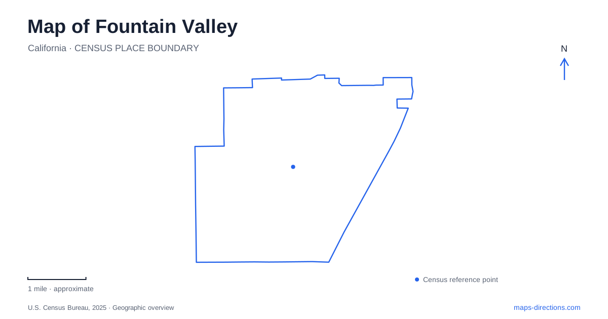
Street tiles load from OpenStreetMap when opened. The blue line shows the 2025 Census boundary.
- State
- California
- Population · July 2025
- 55,508
- Land area
- 9.1 sq mi
- Water area
- 0.0 sq mi
Fountain Valley is easiest to understand through two contrasting shapes: the large rectangle of Mile Square Park and the diagonal course of the San Diego Freeway. Around them, a street grid organizes residential neighborhoods, civic buildings, and the older Talbert district. This is an inland Orange County community, with Huntington Beach and Costa Mesa among its southern neighbors. A useful local map brings those different scales together, showing both the broad regional approach and the smaller roads that lead to a ball field, historic building, or library.
Four streets around a major landmark
Mile Square occupies the block framed by Edinger Avenue on the north, Warner Avenue on the south, Brookhurst Street on the west, and Euclid Street on the east. Those four names are particularly useful orientation points. They describe the edges of a very large recreation landscape, rather than a single compact neighborhood park. The county's regional park address is 16801 Euclid Street; the municipal Recreation Center and Sports Park is at 16400 Brookhurst Street, on the opposite side.
The distinction explains why two people heading to Mile Square can approach from different directions. The county map locates lakes, picnic areas, archery facilities, paved paths, and a nature area. The city recreation complex groups athletic fields and indoor activities along the western side. Someone meeting a softball team therefore needs the field location, while a visitor arranging a lakeside picnic will use a different part of the square. Brookhurst and Euclid provide the clearest first division between these activities.
How an airfield became parkland
The enormous open block in Fountain Valley has a history that differs from the subdivisions around it. During World War II, the Navy acquired agricultural land here for a military airfield. Aviation training continued after the war, including helicopter operations. The county leased perimeter land in 1967 as it developed a regional park system for a rapidly urbanizing area.
Public recreation arrived in stages. The first park phase opened in 1970, further facilities followed in 1973, and military operations in the central airfield ended in 1974. That gradual conversion helps explain why the landscape contains distinct recreation areas with different origins. It was assembled over time around a former military installation, rather than designed all at once as a neighborhood playground. Current expansion projects continue that evolution, so a historical airfield plan and a present recreation map serve different purposes.
Talbert and the agricultural landscape
Long before incorporation in 1957, drainage shaped the settlement. The city history describes a wet landscape known locally as Gospel Swamps, later drained with canals so that crops could be grown. Artesian wells supplied the name Fountain Valley. Sugar beets, beans, barley, and wheat were among the early agricultural uses, giving the present suburban grid a rural predecessor.
Talbert Avenue preserves the name of the older farming community. The city's cultural resources assessment identifies the historic center near Talbert Avenue and Bushard Street, with Brookhurst another established road through the agricultural area. The arrival of Interstate 405 changed the setting by connecting it more closely to the expanding metropolitan region. On a map, following Talbert across these roads offers a way to connect the older settlement pattern with later freeway-oriented development.
Small historic spaces near civic buildings
Heritage Park offers a more intimate introduction to Fountain Valley than the vast Mile Square landscape. It stands at 17641 Los Alamos Street, west of the library. The municipal inventory lists a historic Japanese bath house and real estate office, alongside a replica fire house, gazebo, reflecting pond, and veterans memorial. The mixture matters: some structures preserve older local uses, while others interpret or commemorate the past.
Los Alamos Street also gives access to Los Alamos Park at 17901. Despite the shared street name, that recreation space and Heritage Park have different purposes. City Hall is separately addressed at 10200 Slater Avenue, while the Center at Founders Village is on Bushard Street. Plotting these civic destinations individually reveals a group of public places spread through ordinary city blocks, rather than a single enclosed civic campus.
Reading the neighborhood scale
A map of Fountain Valley becomes more useful when the large park stops dominating the view. Ellis Park on Ellis Avenue, Plavan Park on Warner Avenue, and smaller spaces on residential streets show another layer of public recreation. Their distribution gives local trips a different pattern from journeys to regional sports or picnic facilities. Begin with the major street grid, identify the relevant side of Mile Square or the Talbert corridor, then examine the surrounding blocks. That sequence makes the area's agricultural history, suburban streets, and regional park understandable as parts of one landscape.
Map and statistics: U.S. Census Bureau, 2025 Gazetteer, January 2025 generalized place boundaries and Vintage 2025 population estimates. Local references: City of Fountain Valley; OC Parks. Article prepared by Maps & Directions.