Map of Fort Worth
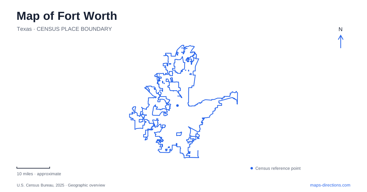
Street tiles load from OpenStreetMap when opened. The blue line shows the 2025 Census boundary.
- State
- Texas
- Population · July 2025
- 1,028,117
- Land area
- 352.0 sq mi
- Water area
- 8.2 sq mi
Fort Worth is best approached as a set of recognizable districts linked by streets, rail and the Trinity River corridor. Downtown and Sundance Square, the Stockyards, and the Cultural District each have their own visitor maps. That separation is useful rather than inconvenient: it makes clear that a trip to one does not automatically arrive at the others. Start by identifying which district contains each stop, then compare the connections between those districts before planning the final walk.
Three visitor maps mean three arrival areas
The tourism bureau publishes distinct walking maps for downtown and Sundance Square, the Stockyards, and the Cultural District. Each map concentrates on the streets and entrances most useful within its area. A regional overview can establish their relationship, but it cannot provide the same detail for every attraction at once. Use the district map after the broader location is settled.
A Fort Worth itinerary becomes easier to follow when those district headings remain attached to individual destinations. A downtown restaurant, a Stockyards venue and a museum are not simply three pins under one city label. Grouping them by area helps reveal when a transfer or drive is part of the plan. It also makes a meeting instruction clearer for someone who has not seen the entire itinerary.
The Cultural District sits west of downtown
The official neighborhood guide places the Cultural District a few miles west of the center. Its museum concentration provides a strong geographic anchor, but a particular institution still needs its own entrance and parking information. A district label should narrow the search, not replace the name of the museum. The neighboring streets and facility entrance are the final checks that turn a broad cultural outing into a usable route.
This is also an area where a visitor can combine indoor destinations with a river-side park visit. The city's description places Trinity Park in the Cultural District and identifies its relationship with nearby museums and the botanic garden. That proximity makes the park relevant to an area map, but it does not imply that every path inside it leads to the same museum entrance or that every attraction shares a parking facility.
Trinity Park follows the Clear Fork
The city traces Trinity Park's geography to land along the Clear Fork of the Trinity River. Its walking and cycling paths connect with other river parks and public spaces. The river is therefore an organizing feature for a recreational outing rather than simply a line crossed on the way to a destination. Inspect the bank and access point serving the intended park activity.
For Fort Worth trail planning, distinguish the entire Trinity Trails network from a specific starting place in Trinity Park. The network extends far beyond a single park, while a picnic, playground visit or short walk needs a much more precise point. Saving the named facility or trail access keeps the outing local to its intended area instead of allowing a map search to choose an arbitrary point along the wider river corridor.
A Stockyards visit has its own internal geography
The Stockyards district publishes a detailed directory map of its venues and visitor destinations. Use it to establish the relationship between a booked attraction, the surrounding streets and the place where the group will meet. A search for the historic district alone may identify a central label without showing the entrance associated with a particular venue or reservation.
Keep that district map separate from the downtown walking map when arranging arrival instructions. The distinction is especially helpful when one person is driving and another is using transit: both can aim for the same named meeting place without assuming that the nearest station, parking area and attraction entrance are one point. The district's identity gives the outing context; its venue addresses provide the practical detail.
TEXRail reaches a particular airport terminal
Trinity Metro describes TEXRail as a route from downtown through northern neighborhoods, North Richland Hills and Grapevine to DFW Airport Terminal B. The terminal letter is essential information. A general airport label is less precise than the actual station name, particularly when a traveler must continue to a different airline terminal. Preserve that distinction in the saved journey.
Fort Worth Central Station is identified by the operator as a TEXRail stop and a transfer location. Treat the station as one stage of a journey rather than the automatic endpoint for every downtown address. Compare the destination's actual street with the station and any onward connection. The rail route describes regional access; the street map describes the last part after leaving the train.
A coherent Fort Worth map plan therefore moves from district to destination: choose downtown, the Stockyards or the Cultural District; identify the named venue or river access; and then match the arrival mode. Airport trips require an additional terminal check. These geographic distinctions give the itinerary a clear structure without relying on a promised travel time or assuming that all visitor attractions cluster around one downtown pin.
Map and statistics: U.S. Census Bureau, 2025 Gazetteer, January 2025 generalized place boundaries and Vintage 2025 population estimates. Local references: Visit Fort Worth; City of Fort Worth; Fort Worth Stockyards; Trinity Metro. Article prepared by Maps & Directions.