Map of Fort Wayne
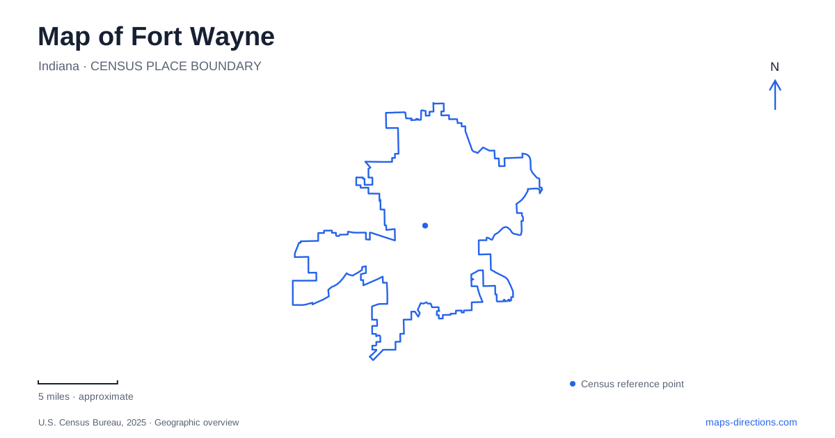
Street tiles load from OpenStreetMap when opened. The blue line shows the 2025 Census boundary.
- State
- Indiana
- Population · July 2025
- 275,203
- Land area
- 111.8 sq mi
- Water area
- 0.3 sq mi
Fort Wayne's geography is inseparable from the St. Marys, St. Joseph and Maumee rivers. Their meeting area shaped Indigenous life, trade, military settlement and later transportation. Today's riverfront parks add another chapter, turning parts of that historic corridor into places for walking, gathering and getting onto the water. Beyond downtown, older parks and the Chief Richardville House show that the river story extends into neighborhoods and landscapes outside the central business district.
Trade routes before the modern riverfront
The Chief Richardville House at 5705 Bluffton Road was built in 1827 for Miami leader Jean Baptiste de Richardville. His mother, Tacumwah, was also a significant leader and entrepreneur. Their trading activity relied on control of the long portage between the St. Marys and Little River, connecting the local river system with the Wabash watershed.
That portage is a key to understanding the area's importance. Travel and commerce depended not only on navigable water but also on the land crossing between water systems. The Greek Revival house near the St. Marys gives Fort Wayne a physical connection with this history. Federal treaty provisions contributed money toward its construction, while Richardville paid much of the total cost himself. National Historic Landmark designation in 2012 recognized the property's significance. It presents an Indigenous political and commercial history that is essential to understanding the city before its later canals, railroads and factories.
Promenade Park reconnects downtown with the water
Promenade Park opened in 2019 as a new public riverfront space. Its address is 202 West Superior Street, and its features extend across a setting closely associated with the historic Wells Street Bridge. A 560-foot tree-canopy trail connects the Wells Street and Harrison Street bridge areas, giving visitors an elevated perspective on the river and its banks.
The park includes a children's canal, playground, gathering spaces and river access. Accessibility was incorporated into its design through wider paths, tactile paving features and facilities for transferring between wheelchairs and watercraft. These details are part of the park's geography: they determine how different visitors can move between streets, landscape and river. The result is a new way to experience the historic waterways of Fort Wayne, with recreation occupying a corridor that once carried other kinds of movement and work.
Civic history in a former city building
The History Center occupies the former City Building, completed in 1893. Its reuse as a museum allows local history to be interpreted inside a building that originally housed civic functions. Nearby Barr Street Market has served as a public meeting place between town and countryside since 1837.
These sites add a useful counterpart to the riverfront. Trade did not happen only at docks or along a portage; markets also brought agricultural producers and urban residents together. Government buildings organized another part of civic life. Reading the museum and market alongside the rivers reveals several overlapping networks within Fort Wayne: commerce, administration and transportation. Their significance comes partly from ordinary, repeated activity over generations, rather than only from exceptional events.
Foster Park follows the St. Marys
Foster Park began with land donated by Samuel and David Foster and their families in 1912. The property extended along the St. Marys River and grew through later acquisitions. Its present features include floral gardens, wooded areas, sports facilities and paths, with a Rivergreenway loop of approximately two miles.
The main park address is on Old Mill Road, while Foster Park West uses the Winchester Road side of the larger complex. That division helps explain the spread of facilities: soccer fields and the dog-play area are associated with the western extension, while other gardens and recreation spaces occupy the original park landscape. The river remains a defining element throughout this history. What began as a substantial gift of wooded riverbank became a broad public recreation area through successive additions and improvements.
Lakeside's formal garden setting
Lakeside Park offers another style of public landscape. Its rose garden combines planted beds, climbing roses, a pergola and reflecting pools. Municipal garden materials describe a collection of more than 1,500 roses, set within a formal composition supported by seasonal flowers.
The garden differs from the linear experience of following a river trail. Its design encourages attention to a concentrated arrangement of water, planting and structures. That contrast adds variety to the parks of Fort Wayne. A visitor can read the city's outdoor spaces through both inherited river geography and deliberate garden design. The portage, historic house, downtown riverfront, civic buildings and older parks together explain a place whose public landscape has developed through many different uses of land and water.
Map and statistics: U.S. Census Bureau, 2025 Gazetteer, January 2025 generalized place boundaries and Vintage 2025 population estimates. Local references: Visit Fort Wayne; The History Center; City of Fort Wayne; Fort Wayne Parks and Recreation. Article prepared by Maps & Directions.