Map of Fort Smith
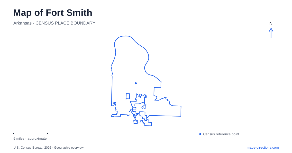
Street tiles load from OpenStreetMap when opened. The blue line shows the 2025 Census boundary.
- State
- Arkansas
- Population · July 2025
- 90,855
- Land area
- 64.2 sq mi
- Water area
- 4.2 sq mi
Fort Smith begins as a map story at the meeting of the Arkansas and Poteau rivers. Belle Point offered a position above those waterways, while the settlement that grew nearby eventually developed warehouses, homes and commercial streets. The surviving places do not belong to a single frontier moment. Military occupation, forced Indigenous removal, federal courts, trade and later preservation each left different traces. A useful map separates those layers before connecting them into a downtown visit.
Two forts rather than one surviving enclosure
The first military post was established in 1817 at Belle Point and occupied until 1824. Its location is represented by stabilized foundations and archaeological remains, not a complete standing wooden fort. The army briefly returned in the following decade. A second post began in 1838 nearby, developing into an important supply center before the military departed permanently in 1871.
The National Park Service interprets both sites. Understanding their separation prevents a common reading error: the substantial buildings around the later post are not the structures of the original enclosure. The second fort's history also challenges an exclusively defensive interpretation. Its supply role linked river transportation with more distant posts, and both Union and Confederate forces occupied it during the Civil War. The river confluence explains why distribution and movement mattered here alongside military authority.
A building that changed from barracks to courthouse
At Fort Smith, the surviving courthouse complex embodies reuse. The barracks was completed in 1846, damaged by fire in 1849 and rebuilt. After the army left, the federal court occupied the former military site. The visitor center and exhibits now interpret the court, jail and military periods within that larger setting.
The commissary is another building whose functions changed. It received and stored supplies, while later uses included court-related rooms and domestic accommodation. Judge Isaac Parker maintained an office there, and the Hammersly family lived on the first floor during the court era. Reading only a label such as warehouse or courtroom would therefore miss part of the building's history. The present museum landscape combines original fabric, restored spaces, archaeological evidence and recreated features; it should not be mistaken for a single untouched nineteenth-century scene.
The river also records forced removal
Fort Smith National Historic Site preserves a place associated with the forced removal of Indigenous peoples, including the Cherokee. The Trail of Tears overlook connects that history to an actual river setting. The landscape is consequently more than scenery around a collection of military artifacts. It witnessed policies that displaced communities and reshaped relationships across the region.
The park's interpretive framework includes the consequences of federal policy for Native people as well as soldiers, officials and settlers. For a visitor, the river overlook and courthouse offer different perspectives on the same concentration of government power. Allowing time for both helps avoid reducing the site to stories of notorious defendants or executions. The documented geography places those stories within a wider and more difficult history.
A hardware warehouse with a preservation mission
The Fort Smith Museum of History occupies the Atkinson-Williams Warehouse, a commercial building dating to 1906. The museum moved into this home in 1979, but its institutional roots reach back to 1910. Its original purpose was to protect the commissary from demolition. That rescued building is now part of the national historic site, while the museum's own collection is housed separately.
This relationship matters when planning a stop: the museum and federal historic site have connected histories but are distinct destinations. The warehouse itself adds evidence of a later commercial city beyond the military story. Its collection preserves objects associated with the surrounding region, and caring for the building is part of that work. A map of the neighboring sites can therefore double as a map of how local preservation evolved.
Domestic life beyond the fort grounds
The Clayton House on North Sixth Street adds a residential dimension to Fort Smith. William Henry Harrison Clayton, prosecutor in Parker's court, enlarged an older house and moved his family into it in 1882. The family remained until 1897. Its Italianate appearance, fireplaces, woodwork and substantial staircase convey a different environment from the institutional rooms of the court.
Preservation here required deliberate intervention. Residents organized after a demolition threat in 1969, and restoration followed during the 1970s. The kitchen and servants' quarters were reconstructed on their original foundation, a distinction worth retaining when describing the property. Its Belle Grove setting extends a history-focused itinerary into a neighborhood rather than keeping every stop inside the national park. Taken together, the confluence, fort remains, adapted courthouse, warehouse museum and restored residence explain several successive forms of the city within a relatively concentrated area.
Map and statistics: U.S. Census Bureau, 2025 Gazetteer, January 2025 generalized place boundaries and Vintage 2025 population estimates. Local references: National Park Service; Fort Smith Museum of History; Clayton House. Article prepared by Maps & Directions.