Map of Fort Pierce
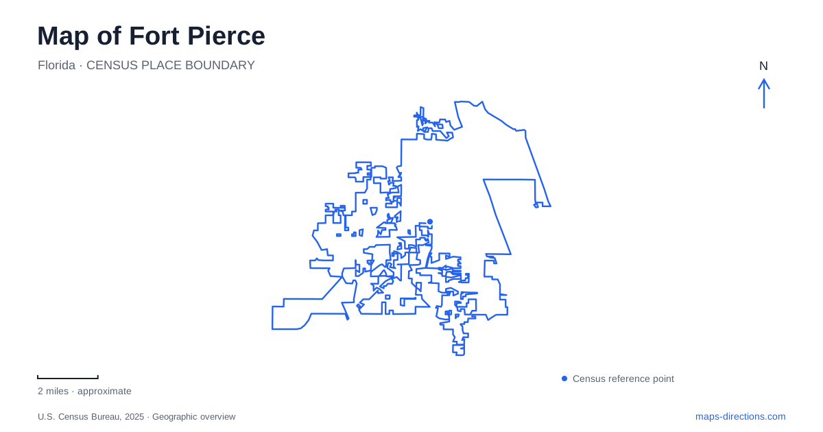
Street tiles load from OpenStreetMap when opened. The blue line shows the 2025 Census boundary.
- State
- Florida
- Population · July 2025
- 51,737
- Land area
- 24.7 sq mi
- Water area
- 6.0 sq mi
Fort Pierce faces the Indian River Lagoon, with Atlantic beaches beyond the barrier islands and an inlet connecting the two waters. This arrangement is the essential starting point for a local map. Downtown's waterfront is a lagoon shore, while the ocean beach is a different destination across the water. Mainland cultural landmarks, causeway museums, and coastal parks each occupy a distinct part of this layered landscape.
Downtown beside the lagoon
The city marina is at 1 Marina Way in the downtown area. Established in 1937, it connects the commercial center with recreational boating and the lagoon. Its docks belong to a broader waterfront setting that also includes public gathering areas and cultural destinations. A visitor can use the marina as a geographical reference without assuming that a downtown waterfront visit must involve a boat trip.
Veterans Memorial Park is listed at North Indian River Drive and Seaway Drive. The city's facility inventory groups the Backus Gallery, Manatee Center, Seven Gables House, River Walk Center, and memorial features with this park setting. These names reveal how the mainland waterfront combines art, environmental interpretation, civic remembrance, and recreation. They also give a more useful picture of the shore than a single uninterrupted promenade line.
Seaway Drive and two neighboring museums
Seaway Drive leads to a particularly informative pair of destinations. The St. Lucie County Regional History Center is at 414 Seaway Drive in Museum Point Park, overlooking the Indian River. Its displays address Indigenous history, fishing, agriculture, and the growth of the surrounding community. The furnished Gardner House adds a domestic setting to the exhibits, bringing an early twentieth-century home into the historical account.
The county aquarium is next door at 420 Seaway Drive on South Hutchinson Island. Its Smithsonian Marine Ecosystems Exhibit interprets habitats of the lagoon and nearby coastal waters through living displays. The main coral reef exhibit came from the Smithsonian's National Museum of Natural History, and the aquarium opened in 2001. This makes the two neighboring institutions complementary: one examines the area's human history, while the other explains the aquatic environments visible around them.
For a map of Fort Pierce, their consecutive addresses provide a clear island-side grouping. It is possible to understand the museums together without confusing them with downtown's mainland gallery and observation center. Seaway Drive supplies the organizing road, and the lagoon supplies the shared landscape.
The north side of the inlet
Fort Pierce Inlet State Park is reached from 905 Shorewinds Drive on the north side of the inlet. It contains an ocean beach, dunes, and places to observe the coastal environment. The inlet lies along the park's southern side, so the open Atlantic shore and the channel edge are different parts of the same park landscape. That distinction matters when choosing between beach time and watching activity along the waterway.
Dynamite Point within the park was used for training Navy frogmen during World War II and is now associated with bird-watching. This adds a military history to a place whose present character is largely natural. The park's land and water should therefore be read in several directions: ocean to the east, inlet to the south, and the lagoon environment inland. The result is a more specific coastal geography than simply following an undifferentiated beach label.
Zora Neale Hurston's mainland places
The Zora Neale Hurston Dust Tracks Heritage Trail extends the cultural map of Fort Pierce into its mainland neighborhoods. Dedicated in 2004, the trail identifies places associated with the author and anthropologist's final years. Her house is listed at 1734 Avenue L, Lincoln Park Academy at 1806 Avenue I, and the Garden of Heavenly Rest gravesite at 17th Street and Avenue S.
These sites represent a home, a school connection, and a burial place rather than three interchangeable monuments. The trail also identifies the branch library on Avenue D and a kiosk at Seven Gables House on Indian River Drive. That waterfront kiosk creates a useful relationship between a downtown introduction and the neighborhood locations where the deeper story unfolds. The heritage route is a sequence of historical places across streets, not a continuous recreational path along the lagoon.
A city read through different shores
A first visit to Fort Pierce can be organized around these geographical groupings: the mainland waterfront, the Seaway Drive museum pair, the inlet's north-side park, and Hurston's neighborhood landmarks. Each offers a different subject and scale of exploration. Keeping lagoon, ocean, road crossings, and mainland streets distinct makes the map both more accurate and more revealing about the community's history and coastal setting.
Map and statistics: U.S. Census Bureau, 2025 Gazetteer, January 2025 generalized place boundaries and Vintage 2025 population estimates. Local references: City of Fort Pierce; St. Lucie County; Florida State Parks. Article prepared by Maps & Directions.