Map of Fort Myers
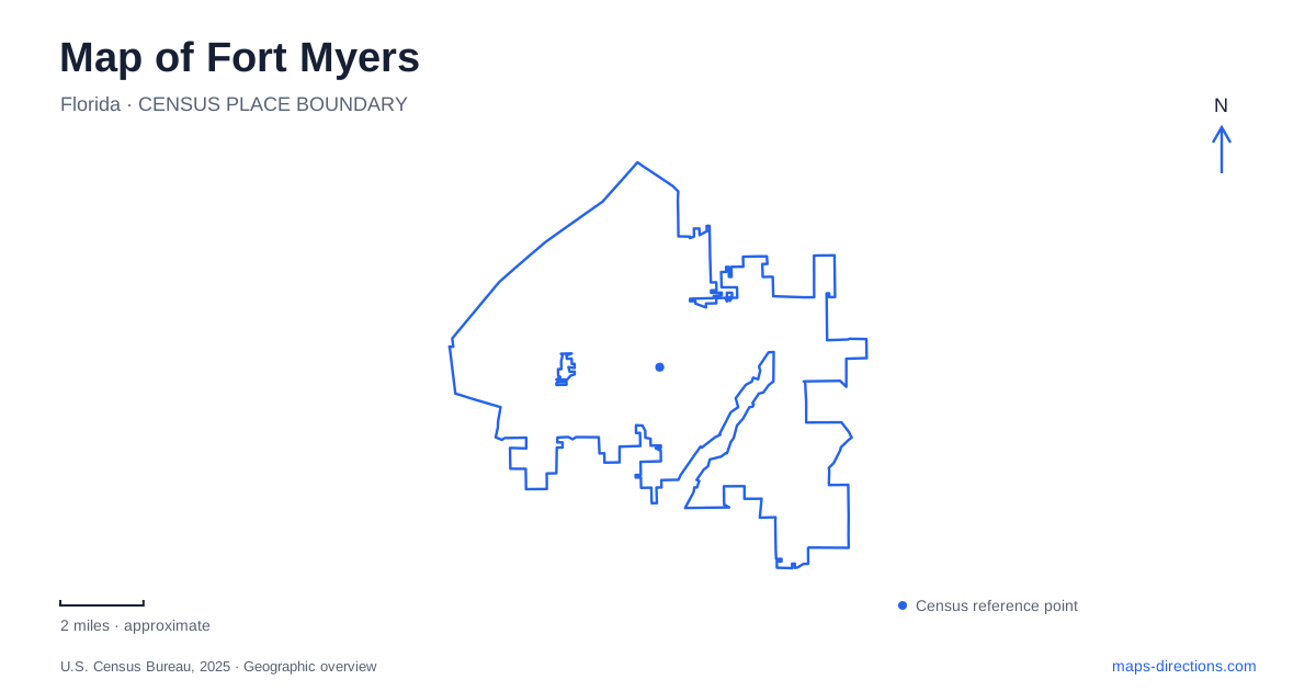
Street tiles load from OpenStreetMap when opened. The blue line shows the 2025 Census boundary.
- State
- Florida
- Population · July 2025
- 101,581
- Land area
- 40.1 sq mi
- Water area
- 9.2 sq mi
Fort Myers has a riverfront center, not a downtown on the Gulf beach. The Caloosahatchee shapes the River District and the historic estates along McGregor Boulevard, while inland wetlands and the Orange River area introduce other kinds of water landscapes. First Street, Hendry Street, McGregor Boulevard, and Palm Beach Boulevard provide useful references for these settings. Reading them together helps distinguish the central city from the wider coastal destination often described under the same regional name.
First Street and the River District
The historic River District combines brick-paved streets, public art, shops, restaurants, and cultural buildings near the Caloosahatchee. First Street is a principal commercial reference, with Hendry and Dean streets helping organize the smaller downtown blocks. Bay Street and Edwards Drive add locations closer to the waterfront activity.
The local district association's approach directions reveal how the street network changes at the center. Palm Beach Boulevard carries State Road 80 toward downtown, where the route becomes First Street. From Martin Luther King Jr. Boulevard, Hendry Street provides a connection into the central district. These named transitions are more useful for orientation than treating every approach as the same highway arrival.
Fort Myers' downtown also contains different forms of cultural space. The Sidney & Berne Davis Art Center and Florida Repertory Theatre contribute to an area where historic buildings accommodate present-day performances and exhibitions. Their setting among shops and restaurants makes the district a group of walkable blocks rather than one enclosed attraction.
Centennial Park on the riverbank
Centennial Park uses 2000 West First Street and occupies a ten-acre downtown site beside the Caloosahatchee. Its open space, pavilion, playground, and water-related facilities give the riverfront a public recreation role. The park complements the built-up commercial streets by providing room for gatherings and an unobstructed relationship with the water.
This location is a useful anchor when comparing downtown destinations. First Street has both commercial blocks and a park address, so the street name alone covers more than one kind of setting. The park's river edge helps explain why outdoor events and informal walks are part of the central district's character.
McGregor Boulevard and two neighboring estates
The Edison and Ford Winter Estates stand at 2350 McGregor Boulevard. Thomas Edison purchased riverfront land in 1885 and developed the retreat known as Seminole Lodge. Henry Ford bought the neighboring property in 1916; his Craftsman bungalow estate became known as The Mangoes. The two names identify neighboring households within the combined visitor destination.
The properties connect domestic life with invention and horticulture. Homes, gardens, laboratory interpretation, and museum collections tell different parts of the story. Their riverbank location also explains the importance of outdoor recreation to the winter residents, including boating and fishing.
For Fort Myers, McGregor Boulevard therefore supplies a historical corridor as well as a road address. The estates are part of the riverfront's residential and cultural history, distinct from the denser commercial blocks of the River District. A map that includes both settings shows how the same river supported different patterns of development.
The slow-moving water of Six Mile Cypress
Six Mile Cypress Slough Preserve introduces an inland wetland landscape in the wider area. The slough is a long, narrow system of slowly moving freshwater, filtering rainwater as it travels toward Estero Bay. Its wetland and upland habitats change with seasonal water levels, making hydrology a central part of understanding the place.
A 1.2-mile boardwalk provides access to observation decks, shelters, and interpretive displays. This walkway is only a small portion of the larger preserve, not a route along the entire wetland system. Its purpose is to let visitors experience the habitat while limiting disturbance to sensitive ground.
The contrast with downtown Fort Myers is substantial. At the riverfront, a broad channel defines the urban edge. In the slough, water moves through vegetation and shallow wetland terrain, and the boardwalk becomes the principal route through that environment.
A warm-water refuge along Palm Beach Boulevard
Manatee Park is at 10901 Palm Beach Boulevard, also State Road 80. Its canal receives warm water from the power plant across the road, creating a refuge for wild manatees when surrounding waters cool. The animals are not captive, and the county identifies the colder winter period as the best viewing season.
The park also provides walking paths, viewing areas, gardens, and paddlecraft access. Its canal and Orange River setting differ from both the downtown riverbank and the cypress slough. These three water landscapes make a map of Fort Myers especially informative: the Caloosahatchee organizes the historic center, the inland slough filters seasonal freshwater, and the warm-water canal creates a particular wildlife habitat east of downtown.
Map and statistics: U.S. Census Bureau, 2025 Gazetteer, January 2025 generalized place boundaries and Vintage 2025 population estimates. Local references: Lee County Visitor and Convention Bureau; River District Alliance; City of Fort Myers; Edison and Ford Winter Estates; Friends of Six Mile Cypress Slough Preserve; Lee County Parks; Lee County. Article prepared by Maps & Directions.