Map of Fort Lauderdale
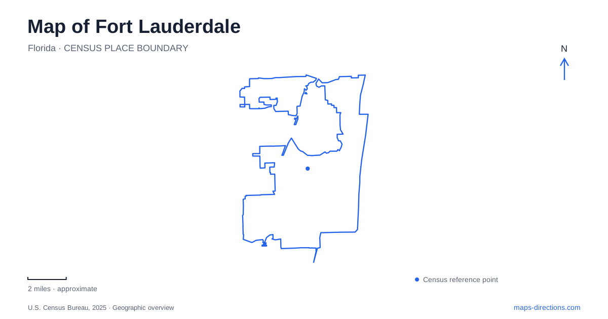
Street tiles load from OpenStreetMap when opened. The blue line shows the 2025 Census boundary.
- State
- Florida
- Population · July 2025
- 188,677
- Land area
- 34.6 sq mi
- Water area
- 1.7 sq mi
Fort Lauderdale is a city of several waterfronts rather than one continuous beach district. The New River runs through downtown, the Intracoastal Waterway separates much of the oceanfront from inland neighborhoods, and canals extend into residential areas. Las Olas Boulevard and Sunrise Boulevard provide useful east–west references within that pattern. Understanding which waterway a destination faces is the first step toward making sense of the city's parks, historic houses and walking routes.
Downtown faces the New River
Riverwalk Linear Park gives downtown a pedestrian edge along the New River. Benches, picnic areas and waterfront paths make the river accessible as public space rather than only as a corridor for boats and waterside buildings. The city map identifies a sequence of places along it, including Esplanade Park, Huizenga Plaza, Laura Ward Plaza and Smoker Park.
The named spaces help break the riverfront into manageable sections. Huizenga Park, at 32 East Las Olas Boulevard between Andrews Avenue and Southeast First Avenue, connects the river setting with the downtown boulevard. A visitor can therefore experience Las Olas as part of the urban center without having reached the oceanfront portion of the same broader corridor.
This is an important distinction on a Fort Lauderdale map. A riverside restaurant, a downtown park and a beach destination may all appear under the same general visitor branding, yet their surroundings and approaches differ substantially. The New River belongs to the city's interior geography, even though it participates in the wider waterway network.
A trading house beside the river
Stranahan House preserves an early chapter of that river-based settlement. Frank Stranahan arrived in 1893 to manage a ferry and camp at Tarpon Bend, then developed a trading business involving Seminole customers who traveled by canoe. In 1894 he acquired land farther west along the river for the expanding operation.
The present two-story building dates to 1901. Its lower floor served as a trading post and its upper floor as a community hall before it was remodeled into the family residence. Later work added plumbing, electricity and an interior staircase.
Those changes make the house more than a preserved domestic interior. Its structure records a transition from a trading and gathering place to a private home as the surrounding settlement grew. The river location explains why commerce concentrated there before modern road access became the dominant way most visitors experienced the city.
The oceanfront is a separate linear landscape
Along A1A, the beach promenade and its distinctive white wave wall provide a different way to read Fort Lauderdale. Here, movement follows the Atlantic shoreline rather than the bends of the New River. The sand, promenade and coastal road form parallel bands, with beach access distributed along them.
Las Olas Oceanside Park belongs to this oceanfront setting. It should not be confused with downtown's river-facing parks simply because it shares the boulevard's name. Choosing a beachside starting point creates a largely north–south outing, while a trip between downtown and the ocean involves crossing the intervening waterway landscape.
The distinction also helps with visual orientation. Boats passing a downtown riverfront and surf breaking beside the promenade are evidence of different bodies of water, even when both are described casually as the waterfront.
Birch State Park between ocean and channel
Hugh Taylor Birch State Park occupies land between the Atlantic and the Intracoastal Waterway, with its entrance at 3109 East Sunrise Boulevard. It preserves a substantial natural setting within the developed coast, including wooded areas, a freshwater lagoon and wildlife habitat.
The park's internal landscape is different from either surrounding shore. A lagoon paddle remains within the park's water system, while the Intracoastal carries marine traffic outside it. Use the park's beach-access guidance for crossing A1A; an older map depicting a pedestrian tunnel is not sufficient to establish the visitor route.
The floating dock, large pavilions and restroom areas are separate facilities within the park, each with its own practical access requirements. Check the operator's facility information for the part of the grounds you intend to use. This matters particularly for an arrival by water: a park's location beside the Intracoastal does not establish that visitors can tie up at its dock or reach every recreation area from the waterfront.
An artist's estate in the coastal landscape
Bonnet House adds a related but distinct preservation story to Fort Lauderdale. Frederic Clay Bartlett created the house in 1920 on land Hugh Taylor Birch had given to Bartlett and his wife Helen. Frederic and his later wife Evelyn developed the decorative character preserved in the museum today.
The thirty-five-acre estate combines art, architecture and coastal habitat. Its informal gardens and natural grounds contrast with the surrounding beachfront development, while the house reflects the personal interests of its artist owners. It is a separate property from the state park, despite the shared Birch family connection.
For a Fort Lauderdale itinerary, the two sites offer complementary views of the barrier-island landscape: one emphasizes a public park and natural recreation, the other a historic home and artistic environment. Both make more sense when placed between the ocean and the inland waterway rather than treated as generic stops near the beach.
Map and statistics: U.S. Census Bureau, 2025 Gazetteer, January 2025 generalized place boundaries and Vintage 2025 population estimates. Local references: City of Fort Lauderdale; Huizenga Park; Stranahan House Museum; Visit Lauderdale; Florida State Parks; Bonnet House Museum and Gardens. Article prepared by Maps & Directions.