Map of Fort Collins
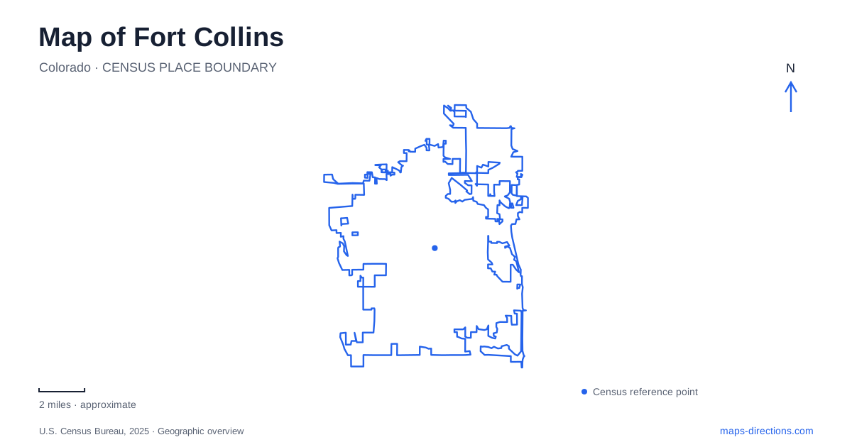
Street tiles load from OpenStreetMap when opened. The blue line shows the 2025 Census boundary.
- State
- Colorado
- Population · July 2025
- 171,500
- Land area
- 57.2 sq mi
- Water area
- 1.3 sq mi
Fort Collins has a street plan that preserves the meeting of an early riverside settlement and a later, more regular town layout. The Poudre River, Colorado State University, and the foothills provide additional reference points, each with a different relationship to the developed city. A map becomes particularly revealing when these features are considered together: downtown records the settlement's beginnings, campus preserves a designed academic landscape, and the waterways connect urban recreation with larger regional water systems.
Where Old Town met a newer grid
The original townsite extended from the river south to Mountain Avenue and from Riverside west to College Avenue. After the military reservation opened to settlement in 1872, a development company expanded the community. Surveyor Franklin Avery laid out the newer streets according to compass directions, with unusually broad rights-of-way.
College and Mountain were each planned at 140 feet wide. Those generous dimensions reflected a deliberate approach to the new town rather than the gradual widening of narrow lanes. Meanwhile, businesses around Jefferson and Linden retained their importance in the older commercial area. Historical accounts describe a rivalry between merchants favoring the older district and those establishing themselves around College and Mountain.
This history explains why the center of Fort Collins does not read as a completely uniform grid. Street orientation and width preserve competing stages of town-building. The intersections around Jefferson, Linden, College, and Mountain consequently provide a compact lesson in how the commercial center developed after the military post ceased operating.
The Poudre as a public corridor
The Poudre River Whitewater Park lies just north of Old Town. Its design combines river access, channel restoration, floodplain improvements, and a stronger connection between downtown and the water. The park is therefore both a recreation destination and part of a broader effort to improve the urban river environment.
Paths along the river create another way to understand the city's layout. They follow the water rather than duplicating the street grid, linking open spaces with developed areas. Spring Creek Trail joins the Poudre Trail at the confluence of the two waterways after passing through parks farther west.
For Fort Collins, that confluence is a useful geographical junction. It explains how two named trail corridors fit together and why a route along Spring Creek eventually reaches the larger river. The connection is based on the drainage landscape, giving walkers and cyclists a different framework from the main road network.
A campus organized around a planted space
Colorado State University's Oval preserves a distinctive academic setting. Its central double row of elm trees began with an 1881 planting, before the Oval's early twentieth-century design took shape. Additional elms were planted around the perimeter during the 1920s. The resulting landscape combines several generations of planting rather than a single original installation.
Buildings around it also retain evidence of changing university functions. Johnson Hall originally served as the student center, while the Music Building began as a library. Ammons Hall, built in 1922 as a women's recreation center with a pool, now houses the university's welcome and admissions functions.
These changes give Fort Collins a campus landscape where the relationship between buildings matters as much as individual architecture. The Oval links historic structures through a shared outdoor space, making it a useful starting point for understanding the older part of the university. Its trees are actively maintained and replaced when necessary, preserving the pattern without implying every tree dates to the nineteenth century.
Botanical collections beside an urban creek
The Gardens on Spring Creek at 2145 Centre Avenue provides another kind of planted environment. Its 12 acres contain curated botanical spaces, educational programs, and a tropical butterfly house. This is a managed collection with a horticultural purpose, distinct from the public trail that follows the same creek through the city.
The shared creek name can make the two seem interchangeable on a small map, but they serve different experiences. The trail is a route through several parks; the gardens are a destination for examining plants, exhibits, and designed spaces. Showing both clarifies how the watercourse supports movement as well as focused public institutions.
The reservoir beyond the urban grid
West of Fort Collins, Horsetooth Reservoir stretches for six and a half miles through the foothill landscape. It belongs to the Colorado-Big Thompson Project, which moves water from the western slope to the eastern slope for municipal use, irrigation, and power generation. Recreation is managed by Larimer County, while water operations involve federal and regional water agencies.
That dual role explains why this prominent blue shape is both an outdoor destination and working infrastructure. The shoreline includes separate recreation areas, with the information center at South Bay. A visit should be organized around the intended part of the reservoir and current area notices, rather than its overall label. The reservoir completes the map's progression from historic streets and planted campus grounds to a regional landscape shaped by water management.
Map and statistics: U.S. Census Bureau, 2025 Gazetteer, January 2025 generalized place boundaries and Vintage 2025 population estimates. Local references: City of Fort Collins History Connection; Cache la Poudre River National Heritage Area; City of Fort Collins; Colorado State University; Larimer County. Article prepared by Maps & Directions.