Map of Folsom
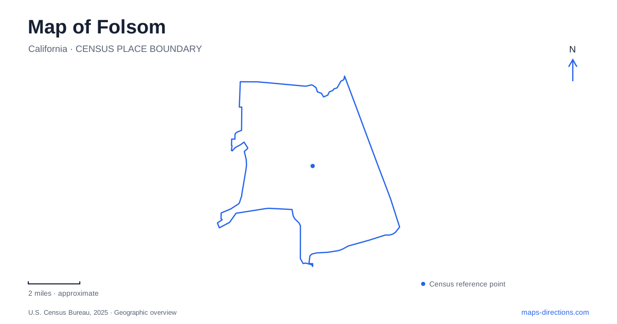
Street tiles load from OpenStreetMap when opened. The blue line shows the 2025 Census boundary.
- State
- California
- Population · July 2025
- 91,983
- Land area
- 27.9 sq mi
- Water area
- 2.3 sq mi
Folsom's river crossings reveal how the city has changed. An old truss bridge now carries people on foot and bicycles, Rainbow Bridge remains a recognizable landmark, and newer crossings serve a much larger road network. Nearby, a nineteenth-century powerhouse explains how the American River supplied electricity to Sacramento. Together with Sutter Street and two distinct lake landscapes, these features make water and transport the strongest organizing themes for a local map.
Sutter Street and the historical district
The history museum occupies 823 Sutter Street, while The Square, formerly called Pioneer Village, is at 196 Wool Street. These are separate visitor sites within the older district. Their different settings allow a history visit to move between museum interpretation and an outdoor historical space rather than staying entirely inside one building.
The museum operator identifies parking on Sutter Street, in a lot off Leidesdorff Street, and in the structure at Leidesdorff and Reading streets. Those names provide a useful small-scale framework around the district. A parking map centered only on the museum building would miss the role of the surrounding streets in reaching the wider historical area.
Sacramento Regional Transit's Gold Line serves Historic Folsom station and connects toward Sacramento Valley Station. The operator warns that not every Gold Line train continues all the way to this eastern endpoint. For an arrival by rail, checking the train's destination is therefore a specific part of reaching the district, especially when starting farther west on the line.
Bridges as a chronology of movement
The Truss Bridge opened in 1893 and once carried people, livestock, and vehicles over the American River. Today it connects the historical district with the Jedediah Smith Memorial Trail for walking and cycling. Its present use preserves a river crossing while changing the kinds of journeys made over it.
Rainbow Bridge reached its centenary in 2019, and the city uses its image in its logo. The Lake Natoma Crossing opened in 1999, adding a later generation to the local bridge landscape. Looking at these structures together turns the river into a visible timeline of transport needs rather than a barrier represented by a single blue line.
The Johnny Cash Trail adds pedestrian and bicycle infrastructure from a later stage of development. Its first overcrossing opened in 2014, followed by the Robbers' Ravine bridge with the second trail phase in 2017. A Folsom cycling map can therefore connect historic crossings with purpose-built modern trail bridges, each serving a different part of the network.
Electricity beside Greenback Lane
The powerhouse at 9980 Greenback Lane began operating in 1895. H.P. Livermore and his partners used river water to generate electricity for Sacramento, about 22 miles downstream. The installation became an early example of transmitting high-voltage alternating current over distance.
Surviving generators, a Tennessee-marble-faced control switchboard, transformers, forebays, and the canal system explain the process in physical terms. The water-delivery features are as important to the site's story as the machinery: they show how a river could become an industrial energy source. Seen after a walk through the historical district, the powerhouse expands the story from local commerce to a system serving another city.
The visitor center and main powerhouse have separate published opening schedules. Someone intending to see the generating equipment should use the main building's hours, since access to the visitor center alone does not necessarily mean the machinery rooms are open.
Lake Natoma's shoreline choices
Lake Natoma is managed primarily for paddling, rowing, and other nonmotorized or slow-speed recreation. Black Miners Bar provides a Greenback Lane approach to its northern section, with day-use facilities and shoreline access. The name recognizes Black miners associated with the area's gold-rush history. State Parks also distinguishes the historical townsite from the modern recreation area across the river.
Willow Creek provides another approach on the southeastern edge of the lake. Its day-use area connects with the south-shore trails, while the Dos Coyote Trail links toward the city's Humbug Willow Creek trail system. These connections make Lake Natoma part of an urban trail network as well as a water destination.
The larger reservoir beyond the dam
Folsom Lake has its own dispersed access areas, including Granite Bay, Beals Point, and Browns Ravine. They should be selected by the intended shore and activity. State Parks publishes separate launch guidance for trailered or motorized boats and hand-carried craft; permission to use one kind of launch does not establish access for the other.
For a map of Folsom, that distinction is fundamental. A shoreline symbol can identify a recreation area without telling a boater which launch type is available. The historic district, Lake Natoma, and the larger reservoir belong to one connected river landscape, but each calls for a different level of map detail.
Map and statistics: U.S. Census Bureau, 2025 Gazetteer, January 2025 generalized place boundaries and Vintage 2025 population estimates. Local references: Folsom History; SacRT; City of Folsom; California State Parks. Article prepared by Maps & Directions.