Map of Florissant
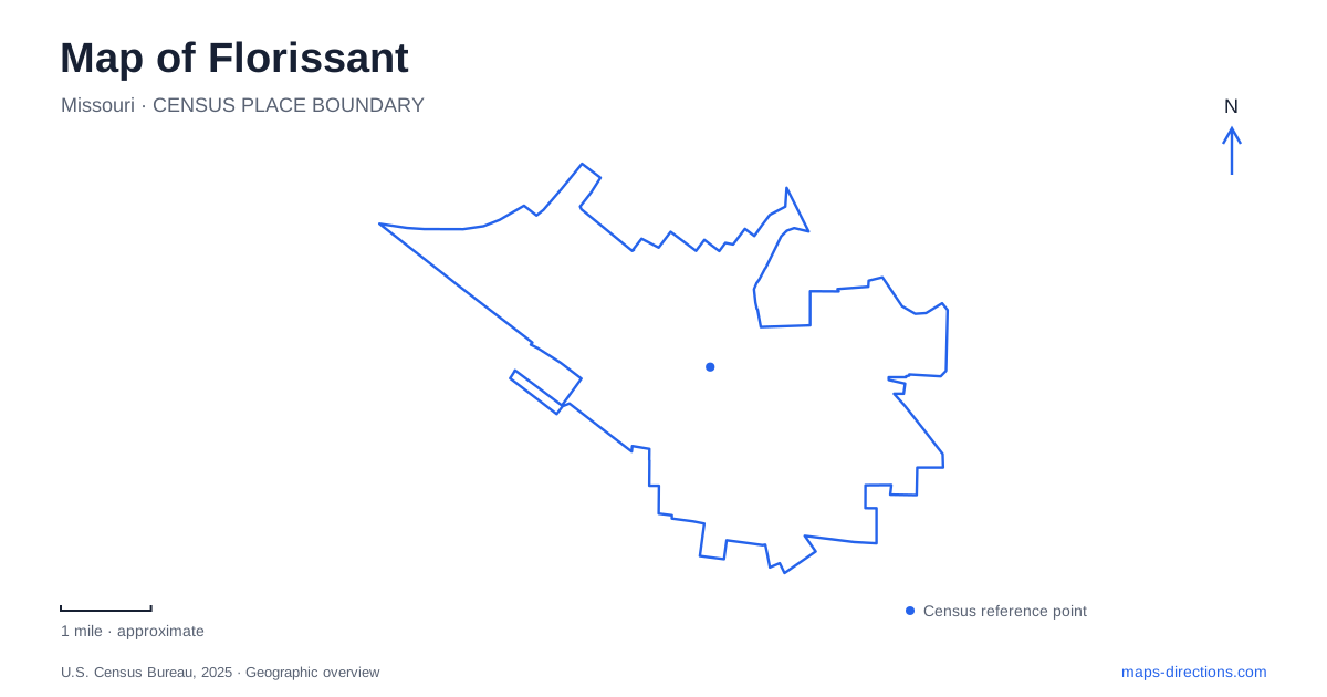
Street tiles load from OpenStreetMap when opened. The blue line shows the 2025 Census boundary.
- State
- Missouri
- Population · July 2025
- 51,124
- Land area
- 12.6 sq mi
- Water area
- 0.3 sq mi
Florissant's older center and Missouri River parkland are connected by the Sunset Greenway, giving a local map an unusually useful historical and recreational thread. Rue St. Francois organizes Old Town's civic and commercial activity, while Coldwater Creek and the river supply another geographical framework. Beyond this core, community centers and sports parks serve the wider residential area. These different settings reveal both the long history of the settlement and the shape of the present-day suburb.
Rue St. Francois and Old Town
The city's planning documents describe Rue St. Francois as Old Town's historic main street. Its buildings come from different periods, with older storefronts interspersed among later development. This is a layered commercial street rather than a preserved scene from one moment in time. Reading the individual blocks makes the older center more understandable than treating the entire district as a single historic attraction.
At 1 Rue St. Francois, Old St. Ferdinand Shrine brings several historic buildings together. The campus includes a church, convent, rectory, and schoolhouse, with volunteers supporting tours and preservation. Its association with Philippine Duchesne places education and religious history within the town's wider story. The grouping of buildings is important: the shrine is a small campus with several functions and structures, not simply one isolated church on a road.
Two places connected with the first parish
Spanish Land Grant Park preserves a different site in the early religious landscape. In 1788, Spanish commandant François Dunegant granted land there for a log church, presbytery, and burial ground. The log church later burned, and the old burial ground underwent disturbance and relocation of remains. The city notes that some burials remain within the present park.
This distinction adds depth to a historical map of Florissant. The early church and cemetery site and the surviving shrine campus represent related but separate places. The park carries the memory of an earlier setting even where the original structures are gone. Understanding that relationship prevents the surviving church buildings from absorbing the entire history of a parish whose physical geography changed over time.
Following the Sunset Greenway
The existing Sunset Greenway connects Old Town with Sunset Park at the Missouri River. Its route includes St. Ferdinand Park and a passage beneath the Route 67 bridge over Coldwater Creek. The city's route description follows Patterson Road, Humes Lane, and Sunset Park Drive through different portions of the connection. Those named roads make the greenway legible within the surrounding suburban street network.
The route changes character as it moves between the historic center, parkland, roadside sections, and the river. This is useful for deciding whether to explore a short portion or undertake the broader connection. The Missouri River is the large-scale destination, but the intermediate parks and streets give the trip its local structure. A map showing both the path and its road references makes that sequence easier to follow.
Great Rivers Greenway's development plans also identify extensions toward Koch Park and south toward other communities. These should be distinguished from the established Old Town-to-Sunset connection when reading regional diagrams. The route offers a meaningful cross-section of Florissant, while planning lines explain possible additions to the network. Consult the greenway's route guidance before depending on an extension to complete a longer outing.
Parks with different scales and purposes
St. Ferdinand Park supplies sports grounds, playgrounds, and a lake along the greenway setting. It can serve as a destination in its own right rather than only a place passed on the way to the river. The lake and playing areas create a different recreation landscape from the linear path, allowing a park visit to remain local even where a longer route continues beyond it.
Dunegant Park, on Derhake Road, provides another large recreation setting with ball fields, tennis courts, playgrounds, and an eighteen-hole disc golf course. Its combination of open playing areas and disc golf gives it a distinct purpose within the park system. It should be located by Derhake Road rather than assumed to be part of the Old Town river connection merely because its name recalls the early commandant.
Community activity beyond the historic center
The James J. Eagan Community Center is at 1 James J. Eagan Drive and includes a theater, pool, fitness space, and meeting rooms. The facility places indoor recreation and cultural activity in another part of Florissant's civic map. It complements the shrine's historical setting and the outdoor parks without duplicating their roles.
For a first exploration of Florissant, Rue St. Francois and the shrine establish the older center, while the Sunset Greenway shows how that center relates to Coldwater Creek and the Missouri River. Derhake Road and the Eagan center add the neighborhood recreation picture. Together, these references explain a community whose public places extend from colonial-era sites to contemporary sports and gathering spaces.
Map and statistics: U.S. Census Bureau, 2025 Gazetteer, January 2025 generalized place boundaries and Vintage 2025 population estimates. Local references: City of Florissant; Friends of Old St. Ferdinand Shrine; Great Rivers Greenway. Article prepared by Maps & Directions.