Map of Florida
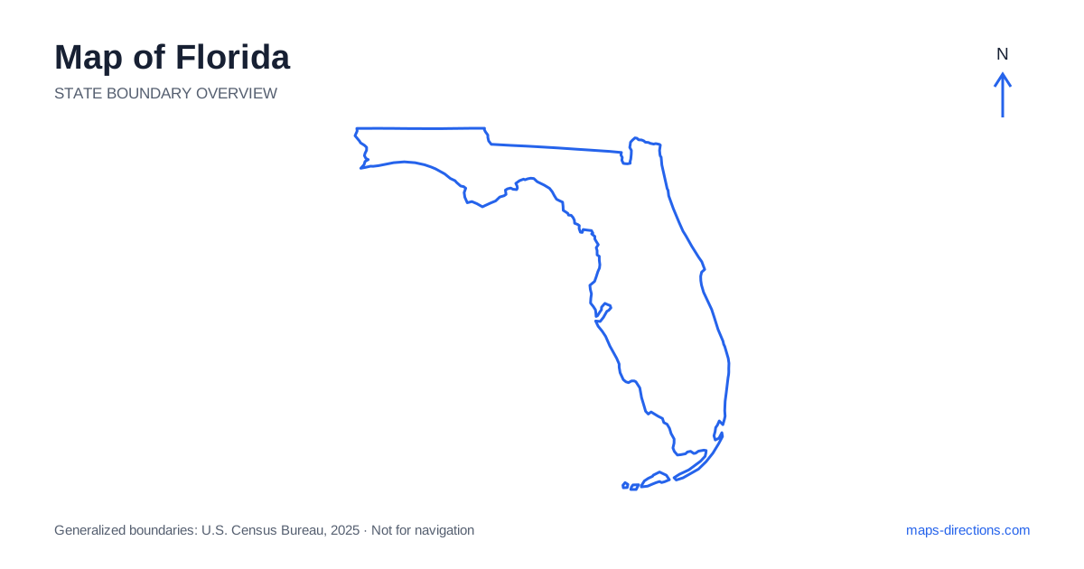
Florida has two different shapes within one state: a long peninsula extending south between two coasts, and a Panhandle running west along the northern Gulf. That layout is the foundation for understanding its road network. Tallahassee, Jacksonville, Orlando, Tampa and Miami occupy widely separated positions rather than one continuous coastal cluster. The Keys form another distinct chain beyond the mainland. Before choosing destinations, locate the intended coast or inland region and decide whether the journey stays within it or crosses into a substantially different part of the state.
Read the Panhandle as an east-to-west region
The northern part of Florida extends far west of the peninsula. Pensacola, the Fort Walton Beach area and Panama City help orient the western and central Panhandle, while Tallahassee, the capital, sits farther east and inland. These places should not be grouped automatically with the peninsula's southern beach destinations. Their road approaches and neighboring regions are different.
Interstate 10 runs across the north and provides a major regional connection. Many coastal destinations require leaving that corridor and traveling south toward a particular bay, barrier island or beach town. The coastline contains numerous inlets and water crossings, so the nearest point on the interstate does not always establish the best final approach. Follow the local connection all the way to the destination rather than stopping the plan at the highway exit.
Distinguish the Atlantic and Gulf city chains
Jacksonville anchors the northeastern Atlantic side, with communities farther south extending along the eastern coastline. Miami and the surrounding metropolitan area lie near the southeastern end of the peninsula. Tampa and St. Petersburg are on the Gulf side, arranged around Tampa Bay, while Fort Myers and Naples occupy separate areas farther south along that coast.
This arrangement makes the chosen coast a meaningful planning decision. A west-coast hotel is not a convenient substitute for an east-coast destination simply because both are at a similar latitude. Within metropolitan areas, water also matters: Tampa, St. Petersburg and nearby barrier-island communities have different approaches. Select the correct side of the bay or inlet before estimating how a day of local visits will fit together.
Place the inland cities on the highway network
A road map of Florida reveals Orlando as an inland destination, not an Atlantic or Gulf waterfront city. It sits within a larger central region whose attractions, suburbs and airports are spread across different corridors. A destination described by the metropolitan name alone may be far from the specific venue or entrance needed for the visit.
Interstate 4 links the Tampa area with Orlando and the Atlantic side near Daytona Beach. Interstate 75 forms a major western and interior corridor, while Interstate 95 follows the eastern side. The Turnpike provides another important connection through parts of the peninsula. Choose among these routes according to actual stops and access points, and check practical matters such as toll arrangements separately rather than assuming every highway offers the same kind of journey.
Understand the southern wetlands and mainland edges
The southern mainland includes extensive wetlands, especially around the Everglades. Large areas on the map are therefore not crossed by a dense road grid, even when they lie near major urban development. A park or preserve label covers a broad landscape and does not identify a single arrival point. Different visitor areas can require different approaches from the east, west or south.
Roads across the southern part of the peninsula connect particular corridors rather than granting access to every nearby natural area. Use the named visitor entrance or facility as the destination. A pin placed in the center of a protected area may not correspond to a usable road. Separating the landscape boundary from its public access points makes the map more informative and prevents a misleading route from appearing complete.
Treat the Keys as a chain with limited connections
The Florida Keys extend southwest from the mainland as a series of islands linked along a principal road corridor. Key Largo, Marathon and Key West occupy different positions on that chain. They are not interchangeable bases, and the drive between them remains part of the itinerary even when a small map compresses the islands into a thin line.
Bridges and the linear geography limit the number of alternative road connections. A stop farther down the chain can involve retracing the same corridor on the return trip. Decide whether the journey is a short excursion from the mainland or a stay that moves progressively along the islands. Include the precise lodging entrance and any off-road transport separately, because an island label may cover more than the immediate road-accessible area.
Choose a region before adding a statewide loop
A central inland visit, a Panhandle beach trip, a Gulf-coast stay and a southeastern city-and-Keys itinerary each work as distinct geographical plans. Combining them requires substantial travel between regions. Plot the overnight locations first so that the route does not repeatedly cross the peninsula or return north after a long southbound leg.
For a Florida map to support a practical journey, pair the broad outline with a close view of the final coast, bay or island. Separate mainland driving, bridge approaches and local streets, and leave current weather or closures to up-to-date checks. The state is easy to recognize by shape, but a useful route depends on understanding which side of that shape each destination occupies and how the available roads actually connect it.