Map of Flint
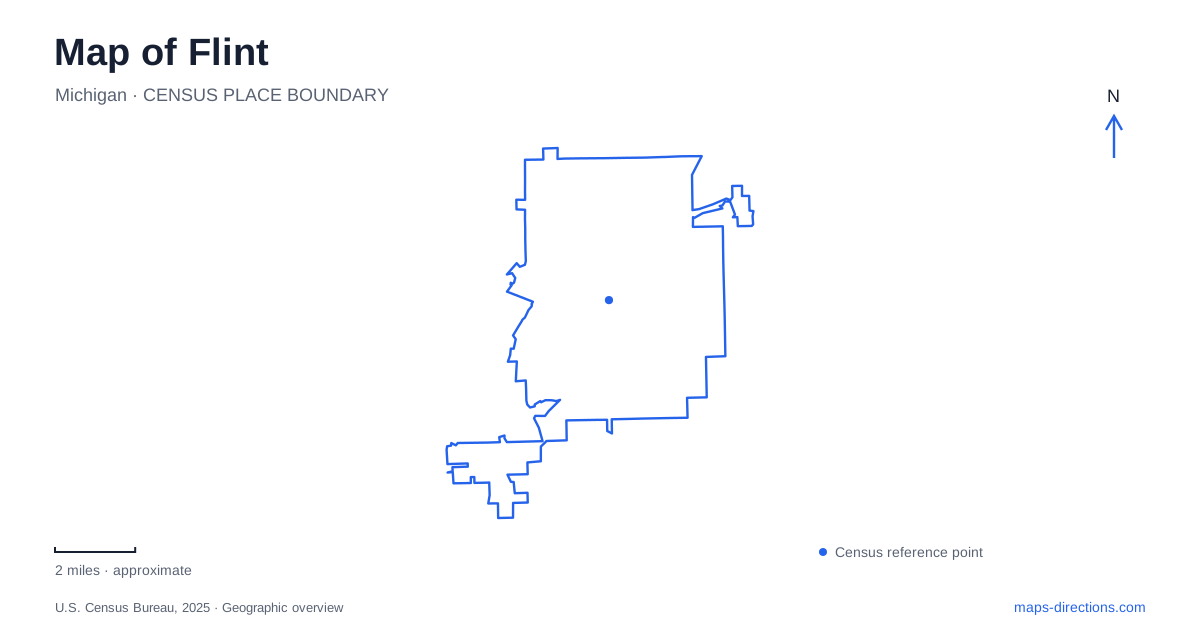
Street tiles load from OpenStreetMap when opened. The blue line shows the 2025 Census boundary.
- State
- Michigan
- Population · July 2025
- 79,306
- Land area
- 33.4 sq mi
- Water area
- 0.7 sq mi
Flint's central map brings together several chapters of the city's development within a relatively compact area. Saginaw Street organizes downtown, East Kearsley Street leads toward major cultural institutions, and the river links former industrial land with public landscapes. Carriage Town adds an earlier manufacturing story, while Applewood preserves the home and gardens associated with Charles Stewart Mott. Following these distinct places gives more substance to a visit than treating the center as a single collection of attractions.
Downtown around Saginaw, First, and Second
Saginaw Street is a useful reference for the downtown arts scene. The Greater Flint Arts Council occupies number 816, and the Mott-Warsh Collection's MW Gallery is at number 815. Their addresses place different kinds of visual-art activity along the same street, giving this stretch a cultural role beyond its commercial frontage.
The Capitol Theatre sits at 140 East Second Street. Designed by John Eberson and opened in 1928, it belongs to the atmospheric-theater tradition: its auditorium was intended to evoke an outdoor setting, with a star-like ceiling and elaborate architectural scenery. Its location just off the main downtown corridor puts a large performance venue within the surrounding street grid rather than in a separate suburban complex.
The farmers' market occupies 300 East First Street, in a former newspaper printing facility. Its interior vendor spaces and outdoor areas form another downtown gathering point. The relationship between First and Second streets makes the market and theater easy to place together on the map, although their different activities give each block its own rhythm. The market's reuse of a printing building is also part of a wider local pattern of adapting existing structures for new public purposes.
Carriage Town and the automotive archive
Durant-Dort Factory One stands at 303 West Water Street in Carriage Town. General Motors maintains it as a heritage site, research center, and event space associated with William Durant and Josiah Dallas Dort. The building connects the carriage-making era with the origins of automobile manufacturing, an important distinction in a city often described only through its later automotive plants.
Kettering University's archive at the site contains historical photographs, documents, and artifacts related to carriage building, early automobiles, and company history. Research access is arranged by appointment. This gives Factory One a role beyond a preserved exterior: it is also a place where the industrial story can be investigated through records tied to specific people, buildings, and businesses.
Carriage Town therefore provides a useful historical counterpart to the larger former factory landscapes along the Flint River. One preserves a building associated with the early development of an industry; the other shows how extensive industrial property has been transformed after production ended.
Kearsley's concentration of museums and performance spaces
The cultural campus along East Kearsley Street groups institutions with several different purposes. Sloan Museum of Discovery is at 1221, Longway Planetarium at 1310, Whiting Auditorium at 1241, and the repertory theater at 1220. These street numbers make the concentration clear: science, history, and performance destinations occupy neighboring parts of the same corridor.
The Flint Cultural Center is consequently best understood as a campus of individual institutions. A museum visit and an evening performance can take place in the same broader setting while requiring different buildings and schedules. The shared corridor makes combinations possible, but the separate identities of the institutions are central to how the area works.
Applewood, the Charles Stewart Mott estate, is at 1400 East Kearsley Street. Its preserved house and gardens extend the cultural landscape into a more domestic setting. The Ruth Mott Foundation presents the property through tours, garden programs, and historical interpretation. Beside the larger public institutions, the estate offers a more intimate perspective on the family whose name appears throughout the city's civic history.
Industrial ground becomes river landscape
Chevy Commons occupies former factory land between Grand Traverse Street and Chevrolet Avenue. The Michigan Department of Natural Resources describes it as a 67-acre park unit with nonmotorized trails and native landscaping. The conversion of the former Chevy in the Hole site makes it one of the clearest places to see the changing relationship between manufacturing land and public recreation.
Riverbank Park lies farther along the water between Harrison and Grand Traverse streets. Designed by Lawrence Halprin as part of a flood-control project, it introduced a sequence of separate blocks with fountains, an amphitheater, and other water-related features. Its formal landscape differs markedly from the planted openness of Chevy Commons.
Both belong to the developing state-park system, where improvements and connections remain phased rather than uniformly complete. The river corridor, historic factory, downtown venues, and Kearsley institutions together describe Flint through places that retain different traces of its past. Their relationships make the map a record of changing land uses as well as a guide to present-day destinations.
Map and statistics: U.S. Census Bureau, 2025 Gazetteer, January 2025 generalized place boundaries and Vintage 2025 population estimates. Local references: Flint and Genesee Group; Flint Institute of Music; Flint Farmers Market; General Motors; Sloan Museum and Longway Planetarium; Explore Flint and Genesee; Ruth Mott Foundation; Michigan Department of Natural Resources. Article prepared by Maps & Directions.