Map of Flagstaff
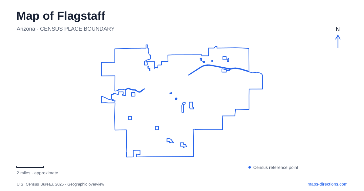
Street tiles load from OpenStreetMap when opened. The blue line shows the 2025 Census boundary.
- State
- Arizona
- Population · July 2025
- 77,260
- Land area
- 66.0 sq mi
- Water area
- 0.1 sq mi
Flagstaff brings several kinds of travel geography into a compact mountain setting: a railroad town, a university campus, an astronomical research site, and routes into a much larger volcanic landscape. Downtown's tracks and Route 66 provide an initial frame of reference. Milton Road leads toward the university, Mars Hill rises above the historic center, and Fort Valley Road heads toward the Museum of Northern Arizona. These are distinct directions within a city that also serves as a starting point for trips well beyond its limits.
The railroad at the center of town
The downtown depot dates to 1926 and replaced a station one block farther east. Its Tudor Revival features include steep rooflines, large chimneys, and decorative timbering. The building continues to serve rail travelers, while its western portion houses the visitor center. That combination makes it both a surviving transportation landmark and a practical introduction to the surrounding streets.
The historic commercial district and the Southside neighborhood lie on different sides of the railroad corridor. The tracks therefore matter to the everyday arrangement of Flagstaff as well as to its history. A map centered only on restaurants or hotels can obscure this underlying structure. Showing the depot, Route 66, and the streets crossing the railway makes the relationship between the two districts much easier to understand.
Milton Road and the university
The approach from Interstate 17 becomes Milton Road on entering town. Northern Arizona University's own visitor directions use Milton, Riordan Road, and Knoles Drive to reach its auditoria. Coming from the historic center, the road connection passes beneath the railway before continuing toward those campus approaches. The underpass is a useful physical marker between the downtown road pattern and the university-side corridor.
The campus introduces a different scale from the commercial blocks around the depot. Academic buildings, halls, and pedestrian routes form an institutional landscape within the city. Riordan Road and Knoles Drive help locate performance venues, while the university's broader campus map supplies the building-level detail. Someone attending an auditorium event will have a different destination within these grounds from someone visiting a department or residence hall.
Science on Mars Hill and Fort Valley Road
Lowell Observatory occupies Mars Hill at 1400 West Mars Hill Road. The observatory describes its site as a mesa rising several hundred feet above the historic town, roughly a mile west of downtown. The elevation difference is an important part of its setting: this is a hilltop campus overlooking the developed center, rather than an observatory tucked into a downtown block. It is also the institution where Pluto was discovered in 1930.
The Museum of Northern Arizona occupies another setting, at 3101 North Fort Valley Road along US Highway 180. Its two-hundred-acre campus includes exhibition space, research facilities, and collection storage. Art, Indigenous cultural collections, and natural science materials connect the museum to the surrounding plateau. For visitors comparing destinations in Flagstaff, the museum and the observatory offer complementary perspectives, but they occupy different road corridors and different kinds of terrain.
Trails that reveal the waterway
The Karen Cooper Trail parallels the Rio de Flag between downtown and the Cheshire neighborhood. This route gives the watercourse a clear role in the urban map, even where nearby streets follow other alignments. The city's trail descriptions identify a 3.6-mile route, making it a substantial local corridor rather than merely a short loop around a park.
Another urban trail follows the south side of Route 66 from downtown toward the eastern side of town. Its alignment tells a different story: it accompanies a transportation corridor instead of following the river. Together, the two trails illustrate how the Flagstaff walking and cycling network draws on both natural features and established roads. Their names and endpoints help distinguish a waterway-oriented outing from a journey along the city's eastward corridor.
The monument loop beyond the urban streets
Sunset Crater Volcano and Wupatki national monuments connect through paved Forest Road 545, the Sunset Crater–Wupatki Loop Road. Both ends meet US Highway 89. The National Park Service describes a thirty-five-mile scenic loop passing from ponderosa pine surroundings into juniper grassland and the more open Wupatki Basin. The changing landscape is part of the route's purpose, not simply the space between two visitor centers.
These monuments have regional addresses associated with Flagstaff, but their visitor destinations lie outside the downtown street network. The park service specifically warns that navigation searches can confuse administrative offices with the Sunset Crater visitor center or suggest forest-road approaches. Using the paved loop road places the journey in its correct regional context: a separate excursion through volcanic terrain and ancestral Puebloan sites, beginning beyond the city's everyday corridors.
Map and statistics: U.S. Census Bureau, 2025 Gazetteer, January 2025 generalized place boundaries and Vintage 2025 population estimates. Local references: Discover Flagstaff; Northern Arizona University; Lowell Observatory; Museum of Northern Arizona; City of Flagstaff; National Park Service. Article prepared by Maps & Directions.