Map of Fitchburg
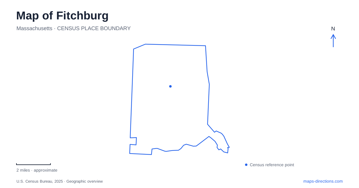
Street tiles load from OpenStreetMap when opened. The blue line shows the 2025 Census boundary.
- State
- Massachusetts
- Population · July 2025
- 42,136
- Land area
- 27.8 sq mi
- Water area
- 0.3 sq mi
Fitchburg grew around a working river, and that history still gives its map a clear organizing line. The North Nashua River runs through a landscape of former industrial sites, downtown streets and public spaces reclaimed for recreation. Main Street supplies the civic and commercial reference points, while hills, woodland and Mirror Lake add a very different scale beyond the central streets. Exploring the city means following both the river corridor and the routes that leave it.
Why the center followed the water
After the American Revolution, residents debated whether the town center should stand on Dean Hill or beside the river. The river location prevailed after Captain William Brown donated land for a meetinghouse. That choice placed community institutions near the resource that would support manufacturing. Mills used water power, and factories, employment and housing developed in relation to the river rather than around an abstract geometric center.
The industrial history of Fitchburg included paper production, cloth, tools and other manufactured goods. City status followed in 1872, when downtown commerce and institutions formed an established center. This background helps explain the close relationship between substantial older buildings and the watercourse. The river was part of the production landscape, while the adjoining streets accommodated the businesses and households that depended on it.
Riverfront spaces with different roles
Riverfront Park is listed at 51 Commercial Street, with access from Commercial Street off Boulder Drive. It provides a downtown setting for concerts, outdoor movies and other gatherings. The location is useful for understanding how public activity now occupies part of the river corridor. A street map shows its relationship to the commercial center; an aerial view helps reveal the narrow strip of water and open land among more densely developed blocks.
Gateway Park, at 19 Sheldon Street, approaches the river from a different angle. A former industrial brownfield became a community green space with raised garden beds, walking paths and seating beside the North Nashua River. Food growing is an important part of its identity. The two parks therefore represent distinct uses of riverfront land: one is associated with downtown events, while the other combines neighborhood gardening with a small outdoor retreat.
These places also make the city's industrial geography easier to read. Open space along the water is not simply a remnant left outside development. At Gateway Park, it reflects an intentional change in land use. The contrast between river, gardens and nearby urban streets records an environmental and community project within the established city.
Rollstone Boulder and the Upper Common
One of the most unusual landmarks on a map of Fitchburg has changed location. Rollstone Boulder originally stood on Rollstone Hill, where quarrying eventually threatened it. In 1929, it was moved in pieces and reassembled on the traffic island beside the Upper Common on Main Street. Its present position is therefore a story of preservation rather than evidence that the glacier left it in the middle of downtown.
Keeping the hill and the relocated boulder distinct enriches a visit to both. The hill explains the original geological setting; the downtown landmark explains the community's decision to retain a familiar feature while quarrying altered that setting. The stone connects natural history with the industrial activities that reshaped the surrounding landscape.
Art around Elm Street
The Fitchburg Art Museum stands at 185 Elm Street. Its arrival directions connect Main Street with Academy Street and then Elm Street, placing the galleries within the downtown street network rather than at a remote campus. Museum parking is provided at the Elm Street entrance and in the Merriam Parkway courtyard; the residential arts-community lot across the street serves a separate use.
The institution grew from the collections and funds left by artist Eleanor Norcross. After spending much of her working life in Paris, she wanted an art center in her hometown. The center opened in 1929 and became a museum in 1951. This history adds a cultural counterpart to the mills and workshops: the city's public identity also developed through collecting, teaching and the creation of institutions accessible to its residents.
Mirror Lake and the wooded park
Coggshall Park offers a wooded landscape organized around Mirror Lake, a gazebo and the Stone House. Its vehicle approaches are from Electric Avenue and Mount Elam Road; the South Street entrance is closed to vehicles. Those approaches matter because the park's broad wooded footprint meets several streets without functioning as an unrestricted through route.
The lake setting and surrounding trail network show a quieter side of Fitchburg. They also complete a useful geographic comparison: downtown follows the working river, Elm Street holds an arts institution, and Coggshall preserves a landscape of water, trees and paths. Each setting reveals a different way that natural features and community decisions have shaped the city.
Map and statistics: U.S. Census Bureau, 2025 Gazetteer, January 2025 generalized place boundaries and Vintage 2025 population estimates. Local references: City of Fitchburg; Massachusetts Department of Conservation and Recreation; Fitchburg Art Museum. Article prepared by Maps & Directions.