Map of Findlay
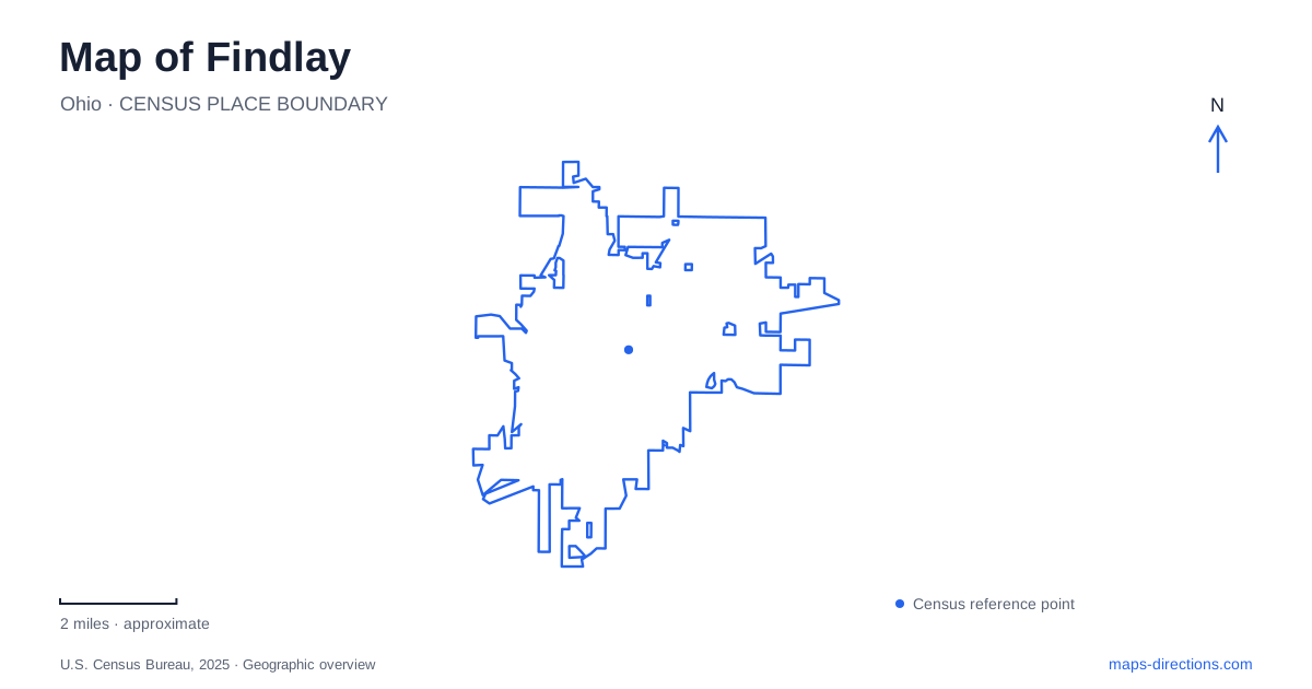
Street tiles load from OpenStreetMap when opened. The blue line shows the 2025 Census boundary.
- State
- Ohio
- Population · July 2025
- 40,370
- Land area
- 19.9 sq mi
- Water area
- 0.1 sq mi
Findlay's history and public landscapes repeatedly return to the Blanchard River. The early military outpost stood near today's Main Street crossing, Riverside Park developed from a waterworks site, and regional recreation areas follow the river beyond the central streets. A separate museum campus on West Sandusky Street preserves buildings and vehicles associated with local life and industry. These places give the map a sequence of historical and recreational anchors along and near the water.
The early fort and its modern namesake
The stockade built during the War of 1812 stood west of the present Main Street Bridge over the Blanchard. It was associated with Colonel James Findlay, whose name became attached to the later community. The regional tourism office dates the first town lots to 1821, after the military outpost's original purpose had passed.
A fort-themed playground now stands in Emory Adams Park, but it occupies a different location. The city identifies the playground at Sixth and Blanchard streets and records its construction by community volunteers in 2001. It commemorates the early history through a play setting rather than preserving the original stockade site.
This distinction is useful when comparing a historical account with a contemporary map. The downtown bridge area explains the original river crossing and fort location, while the playground belongs to a south-side recreation complex. Shared historical naming connects the two places without making them geographically interchangeable.
Riverside's waterworks origins
Riverside Park, at 231 McManness Avenue, opened in 1906 on the site formerly known as Water Works Park. Its present waterfront includes a waterfall pavilion, an overlook deck, walking paths, fishing space, and a public boat launch. The city identifies the waterfalls as the dam area, an important distinction from a naturally occurring cascade.
The park also contains a bandshell, playing courts, picnic shelters, a swimming pool, and playgrounds. These facilities place social and recreational activities alongside the river rather than restricting the waterfront to a single use. The history of the site shows a transition from municipal water infrastructure to a broader public landscape.
Riverside provides a particularly useful point for understanding Findlay at the water's edge. Its paths belong to a land-based recreation network, while the launch provides access to the Blanchard River Water Trail. The same park can therefore begin either a walking outing or a paddling trip, with different routes extending from a shared location.
Buildings gathered on West Sandusky Street
The Hancock Historical Museum began operating in the Hull-Flater House at 422 West Sandusky Street after the museum association acquired it in 1971. Restoration returned the house toward its appearance in the 1880s, and later additions expanded the institution beyond the original residence.
The museum campus now brings together several aspects of Findlay's history. Its Energy and Transportation Annex, built in 2014, displays Grant automobiles, an Adams truck, and Marathon tankers alongside industrial exhibits. These objects connect household history with the manufacturing and transportation activities that shaped the local economy.
The Davis house adds a further geographic layer. Originally built in 1843 on what became Tiffin Avenue, it was moved to West Sandusky Street in 2009 and renovated for the Davis Learning Institute. Its present museum-campus location preserves the building, but not its original setting. The campus map consequently represents a collection assembled over time, combining an established historic residence with relocated and newly constructed facilities.
Riverbend around the big bend
Riverbend Recreation Area occupies 129 acres at 16618 Township Road 208. It opened in 1976 as the Hancock Park District's first park, during the national Bicentennial. The district connects its name and location with the large bend in the Blanchard River.
Multi-use and nature trails pass through open areas and tree cover. Giertz Lake has two fishing piers, while the park also contains Brugeman Lodge, the Robert G. Payne Arboretum, a disc-golf course, and access to the river water trail. These features give the site several focal points instead of one central activity area.
The lake and river should remain distinct when reading the park map. A fishing pier on Giertz Lake and a launch onto the Blanchard lead to different water settings within the same recreation area. The park's larger extent also gives it a different character from the more concentrated facilities at Riverside.
Taken together, the Main Street crossing, Riverside waterfront, museum campus, and Riverbend show how Findlay's map records both continuity and change. The river remains a defining feature, while former utility grounds, relocated houses, and commemorative recreation spaces reveal how the community has reused and interpreted its past.
Map and statistics: U.S. Census Bureau, 2025 Gazetteer, January 2025 generalized place boundaries and Vintage 2025 population estimates. Local references: Visit Findlay; City of Findlay; Hancock Historical Museum; Hancock Park District. Article prepared by Maps & Directions.