Map of Fayetteville
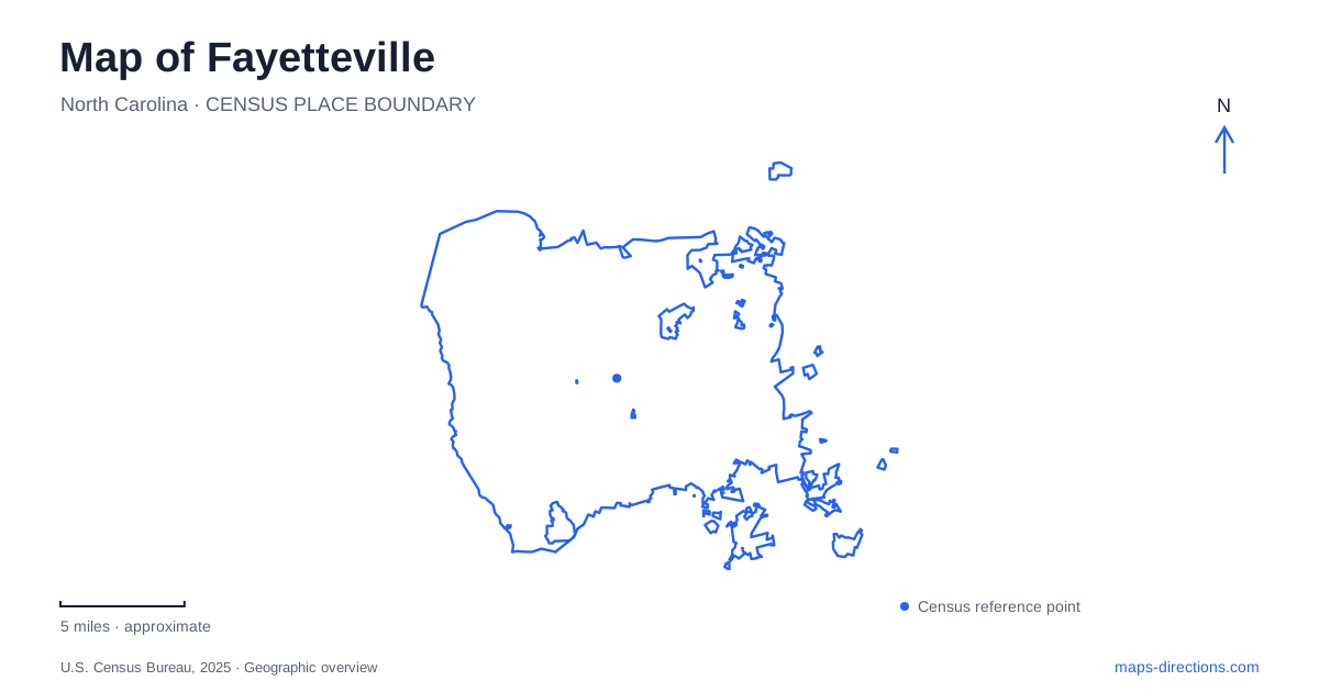
Street tiles load from OpenStreetMap when opened. The blue line shows the 2025 Census boundary.
- State
- North Carolina
- Population · July 2025
- 209,120
- Land area
- 148.3 sq mi
- Water area
- 1.8 sq mi
A map of Fayetteville is best understood through the relationship between its historic street center and two waterways: Cross Creek and the Cape Fear River. Downtown landmarks tell stories of commerce, government, rail travel and military life, while greenways follow a less rigid course through the same urban area. The city's different museums add further layers. A former depot, a preserved family home and a modern military museum each explain a different part of the landscape rather than presenting interchangeable versions of local history.
Four streets around the Market House
The Market House stands where Hay, Person, Green and Gillespie streets meet. Built in 1832 after the destructive fire of the previous year, it gives the downtown street pattern a recognizable focal point. Its architecture combines a market below with an upper civic space, a building arrangement connected to British traditions familiar to early settlers.
The landmark also carries the history of slave trading. Its prominence in the street plan should not obscure that part of its meaning. Reading the building solely as a picturesque clock tower misses why its public interpretation has been contested. The intersection remains useful for orientation, but the history associated with it requires more than an architectural description.
Hay Street forms a central commercial corridor, with civic buildings, churches, shops and the train station among its surroundings. The streets radiating from the Market House make the older center of Fayetteville legible even when viewed without a detailed itinerary.
Rail history and military collections
At 325 Franklin Street, the local history museum occupies the restored 1890 Cape Fear and Yadkin Valley Railroad Depot. Its two floors of exhibits provide a setting in which the building itself is part of the subject. The former transportation function helps place downtown within a wider regional network, beyond the immediate street intersection.
The Airborne and Special Operations Museum has a different address and purpose: 100 Bragg Boulevard. Its public visitor information directs people to this museum location and identifies parking in front of the building, with additional large-vehicle space near the North Carolina State Veterans Park. The museum grounds and galleries are accessible, and wheelchairs are available through visitor services.
These are distinct historical stops within Fayetteville. The depot concerns local history in a preserved transport building, while the military museum focuses on airborne and special operations heritage. Grouping them by subject and address makes their relationship clearer than treating all military or historical search results as one destination.
A creek route with a newer name
Older maps and park listings use Cross Creek Linear Park, while the city announced the Harry F. Shaw Linear Trail name in 2025. That announcement also marked completion of a connector to the Cape Fear River Trail. The change matters when comparing route descriptions prepared at different dates: two names may refer to the same evolving greenway system.
The creek trail runs from Festival Park past Cross Creek Cemetery, then north and east toward Riverside Dog Park. The river trail extends through woodlands and wetlands from near Jordan Soccer Complex, passing Clark Park Nature Center on the way toward the dog park. The approximately half-mile connector near that southern meeting area joined the systems into nearly 11.4 miles of continuous trails and greenways, according to the city's 2025 announcement.
This network gives Fayetteville a second pattern of movement alongside the streets. The creek route threads through the downtown landscape, while the river route follows a broader natural corridor. Their connection allows the watercourses to explain the city at more than one scale.
A garden at the meeting of waterways
Cape Fear Botanical Garden sits between Cross Creek and the Cape Fear River. Its garden map identifies a Cross Creek Overlook and Bluff Garden, a Cape Fear River Overlook, woodland loops and cultivated collections. The Cross Creek viewpoint overlooks an oxbow near the meeting of the waterways, where seasonal flooding can transform the appearance of the landscape.
The cultivated areas include a camellia garden, a daylily garden, a children's garden and a shade garden beneath loblolly pines. Those different plant settings make the garden more than an uninterrupted riverside path. Its internal map follows both horticultural themes and the contours of a river landscape.
Arsenal ruins and the Poe family home
The Museum of the Cape Fear Historical Complex at 801 Arsenal Avenue combines regional exhibits with the 1897 Poe House and Arsenal Park. The house belonged to E. A. Poe, a local brick manufacturer, rather than the writer Edgar Allan Poe. Guided house tours begin through the museum, an important practical detail for that particular building.
Arsenal Park preserves the site of a federal arsenal later used by the Confederacy and destroyed by Union troops in 1865. Ruins, interpretation and a steel representation of a former tower communicate the lost complex. On a map of Fayetteville, this grouping adds another kind of historical place: a surviving domestic building beside the traces of a vanished military installation.
Map and statistics: U.S. Census Bureau, 2025 Gazetteer, January 2025 generalized place boundaries and Vintage 2025 population estimates. Local references: Society of Architectural Historians; City of Fayetteville; Airborne and Special Operations Museum; Cape Fear Botanical Garden; North Carolina DNCR. Article prepared by Maps & Directions.