Map of Farmington
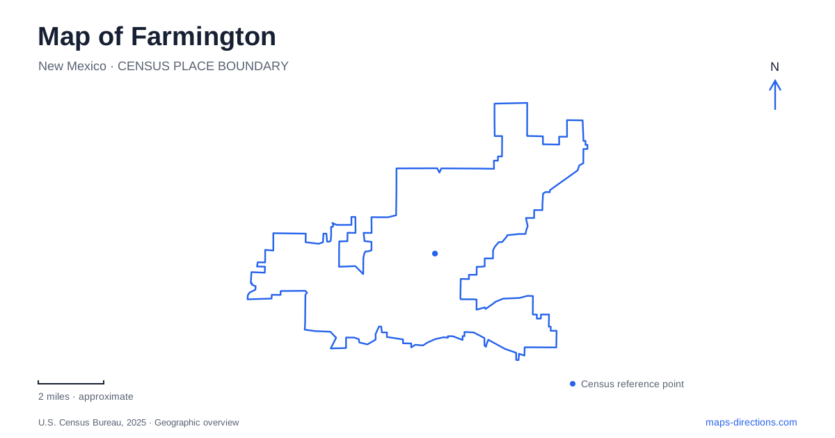
Street tiles load from OpenStreetMap when opened. The blue line shows the 2025 Census boundary.
- State
- New Mexico
- Population · July 2025
- 46,055
- Land area
- 34.5 sq mi
- Water area
- 0.5 sq mi
Farmington is organized around more than one kind of water landscape. The Animas River supports a chain of urban parks and trails before joining the San Juan River. A separate lake recreation area lies along the East Main Street corridor. These destinations can appear together in an outdoor search, but riverbank walking, downstream paddling, and a lake outing have different geographic requirements. The museum and visitor center add a useful cultural reference along that same broader street corridor.
The Animas parks form a sequence
Berg Park is a familiar entry to the river trail system near Scott Avenue and San Juan Boulevard. Animas Park and Riverside Nature Center are approached from Browning Parkway. Boyd Park provides another access near East Pinon Street and South Miller Avenue. These are different points along a connected landscape, not competing names for one main entrance.
The trail system includes paved and unpaved surfaces, with routes through parkland along the Animas. The choice of access point can therefore be based on the part of the river a visitor wants to explore. A walk beginning near the nature center has a different immediate setting from an outing focused on the western section near Boyd Park.
For a map of Farmington, the sequence is more useful than a single marker labeled river trail. The parks give the corridor recognizable places, while the trail connections explain how those places relate. It becomes possible to choose a manageable section without treating the entire system as one required walk.
Whitewater and nature interpretation share the corridor
The All Veterans Memorial Plaza and whitewater park have an access south of the San Juan Boulevard and Tucker Avenue intersection. Their presence adds another purpose to the riverfront beyond ordinary park walking. A memorial visit and observation of the river's recreation features can share an area while remaining distinct activities.
Riverside Nature Center, in the Animas Park setting off Browning Parkway, supplies an interpretive focus. The municipal recreation program uses the surrounding trails and habitat for learning about wildlife, plants, and the river environment. That makes the center a useful starting reference for someone interested in understanding the landscape rather than simply covering distance.
These places illustrate why the Animas corridor should be read as a series of environments. It contains recreation infrastructure, public remembrance, and habitat interpretation, each attached to a particular place along the water.
The confluence changes the paddling map
The visitor bureau identifies the meeting of the Animas and San Juan rivers downstream of Boyd Park and Hicks Landing. Its paddling information gives that stretch as about 1.4 miles. The distance refers to a water route, not a street connection or a promise of a corresponding riverside footpath.
This distinction matters because an attractive downstream line on a map can conceal the separate question of where a paddler will leave the water. A walking loop and a river journey are organized differently. The first can return along a path; the second follows flowing water and needs a defined landing plan.
The river names should remain visible when planning that journey. Reaching a confluence is a change in the waterway itself, not simply passing another park marker. Flow conditions also vary, so the stable geographic relationship does not establish suitable paddling conditions on a particular day.
East Main Street supplies a cultural stop
The Farmington Museum is at 3041 East Main Street. Its exhibitions address the area's cultures, history, and art, offering a broader perspective than any single outdoor destination can provide. The location is specific enough to distinguish a museum visit from a general search for historic downtown.
The museum and the river parks can complement one another without being treated as the same site. One interprets regional stories through exhibitions; the other allows direct observation of the landscape in which many local activities take place. A map helps connect those interests while preserving the separate addresses.
Beeline Reservoir is the lake destination
Lake Farmington uses 8020 East Main Street as its recreation address. The visitor bureau notes that some maps label it Beeline Reservoir and directs visitors to the access from Main Street, also designated NM 516. This alternate name is a useful search clue: it describes the same water body, not an additional lake to add to the itinerary.
The city manages the lake for activities including fishing and nonmotorized boating, with watercraft inspection required before launching. The beach area and launch areas have separate uses. This differs from the moving-water environment of the Animas and San Juan, even when the same canoe or kayak is involved.
A map of Farmington becomes clearer when these choices remain distinct: a park-to-park river walk, a planned downstream paddle, an East Main Street museum visit, or a lake outing at Beeline Reservoir. Each has a recognizable geographic structure, giving the visitor a concrete basis for choosing where to begin.
Map and statistics: U.S. Census Bureau, 2025 Gazetteer, January 2025 generalized place boundaries and Vintage 2025 population estimates. Local references: Farmington Convention and Visitors Bureau; City of Farmington. Article prepared by Maps & Directions.