Map of Farmington Hills
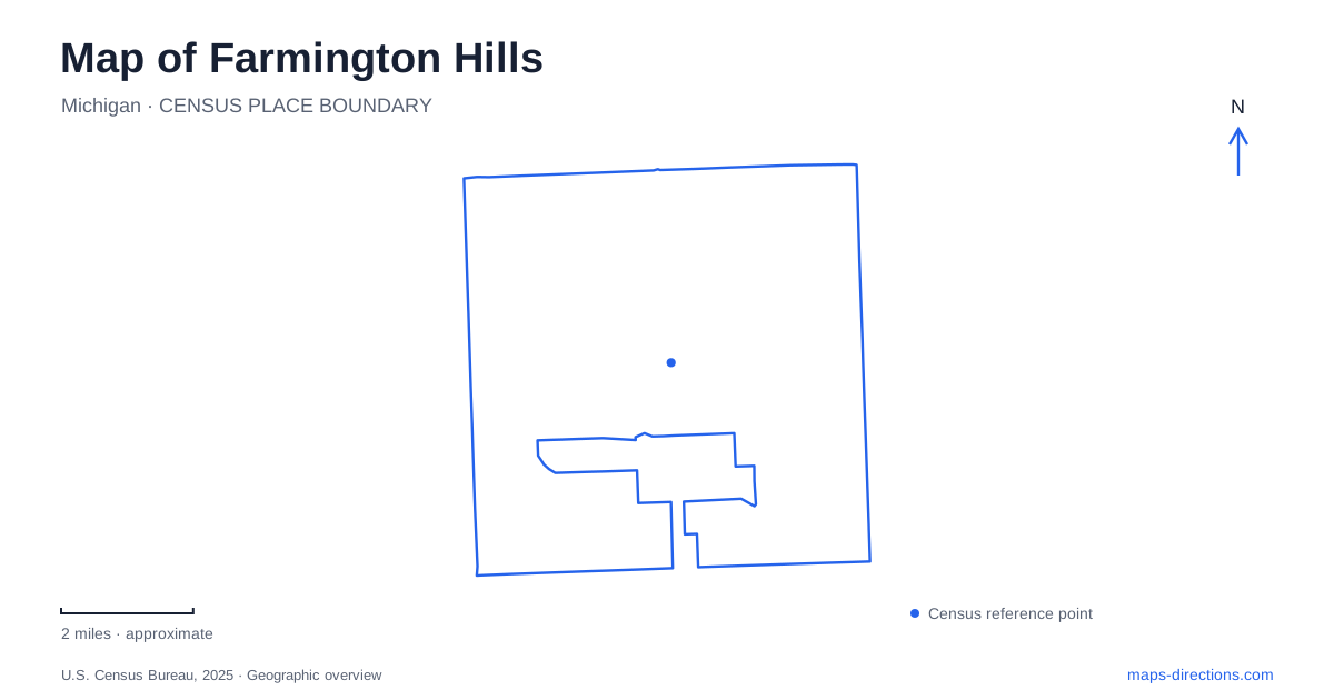
Street tiles load from OpenStreetMap when opened. The blue line shows the 2025 Census boundary.
- State
- Michigan
- Population · July 2025
- 83,291
- Land area
- 33.3 sq mi
- Water area
- 0.0 sq mi
Farmington Hills becomes easier to navigate when its numbered mile roads are paired with the named roads crossing them. A destination on Eleven Mile Road is not fully located until its relationship to Orchard Lake Road or Middlebelt is understood. The same principle separates the city's community centers, sports grounds and natural areas. Their addresses reveal a distributed network of public places rather than one central recreation district.
Eleven Mile Road links two different civic destinations
City Hall is at 31555 West Eleven Mile Road, just west of Orchard Lake Road. Costick Activities Center is at 28600 Eleven Mile Road, east of Middlebelt. The city's facility information identifies Costick as the location for the Center for Active Adults and describes its multipurpose recreation and meeting spaces. These are separate stops along the same mile-road corridor.
For a Farmington Hills appointment, the building name and nearby north-south road are useful together. Orchard Lake Road anchors the City Hall location; Middlebelt anchors Costick. The shared “Eleven Mile” wording gives a broad route relationship but does not identify the correct building. Comparing the two addresses also helps make sense of why city activity information can direct people to different facilities while using the same road name.
Costick's role is particularly important when reading program listings. A municipal activity does not necessarily take place at City Hall or at the larger community center on Twelve Mile Road. The program's venue is the geographical instruction. Retaining that name prevents an administrative mailing address from replacing the actual place where the activity occurs.
The Hawk occupies a separate Twelve Mile site
The Hawk community center is at 29995 West Twelve Mile Road, between Middlebelt and Orchard Lake Road on the south side of the street. The city's directions describe an approach from Interstate 696 using Orchard Lake Road northward and then Twelve Mile eastward. This places the facility within a clear set of intersecting corridors without requiring a visitor to know the entire surrounding neighborhood.
On a Farmington Hills map, the relationship between The Hawk and Costick is therefore more informative than the generic description “community center.” They occupy different mile roads and different positions relative to Middlebelt. Their services may both appear in recreation information, but they are not two names for the same building. A trip involving both is a movement between separate facilities.
The south-side location is another useful detail at close scale. Twelve Mile establishes the east-west approach, while the facility's side of the road establishes its immediate setting. Once the destination is located between the two named north-south roads, a detailed street view can explain the final access arrangement without confusing it with the City Hall corridor one mile-road tier away.
Heritage Park follows a more natural pattern
Heritage Park's Nature Center is at 24915 Farmington Road, beside the Day Camp building. The city's park map places the Nature Discovery Trail just north of the center and identifies features including a marsh viewing area, a Rouge River bridge and a river overlook. These references describe a landscape organized by natural features and paths rather than by a sequence of rectangular street blocks.
For a Farmington Hills nature outing, use the Nature Center as a starting reference and then read the individual trail destinations. The river bridge and overlook are different experiences within the same grounds. One identifies a crossing, while the other identifies a viewing location. Their shared relationship to the river does not make them interchangeable points on a walking route.
The park map also identifies Spicer House, Spicer Barn, the Heritage and History Center, Stables Art Studio and Longacre House. This concentration of named buildings adds a historical and cultural layer to the natural setting. A visit to an indoor program may therefore require a particular building even when the wider destination is correctly described as Heritage Park. The map's building labels are as useful as its trails.
Eight Mile Road identifies the major sports grounds
Founders Sports Park is at 35500 Eight Mile Road, on the north side of the road roughly a quarter-mile east of Halsted. The city describes a 101-acre site with soccer and baseball or softball fields, courts, disc golf, Riley Skatepark and a fishing pier. This is an active recreation landscape with multiple destinations inside one large property.
The Halsted relationship helps place the park within the road network before attention shifts to an individual field or activity. Eight Mile identifies the broader approach, while the sports-park layout explains the final part of the visit. The skatepark and a scheduled field game share a property but should still be treated as separate internal destinations when arranging a meeting.
Use road pairs to connect the public places
A practical Farmington Hills map can be built around these specific pairings: Eleven Mile with Orchard Lake for City Hall, Eleven Mile with Middlebelt for Costick, Twelve Mile between those corridors for The Hawk, Farmington Road for Heritage Park, and Eight Mile near Halsted for Founders. The mile-road system supplies the broad structure. Facility names, river features and individual buildings supply the detail needed to turn that structure into an understandable local journey.
Map and statistics: U.S. Census Bureau, 2025 Gazetteer, January 2025 generalized place boundaries and Vintage 2025 population estimates. Local references: City of Farmington Hills. Article prepared by Maps & Directions.