Map of Fall River
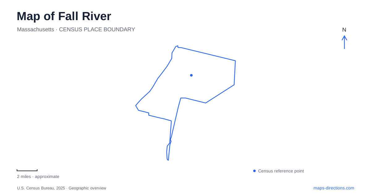
Street tiles load from OpenStreetMap when opened. The blue line shows the 2025 Census boundary.
- State
- Massachusetts
- Population · July 2025
- 95,298
- Land area
- 33.1 sq mi
- Water area
- 7.1 sq mi
Fall River’s waterfront map has been reshaped by roadway redevelopment. The Taunton River remains the main geographic reference, but the roads beside it now include a redesigned urban boulevard, and commuter trains returned in 2025. Historic ships and textile-history interpretation share this waterfront with modern transportation infrastructure. Understanding the city means looking at these layers together: the river that supported commerce, the smaller waterway that powered mills, and the routes now reconnecting neighborhoods with the shore.
Where the two rivers meet
The Quequechan enters the Taunton beside Heritage State Park. The park occupies the Taunton’s eastern bank and spans the smaller river’s mouth by a pedestrian bridge. This is a particularly informative place to begin interpreting the terrain. One river forms the broad waterfront; the other explains the concentrated waterpower that helped establish industry inland.
A state landscape inventory records a drop of about 130 feet over 2,300 feet along the Quequechan. Early grist and fulling mills, followed by textile manufacturing, used that descending water. Much of the river was later placed underground, so its industrial importance is larger than its present visibility might suggest. The absence of a continuous open stream on a street map does not erase the role its slope played in shaping development.
The contrast between the two waterways also explains why the city’s name and its most visible river do not tell exactly the same story. The broad Taunton waterfront and the falling Quequechan belong to one connected landscape, but their functions and physical forms differ.
Public ground at the former industrial waterfront
Fall River Heritage State Park opened in 1984 on land acquired earlier in that decade. Its purpose combines public open space with interpretation of the textile industry and the people who worked in it. The visitor center occupies the Captain Thomas J. Hudner Memorial Building at 100 Davol Street, with designated parking identified by the state at 1 Central Street.
The center’s exhibits address immigration, manufacturing, and the city’s former role as a seaport linking New York and Boston. Outside, a meadow and waterfront walking route place those subjects within view of the river. The boardwalk offers views toward the preserved ships and Braga Bridge. It is possible to understand the waterfront through the public landscape itself before entering any individual museum.
These streets and landmarks also give the park a clear position within the urban plan. Davol Street follows the waterfront corridor, Central Street locates a practical approach, and the bridge supplies a large-scale reference overhead and across the river.
Ships and maritime collections on Water Street
Battleship Cove uses 5 Water Street as its principal visitor address. The collection includes USS Massachusetts, USS Joseph P. Kennedy Jr., and USS Lionfish, for which the institution provides separate self-guided tour maps. The variety of vessels means that the floating museum is itself a collection of routes and interior spaces, rather than one conventional exhibition building.
The associated Maritime Museum is at 70 Water Street. Its displays include a 28-foot Titanic model used in the 1953 film. This shore-based collection offers a different kind of maritime interpretation from boarding the preserved naval vessels. Their proximity makes them related destinations, but their distinct buildings and admission arrangements deserve attention when organizing a waterfront visit.
For Fall River, these collections extend the waterfront story beyond textile production. Commercial travel, naval service, preserved machinery, and museum interpretation now occupy a shoreline whose economic purposes have changed over time.
Davol Street’s new relationship with the shore
The Route 79–Davol Street project replaced the former roadway arrangement with an urban boulevard, reaching full beneficial use in January 2026. The corridor was transformed into an urban boulevard with improved pedestrian and bicycle facilities and additional connections between neighborhoods and the Taunton River.
Older descriptions of this part of Fall River emphasize a limited-access highway separating neighborhoods from the shore. Those descriptions remain useful history, but they no longer adequately describe the road layout. The redesign changes how the waterfront relates to adjoining streets, making the cross-street connections as important to a current map as the north–south corridor itself.
Commuter rail returns to the regional map
South Coast Rail began service on March 24, 2025. The new station at Fall River Depot joined the regional commuter-rail system through a project that also constructed stations at Freetown, East Taunton, and other South Coast locations. This introduces another arrival pattern alongside road travel and waterfront walking.
The depot belongs to an active transportation network, while the ships and maritime displays preserve earlier forms of movement. Together with the redesigned boulevard, it shows that the local map is still evolving. The waterways remain the enduring framework, but the means of reaching and moving alongside them continue to change.
Map and statistics: U.S. Census Bureau, 2025 Gazetteer, January 2025 generalized place boundaries and Vintage 2025 population estimates. Local references: Massachusetts DCR; Battleship Cove; MassDOT; MassDOT and MBTA. Article prepared by Maps & Directions.