Map of Euclid
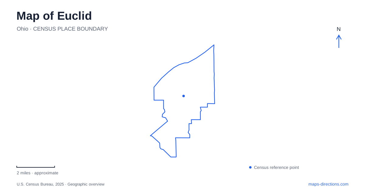
Street tiles load from OpenStreetMap when opened. The blue line shows the 2025 Census boundary.
- State
- Ohio
- Population · July 2025
- 47,962
- Land area
- 10.7 sq mi
- Water area
- 0.8 sq mi
Euclid's Lake Erie frontage provides a clear northern reference, but a lake label alone does not identify public access. Sims Park, the Lakefront Trail and the Joseph Farrell Memorial Fishing Pier are more useful destination names. They describe a particular group of waterfront facilities rather than every property along the shore. Before choosing an approach, decide whether you want the park grounds, a trail entrance, the pier or a specific historic building within the park.
Sims Park contains several destinations
Kenneth J. Sims Park includes Henn Mansion, a fishing pier and connections to the Lakefront Trail. These features explain why a single park pin can be too broad for a meeting or event. Someone waiting at the mansion is not necessarily visible to someone who has already continued toward the water. Keep the actual facility name attached to the route rather than reducing every destination to the park label.
The city identifies Henn Mansion at 23131 Lake Shore Boulevard. Preserve the full address if a booking or event specifies that building. For a waterfront walk, review the park's internal paths as a separate step after locating the street entrance. The useful distinction is between arriving at the grounds and reaching the intended feature within them; a driving route generally resolves only the first of those questions.
Lakeshore Boulevard and the numbered streets
Lakeshore Boulevard helps connect the waterfront setting with downtown. City project information identifies East 228th Street as the street reference for a plaza and path connection into Sims Park. The same information discusses East 222nd Street near Triangle Park and Shore Cultural Centre. These numbered cross streets provide a way to distinguish the downtown approach from a particular park connection without depending on a loosely placed neighborhood label.
For a map of Euclid, keep both the boulevard and the relevant numbered street in view. Cropping too closely around a lakefront marker can remove the intersection that explains how you approach it from the street network. The street numbers are useful orientation clues, but they should not be converted into an assumed walking distance. The actual path, crossings and destination entrance determine the route.
An important beach-name distinction
Euclid Beach Park is a Cleveland Metroparks destination in Cleveland. It is not another name for Sims Park. The park operator identifies a beach, picnic areas and an observation pier at the former amusement-park site. This is precisely the sort of familiar name that can produce the wrong result when a search is shortened to a city name and “beach.”
The regional park system also uses the name Euclid Creek Reservation. Retain the specific facility name when examining its map, because a reservation can contain several separate destinations. A pier search is especially ambiguous: the Metroparks waterfront and Sims Park both have named waterfront features. Check the operator and the intended park before following directions, and confirm that everyone in a group has saved the same destination rather than merely a similar-sounding one.
Existing paths and the reimagined park
The city adopted a new Sims Park master plan in June 2025. Its published goals include improving connections among the mansion, fishing pier and waterfront trail, as well as reconsidering parking, overlooks and recreation areas. Those goals explain why a planning document may show a layout different from an older visitor map. Adoption establishes a plan; it does not by itself establish that every proposed path or facility has been built.
Use planning material to understand the park's direction of change, then use current visitor information for the actual arrival. In particular, a proposed east-side pathway or reorganized parking area should not become the basis for an unverified shortcut. This distinction is useful even if the large landmarks remain recognizable, because the final approach between those landmarks is the part most likely to differ between a concept drawing and an operational site.
Build a waterfront itinerary from specific places
A practical Euclid outing can be organized around a downtown meeting point, a named park feature and the intended section of waterfront trail. Save each separately before connecting them. The lake establishes the broad direction; Lakeshore Boulevard and the numbered streets establish the approach; the park map resolves the last portion. Keeping those roles distinct avoids confusing a regional shoreline view with directions to a public entrance. It also preserves the difference between the city's own waterfront facilities and nearby destinations carrying a similar historic place name.
Map and statistics: U.S. Census Bureau, 2025 Gazetteer, January 2025 generalized place boundaries and Vintage 2025 population estimates. Local references: City of Euclid; Cleveland Metroparks. Article prepared by Maps & Directions.