Map of Estero
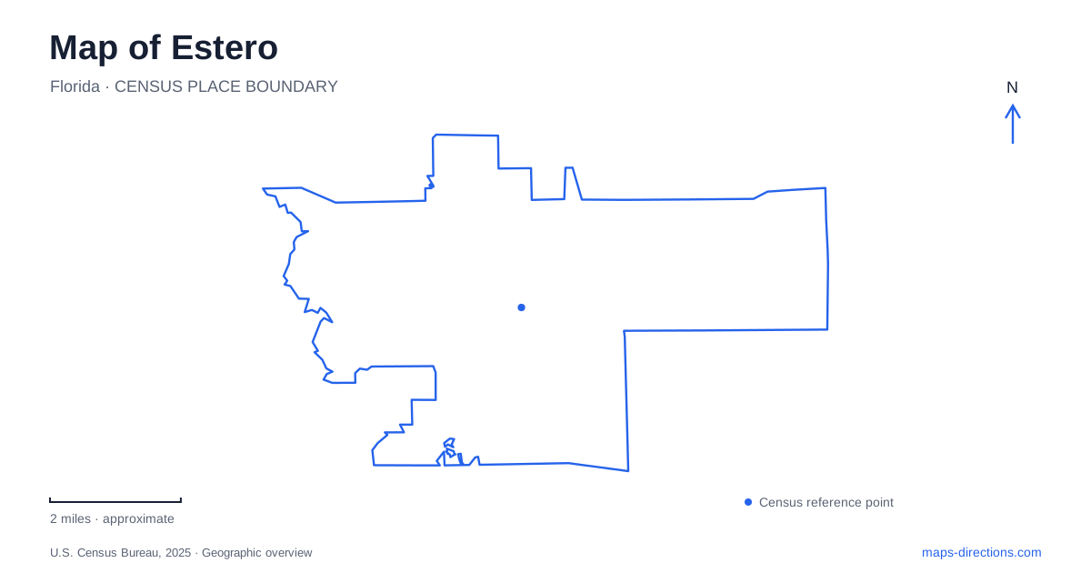
Street tiles load from OpenStreetMap when opened. The blue line shows the 2025 Census boundary.
- State
- Florida
- Population · July 2025
- 38,365
- Land area
- 24.4 sq mi
- Water area
- 1.0 sq mi
Estero has a modern village boundary, an older river settlement and a much deeper Indigenous history in the surrounding bay. These layers occupy different spaces. A state historic park preserves a communal settlement, a community park holds relocated buildings, and an offshore archaeological island requires a water journey. A useful map keeps those places distinct while showing the river and bay that connect their stories.
A river settlement before the modern village
The municipal history places much of the area's development before the 1970s near the Estero River, formerly called a creek. Citrus farming used that waterway for transport: Gustave Damkohler grew fruit beside it in the 1880s and shipped harvests toward the Gulf. This gives the river a commercial as well as a scenic role in the early settlement.
The municipality created in 1904 covered a much larger territory than the village established in December 2014. The earlier incorporation extended across places now associated with other coastal communities. When an old document uses the town's name, its geographical reach therefore needs context. A historical boundary and the current village outline describe different administrative periods, not two competing measurements of the same place.
The Koreshan settlement beside the water
Cyrus Reed Teed brought followers from Chicago in 1894 to establish a community based on Koreshanity. Members' belief that the universe existed inside a hollow sphere was part of their faith, not an accepted scientific description. Their settlement also had practical workshops and businesses, including printing, boatbuilding, a sawmill, a bakery and a store. These activities help explain why the preserved site contains more than residences or religious meeting places.
Koreshan State Park retains eleven historic structures dating from 1882 to 1920. The last four members transferred 305 acres to the state in 1961. On a map of Estero, this property represents a surviving settlement landscape whose working buildings and planted grounds developed together. It should not be confused with the entire territory once claimed by the incorporated town.
A school building moved into community parkland
The historical society's schoolhouse supplies a perspective outside the communal settlement. Opened in 1904, it served local families and later expanded after hurricane damage. Repairs in 1911 added space for younger children and a front porch. The institution's history reflects citrus growers, fishing families and the public education system, alongside the better-known Koreshan story.
In May 2009, the old school and its neighboring Hall/Hanson/Collier house moved from near Highlands Avenue and County Road into the community park. Their present proximity is meaningful, but their current setting is a preservation location. It does not show the original school site. Comparing these relocated structures with the buildings retained at the state park reveals two different ways the area has preserved its history.
Mound Key and the Calusa landscape
Mound Key belongs to the wider bay setting rather than the village street network. Florida State Parks identifies it as the probable capital of the Calusa people. Its shell mounds are evidence of generations of occupation and landscape building, not ordinary natural hills. The island's position in a productive estuary helped support a society with extensive regional connections long before nineteenth-century citrus farms or communal settlement.
The state's historical account records a meeting between the Calusa ruler and the Spanish colonial governor here in 1566. Later fishing families and homesteaders also used the island. These successive occupations should remain distinct: the island's story cannot be reduced to a single settlement date or treated as an extension of the mainland pioneer village.
The water crossing changes the meaning of distance
Mound Key has no road connection. The park service describes it as roughly four and a half miles west of Koreshan State Park and about one and a half miles north of Lovers Key State Park. Those relationships help locate it within the bay; they do not establish a driving route or a guaranteed paddling time. The two mainland launch areas are separate destinations with different approaches.
On the island, a trail of approximately one mile connects the northwest and southeast landings and crosses two substantial mounds. This is a compact archaeological walk reached through a larger marine landscape. Its size on a street map can conceal the practical distinction between reaching a mainland park and reaching an offshore landing.
Reading the village in its regional setting
Estero is best understood through the relationship between those water and land histories. The river carried citrus harvests and supported a communal settlement. Relocated school buildings preserve another strand of community life. Mound Key preserves an Indigenous center whose importance predates both. The village boundary organizes modern government, but it does not contain every place associated with the area's name.
A map of Estero becomes more informative when these layers are read separately: current streets and boundaries, surviving settlement grounds, moved historic buildings and the bay's archaeological landscape. That approach respects the differences between a mainland address, a preservation campus and an island destination.
Map and statistics: U.S. Census Bureau, 2025 Gazetteer, January 2025 generalized place boundaries and Vintage 2025 population estimates. Local references: Village of Estero; Florida State Parks; Estero Historical Society. Article prepared by Maps & Directions.